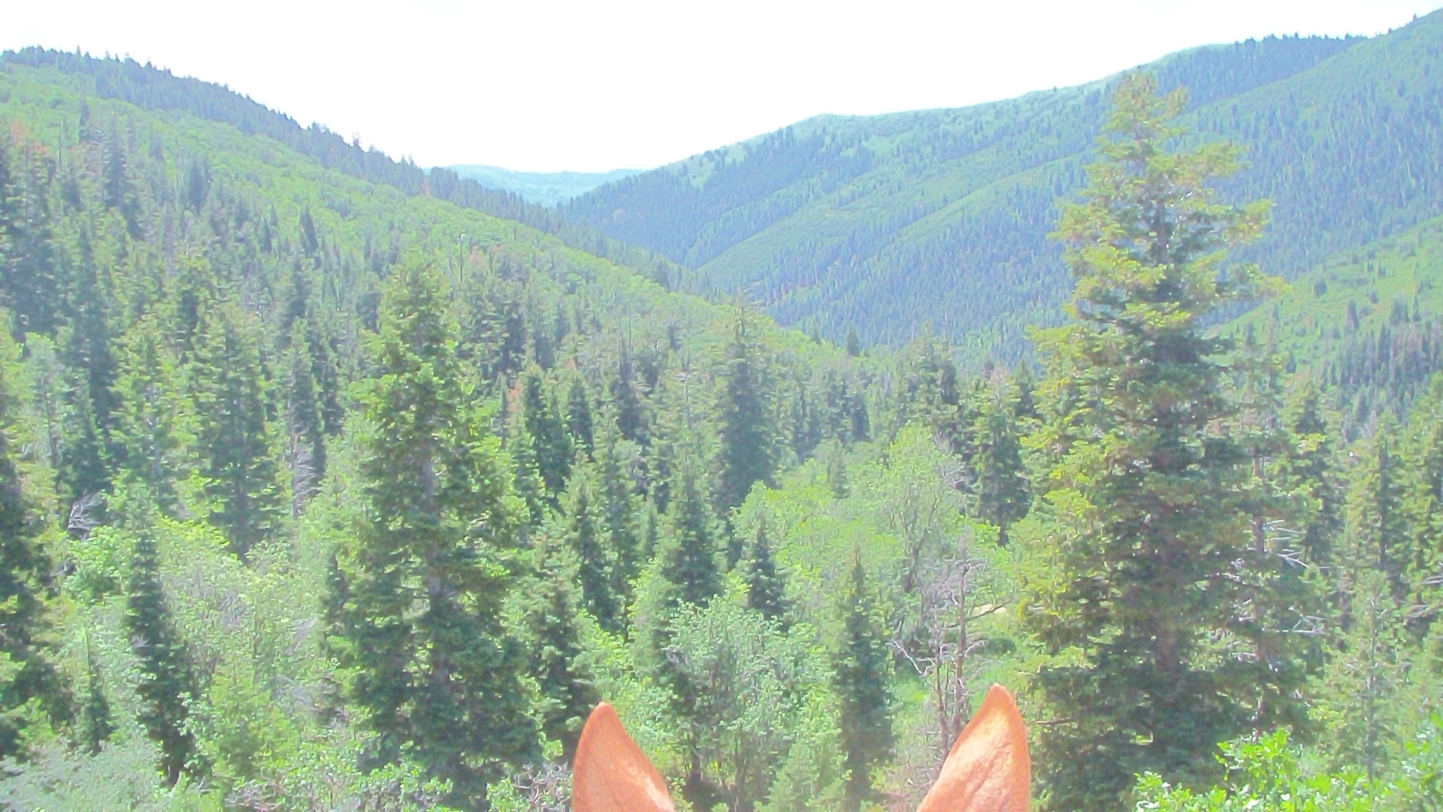
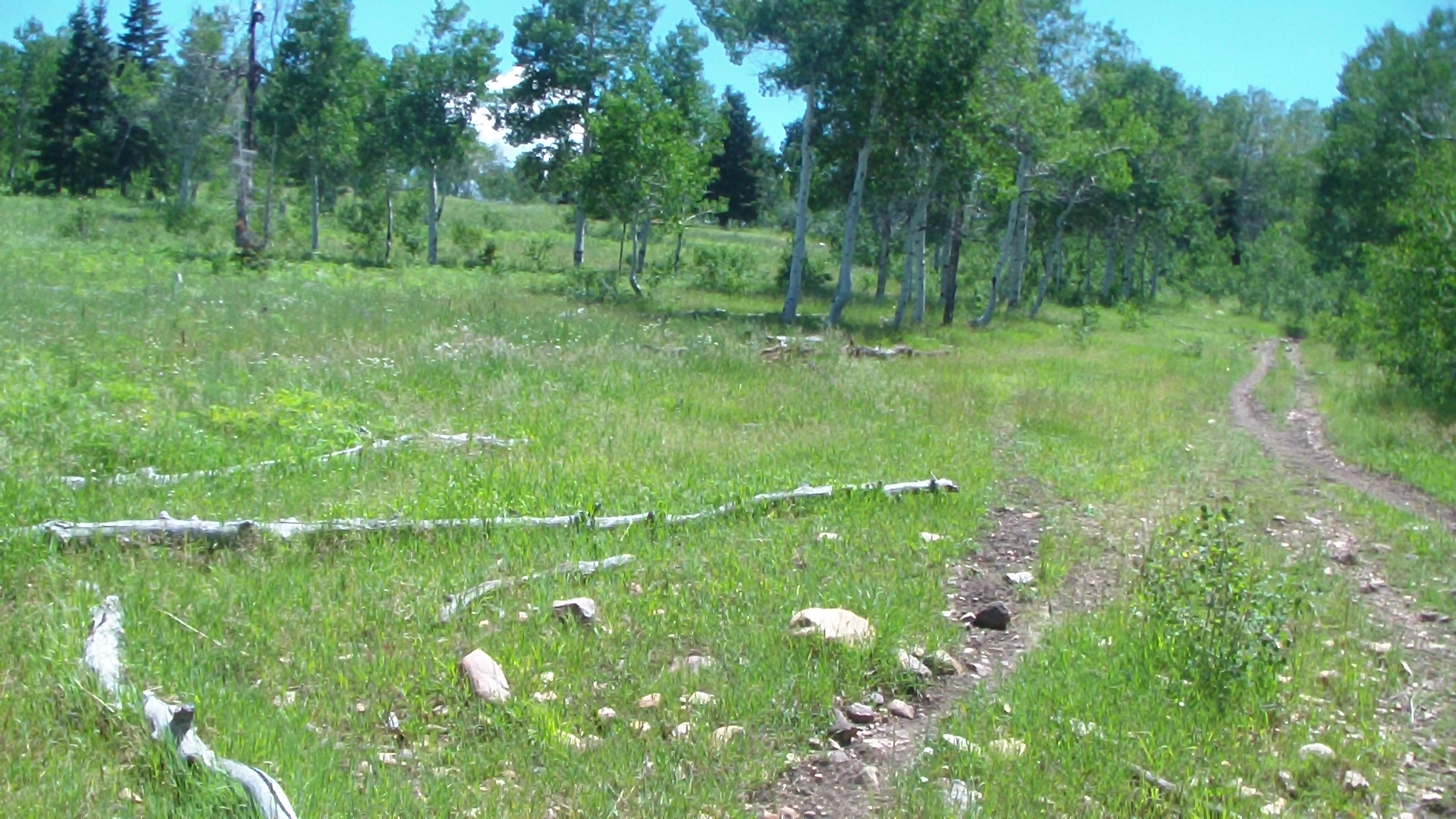
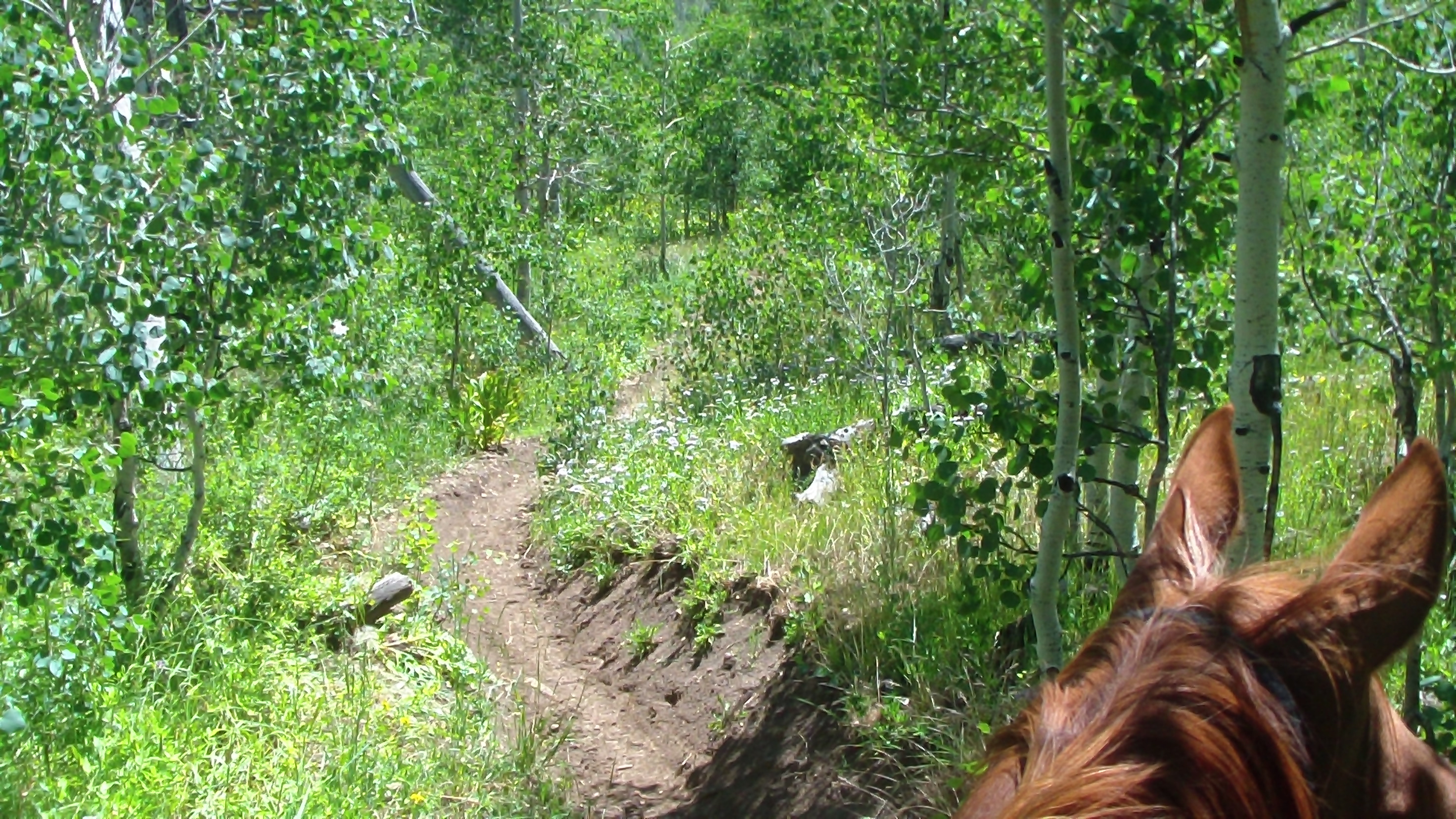
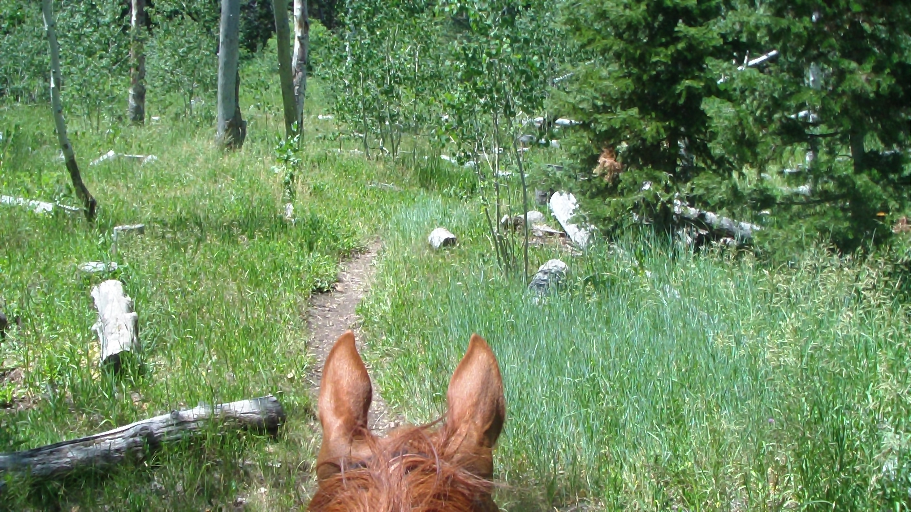
Today, I had mapped out the next smallest loop, about 7 miles, and headed south out of camp on the trail we SHOULD have come back on the other, but missed at the gate. Today, the trails were nice and dry, though a bit rockier in some places. We followed the loop to the trailhead by the campground turn-off, but then couldn't find where we were supposed to pick up the trail on the other side. Since I had seen a bevy of horse campers dry camping just up the road, I headed that way, then discovered the trail intersected behind the camp, so we picked it up there. That led us to some beautiful meadows which actually gave us the opportunity to get some cantering in, before turning back up to climb the mountain again. Fortunately there was a watering trough about halfway up the hill, this dry mountain air is very desiccating! We finally reached the road again, and again there was no indication where to pick up the trail on the other side, but we went around a cattle guard up to another dry camping area, where there was a gate that evidently went down to the trails. We went through the next gate, and there was a clear trail straight ahead and what seemed to be a lesser trail off to the left, so we went straight ahead. That turned out to be a mistake. Though it stayed nice for quite a ways, through meadows and woods and was very pleasant, eventually the trail started to get narrower and narrower, until it all but disappeared. We climbed through brush to the top of the mountain to see where we were, and realized we were way off, so we had to try to back track, which was a challenge as the "trail" we came up on, towards the end, wasn't a trail, and we couldn't find it, so we had to head downhill hoping we would cross it, and eventually we did. Paying more attention to my GPS, we ended all the way back at the gate by the road again, still not sure which way to go. I decided to try the trail that bore off to the left, which seemed like the right direction, but after a few hundred yards, I became less sure, and didn't want to go off on another tangent. Meanwhile, Apollo got pretty rankled when I tried to turn around yet again, he was obviously sure that was the right way. We went back to the intersection yet again, when I finally saw a brown trail sign with 084 on it laying on the grown, which was the right number, but it was almost impossible to see buried in the brush, plus it seem to be pointing up the original trail we had taken. I followed it again, thinking maybe we had just missed a turnoff, but couldn't find anything else, so out of frustration and lack of any more choices, I took the trail Apollo was so keen on and headed out. It rimmed the edge of the mountain, and the views were beautiful, but by now we were starting to get tired, as we had already passed the 2 ½ hours we had planned for the day. After about half a mile, though, my GPS finally confirmed we were on the right trail, and we breathed a sigh of relief and trooped onward. At last we rejoined the loop from which we began, and managed to struggle back into camp, four hours after we left. Now, I know, four hours isn't much for some people, but this trail was much steeper coming and going, so it got a bit uncomfortable, and we were using a lot of muscles we don't normally use, so it was very tiring. To make matters worse, our big dog Marina had a bout of diarrhea while we were gone, so we had a mess to clean up in the house before we could finally settle down. We just managed to get everyone settled in before we collapsed for the evening.
Speak Your Mind