
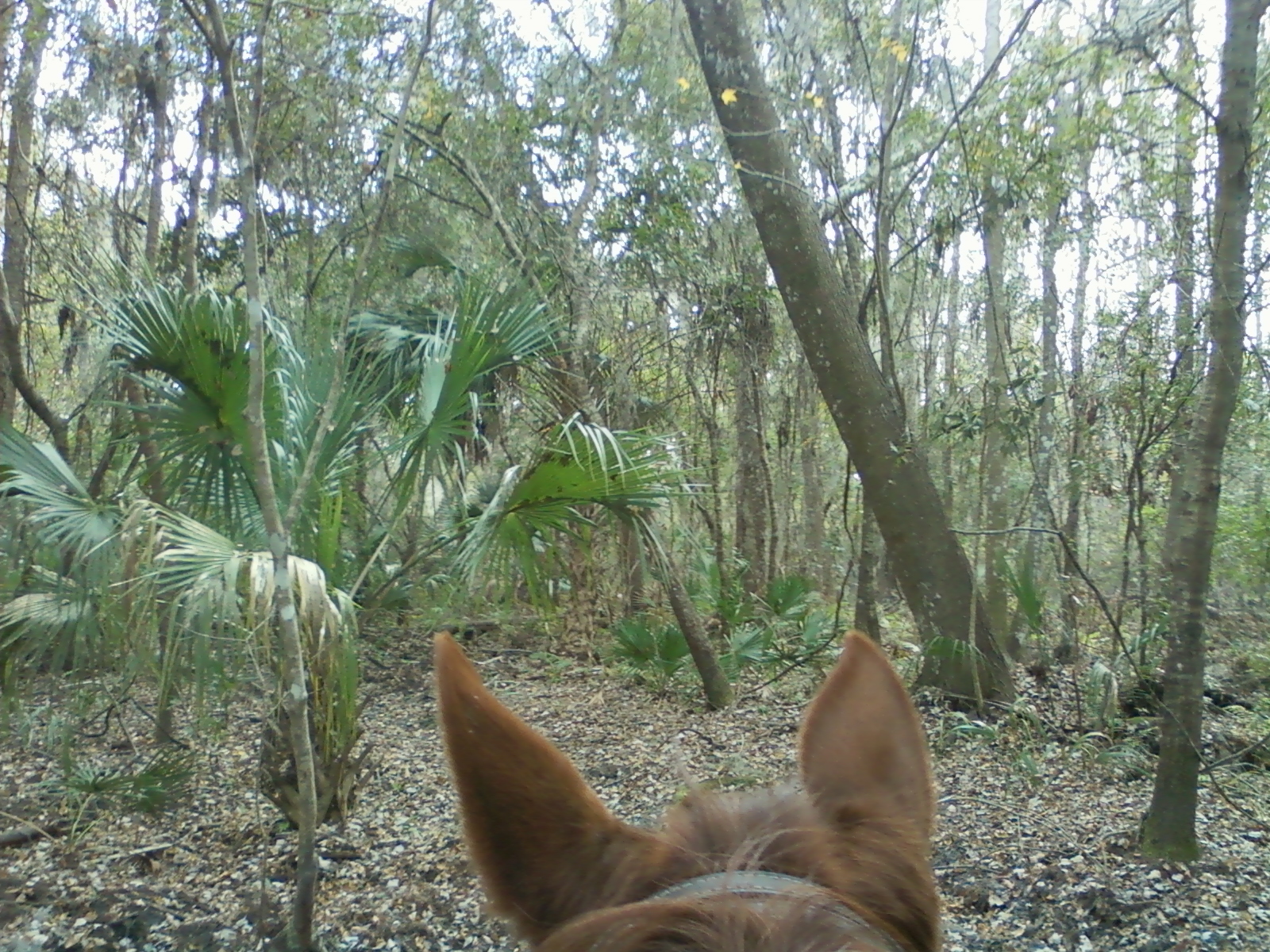
 Another quiet night for everyone, the horses seemed much more relaxed last night and this morning. Either the pigs went elsewhere or the horses are starting to get used to the smell! Either way they seemed more rested. After a leisurely breakfast and a few chores, we headed out on the trail around 1:00. Today, we just meandered a bit. We did a little exploring around the southwest part of the park, an area they call the Sundance Trails. As expected, the trail map wasn’t as accurate as I would like, so we just wandered somewhat, a bit on the blue trail, a bit on the white trail, a bit on one of the many silver trails, crossed the road to do part of the red mustang trail backwards from yesterday, then back to the southwest corner to go on what we missed. There a lots of long straight grassy trails so we did a lot of cantering today, as we continue to condition the horses and ourselves for longer and longer rides. We got back a little after three, and I spent the rest of the day playing around with Google Earth. I discovered I could overlay the map the ranger gave me on top of the Google Earth satellite map of the area and then roughly trace out the trails with actual lines the color of the depicted trail. Then I can readjust the trail from the rough map to the actual trail as I can see it on Google Earth. Pretty cool! Thinking about doing this for a bunch of maps I already have downloaded or scanned. I’ve been collecting quite a library over the years, and I may just add those to the new website I’m designing, which I’m going to put up as Equicamping.com in a few weeks. Stay tuned for more as we get closer to our launch date! Watched some football and TV for the rest of the evening, intermittently working on my maps. Rest day tomorrow!
Speak Your Mind