Wednesday, October 17, 2012 – Travel Day to James River State Park

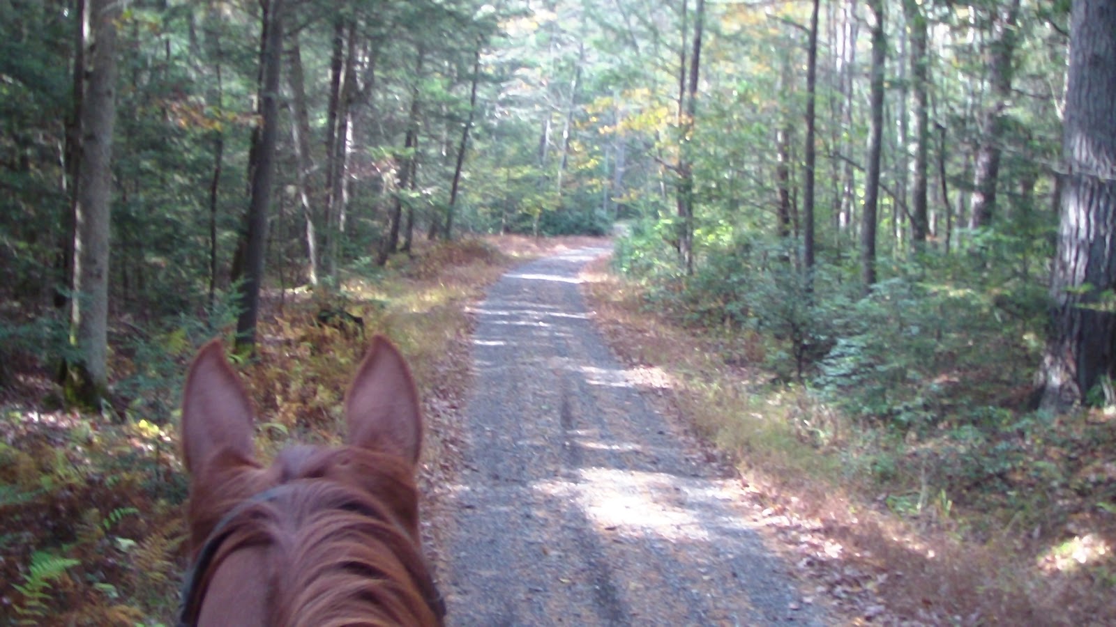
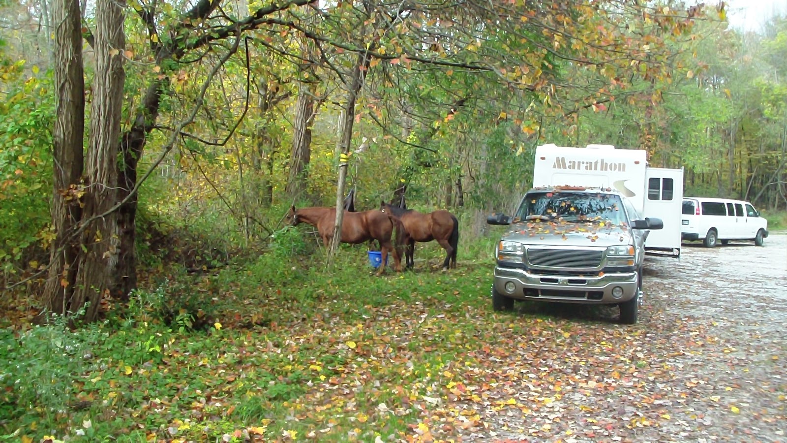
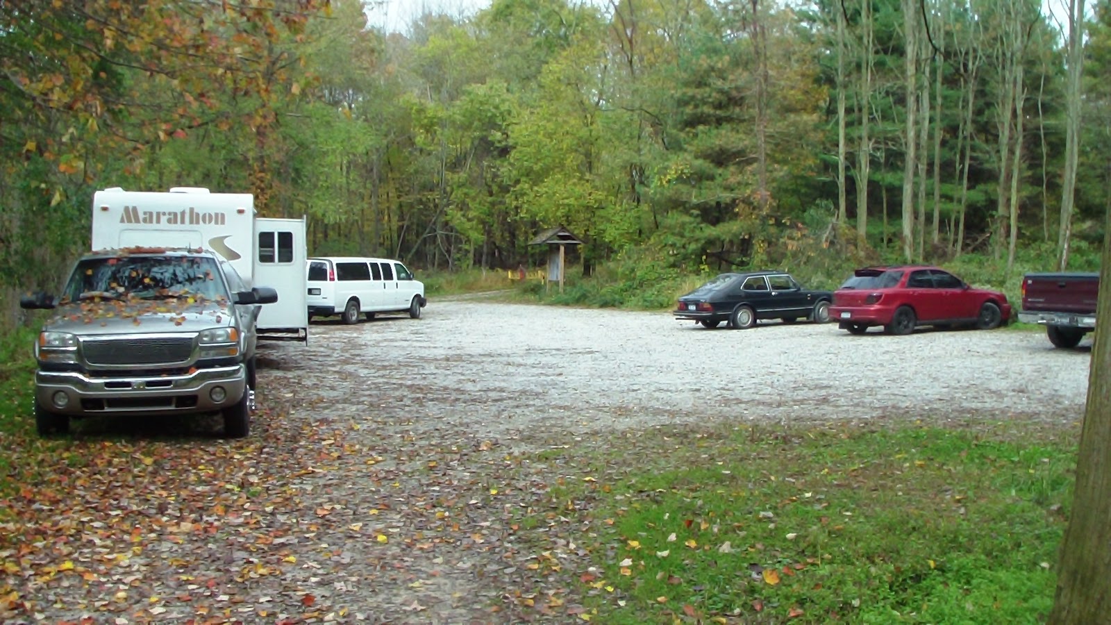
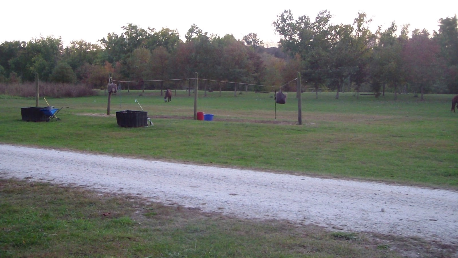
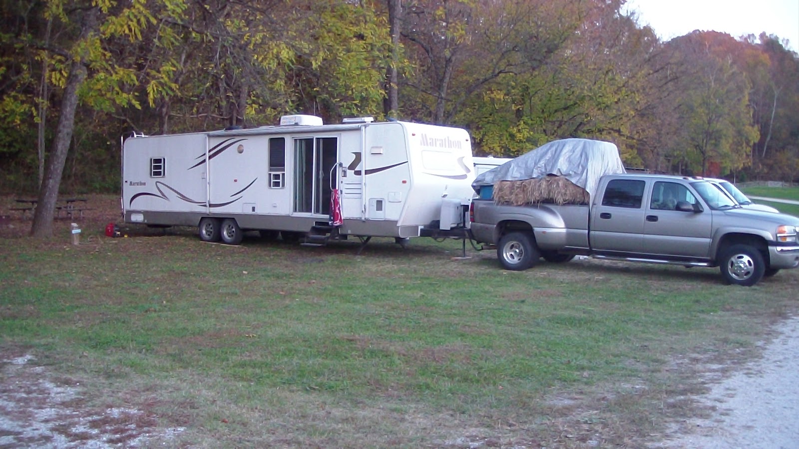
Headed out early, picked up breakfast at BK (DD’s driveway was too small for me!), and had an easy drive almost entirely on freeway, with stops for gas, propane and groceries. Google maps put the Southern States in the wrong place, so we had a little side step along the way, but they did, in fact, quickly recertify our tank and fill it up, so that was a worthwhile achievement. One last stop and Walmart for groceries and sundries, and we headed out to cross-country to James River State Park. We were a bit worried about getting there before the office closed, ostensibly at 4:00, but, in fact, they were closed all day on Tuesdays and Wednesdays, so there wasn’t anyone around when we arrived anyway. We had originally planned to stay in an electric site at the Horseshoe Campground, but there wasn’t anyplace to highline the horses. Apparently they’re required to be in the covered stalls, which was an addition $9 per horse per night, plus there was no grass for the horses to graze on, and, frankly, it was not a very attractive campground, so we opted to go down to the primitive horse camping area at Canoe Landing by the river. That area was empty, so we picked a spot, put the horses out on the anchors so they could graze, and proceeded to get set up. Easy satellite find here, and the cell phone signal was even good enough to use the internet, a fabulous improvement over the last time we were here! Looking forward to a nice, quiet week of relaxation and riding. First order of business, though, is to find some hay, as we’re down to two bales!
Tuesday, October 16, 2012 – Van Repair Day

Woke up during the night and had a hard time getting back to sleep, finally did, then slept through past 9:30. After breakfast, Hubby went out and worked on the van to find the problem, and concluded it was the alternator. I was a bit concerned that it might be too late to find a shop that could do the job so late, but we were planning on leaving tomorrow so we didn’t really have much of a choice. I jumped in the van and headed down to Shippensburg, the nearest town, about 10 miles away. Once I got there, and had a great signal, I googled auto repair and got a long list. The first review was for a Gulf station, and the reviews were excellent, so I headed there, less than a mile away. Pulled in, asked if they had a mechanic on duty, rec’d the response YES, and I headed in to talk with him. What a fantastic place! Really clean, very nice, and they had an open bay so in it went! I headed into the waiting room and started taking care of business, and before I knew it, the van was parked outside the window in front of me! It took barely an hour to get the job done, and was very reasonably priced as well. Had a nice chat with the other woman in the waiting room, then I ended up hanging around another 30-45 minutes just to get more work done. Finally headed back to the camp, arriving about 3:30, much earlier than either of us had expected, but thrilled that we could leave on schedule tomorrow. Started putting stuff away, cleaned up the yard where the horses have been grazing, and generally tidied up in preparation for our departure. Need to get out early early tomorrow, a long day with several stops along the way, including a place to get our propane tanks recertified. Though the guy at Agway had said it would take two weeks for a fee (so why don’t you buy a new tank from us…?), the woman at Augusta Petroleum in Staunton said they could do it immediately and for free! Looking forward to finding out if that’s true! Relaxed for the evening, ready to get up early.

Monday, October 15, 2012 – Ride Day at Gettysburg Military Park

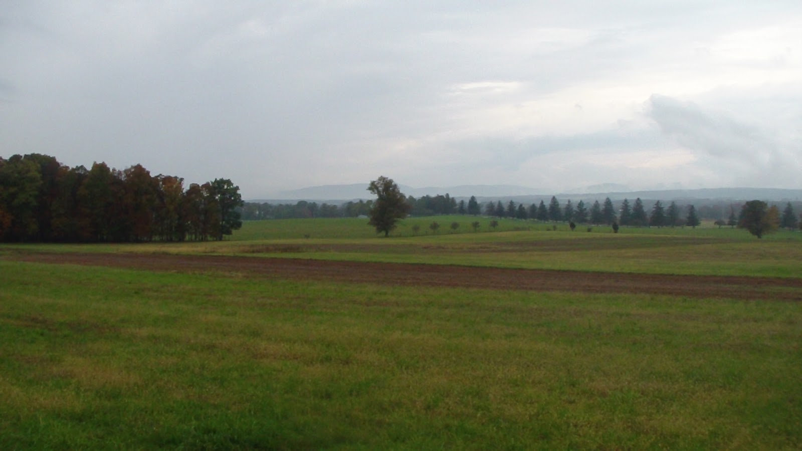
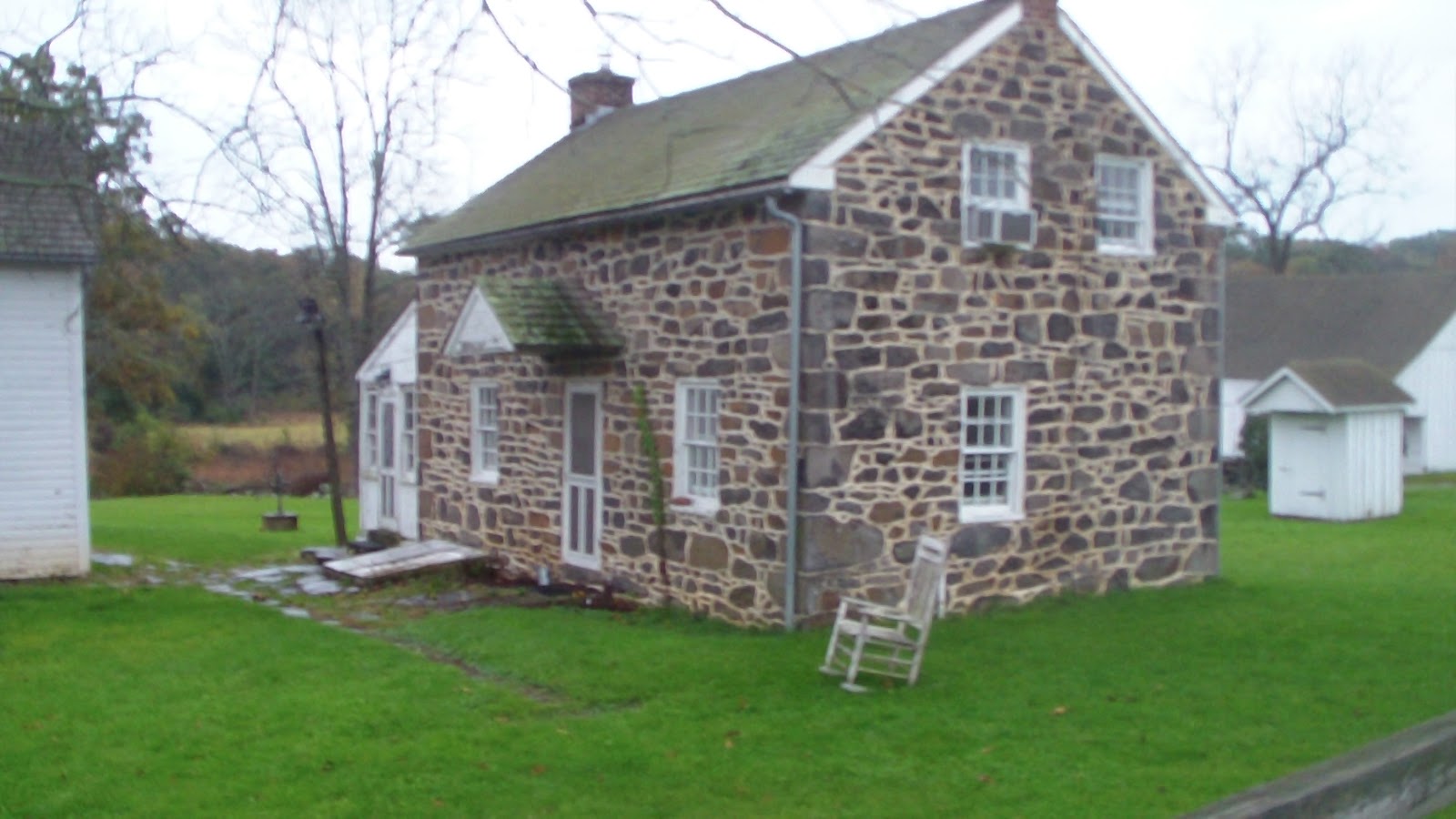
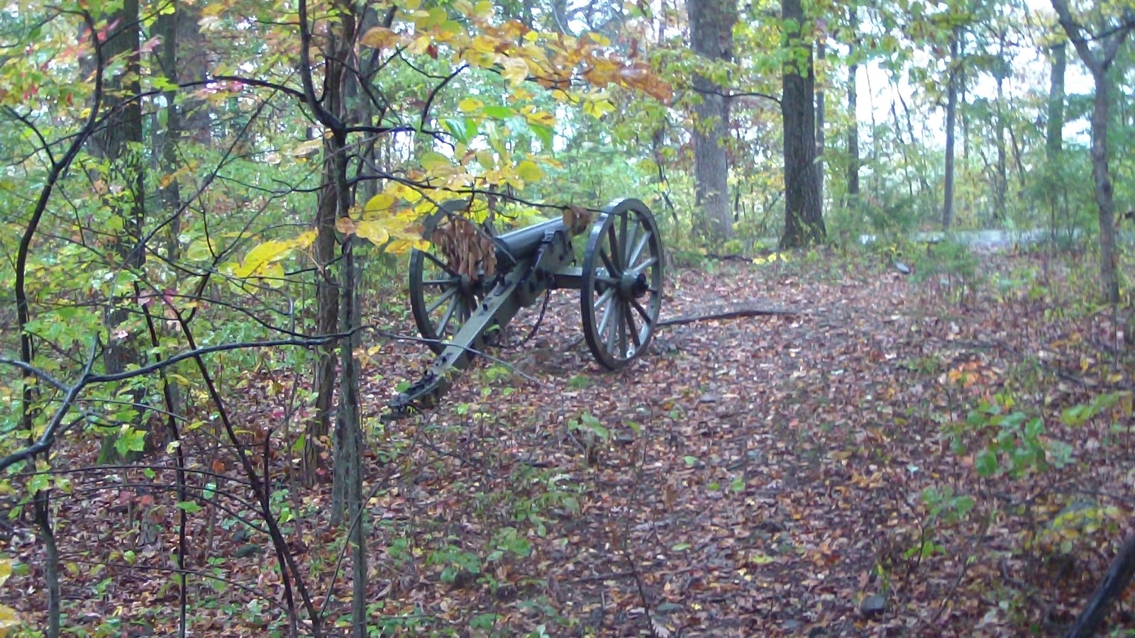
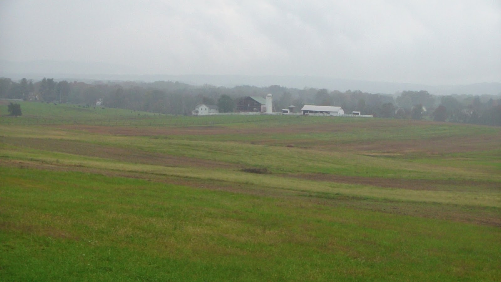
The weather forecast is calling for intermittent rain and warm temps today, then a cold front coming in overnight, so our choice for riding at Gettsyburg is warm and wet or cold and sunny, so we decided warm and wet (hey, that’s what slickers are for!), so we set the alarm for a bit earlier, but it didn’t go off on schedule. We decided to skip breakfast here, discovering that with the new propane regular it switches tanks automatically, so we have no idea when one tank is empty, and realized both tanks were empty this morning anyway. We packed them up in the van with us, got the horses loaded in and headed down to Gettysburg. Didn’t find a fast food place before 10:30, so we ended up going to Friendlys for a quick breakfast and to get online to find a propane dealer, a grocery store and a gas station, as well as the best route to the McMillan Woods Horse Trailer Parking lot where the Gettysburg trailhead was. From there we headed to the Agway for propane, but could only get one tank filled because the other one was out of date and apparently needs to be re-certified, another item on our list of things to do. By 12:50 we were saddled and booted up and ready to go. There were two other horse trailers there, apparently a concessionaire who was hoping for some business, but it had drizzled a few times already, so their chances where probably slim. I asked about footing and one of the ladies suggested boots on front because of some gravel-ly areas, and another woman warned us a “storm” was coming in, but I told her “That’s what slickers are for :-).” We prepared as best we could be, then headed up the road to the trailhead. The trails were wide and well-groomed, and were mostly grass, dirt and fine gravel, with just a few spots that had larger gravel fill. The trail (or rather, bridle path) weaved along stone and continental-style split rail fences, following the edges of fields at times, other time through dense forest. The trail mostly followed Confederate Ave.,where there were many monuments from which to read and learn, though after awhile it became a bit too depressing, thinking of all the waste involved with the whole battle. The path wound past many of the farms that were integrally involved during the famous battle, including one that served as a sort of make-shift hospital. Anyway, the trip was about just over 8 miles, and it was very easy, no real grades or hills to speak of, though the horses were good, they weren’t in the mood to do a lot of cantering, probably still tired from all the climbing and the rough trail from yesterday. Though it rained for most of the first half of the ride, by 3:00 it had stopped raining, and by 3:30 the sun was moving in nicely, making it a beautiful day in the end. We had a nice chat with a couple by the Longstreet Memorial, then arrived back at the parking lot by 4:30, out the lot with a full tank of water by 5:00. Headed to the Giant Supermarket for a few grocery items and to get gas, then back up the mountain to the Forest. On the way, I noticed the battery light blinking on the van, and the gauge indicated the batteries were discharging, so chalk another item on Hubby’s list of things to do tomorrow! We’re hoping it will turn out to be just a loose wire somewhere in the system, but the van is 10 years old, so it wouldn’t surprise us if it was the alternator. Got the horses blanketed, fed and settled in before dark, and soon the same for the dogs and us!

Sunday, October 14, 2012 – Ride Day at Michaux State Forest, PA

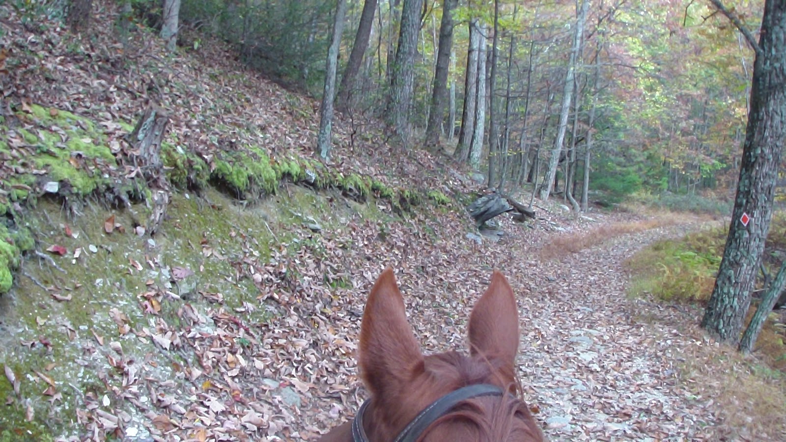
Nice weather today, so we headed out for a ride today, following the map and a rough GPS trail I made with imperfect information, so I wasn’t expecting much, particularly since the second half was on a dirt and gravel forest road. We started out fine, hitting the first intersection marker with no problem, but from there it dramatically changed. According to the map, at the first intersection, you could turn right to follow the utility line, or keep straight for a nice loop we planned to take. Too bad that wasn’t true. NOT on the map was that the trail that went straight ahead was NOT the trail that went to the loop, it was a completely different trail that went down the mountain straight to Route 233! What the map apparently MEANT to indicate was that you had to follow the trail to the utility line, THEN go straight across the clearing to pick up the trail, or turn right to stay on the utility line. So we ended up going all the way down the mountain, looking for the right turn that would keep us on the loop we planned, backtracking twice from the main road, since the map clearly showed we weren’t supposed to cross the road. Eventually, we decided we’d rather go forward than back, so we crossed the road and climbed a hill on the other side until we met up with a forest road. After analyzing the forest map again, we headed right down the road, hoping it would loop back around to 233 again, with a trail that would eventually take us back to camp. We ran into a couple of guys in a truck passing by, and they confirmed the road we were on was right, but to make sure we turned right at the first intersection and that would take us back to 233. We did so, downhill once again until we hit the road, and fortunately, there was a nice looking multi-use trail straight across. There was a dirt-biker who headed straight up the trail ahead, so we turned into a camping area off to the right, hoping to find another way to reach the horse trail. My trusty horse Apollo found a skinny little trail that went straight uphill for five or six strides, then connected with what looked like an official trail, so we made a right and headed uphill and northwest, estimating that would take us in the right direction. We climbed fairly steep and rocky trails, with my Apollo getting a bit frustrated with the footing as he tends to do, but we finally reached the top of the mountain, and finally arrived back at the utility line! We crossed the clearing and momentarily arrived back at Intersection Marker 1 again, when we realized, at last, just how far off the map was, and therefore we were. It seems our return route was the route we had planned to go out on. Once again, a state forest with lousy maps and lousy trail markers! It’s hard to believe that this is such a widespread problem, but the inefficiencies at this level are remarkable. Kind of makes you wonder if bureacracies are this sloppy at this level, can we really expect they are any better at the higher levels of government? I doubt it… Anyway, although we hated the fact we got lost and didn’t know where we were most of the time, at least we were riding, and that’s always a good thing!

Saturday, October 13, 2012 – Rest Day

Bad weather prevented us from riding today, so we took the opportunity to rest a little, particularly since I can’t get much work done with a cell signal. Did some writing on the blog, to be uploaded at our first opportunity.

Friday, October 12, 2012 – Cell Phone Signal Search

With no cell phone signal, and lots of work piling up, I set out to find a cell phone signal good enough to connect with the internet using my aircard. My first attempt was to go down to another camping area that one of the rangers had mentioned might have a signal and was another option to where we could camp with the horses. Unfortunately, it was another 10 miles north, and through many windy, twisty roads, and lower in elevation than we were, and, unfortunately, there was no more of a cell signal there either. Then I headed back toward camp, bypassing it to go a little higher, thinking higher altitude might help, once I crested the mountain. That didn’t help, and then the road back downhill kept going further and further into the valley, with no place to turn around, so I went miles MORE out of the way in vain. Finally found a place to turn around, headed back to camp to drop off the horse trailer so I didn’t get caught not being able to turn around again, then headed off AGAIN, this time south to the main highway, finally getting a signal just before reaching Route 30. I ducked into the state park parking lot and spent more than an hour working, emailing, etc. before finally heading back to camp, feeling like most of the day was wasted driving around. At least I got done what needed to be done!

Thursday, October 11, 2012 – Travel Day to Michaux State Forest

Got up in the dark, got everything packed up and ready to go and were pulling out just as the sun was starting to light up the tree tops, under a beautiful clear blue sky. Temps were chilly as expected, but warmed up a bit with the sun. Found a Dunkin Donuts on the way for breakfast, stopped once for fuel and again for water at a Walmart near the forest, then headed up the mountain to the forest. Had a nice chat with Pat in the office and one of the rangers about the best place to camp, and headed out to the Flat Rock parking area, a nice wide open area that was about half gravel and half grass with a nice copse of trees in the middle perfect for highlining the horses. We got them out and onto the grass immediately, they really appreciated that. We were fully set up in no time, including the satellite dish, by 5:00, and settled in for the evening. Bad news, there’s no cell phone signal at all here, so I may check out another camping area tomorrow to see if it’s any better there.

Wednesday, October 10, 2011 – Rain Day, No Ride!

Woke up to a changed forecast, now 70% rain, which it started to do as we were getting up. It didn’t start to let up until nearly 2:00, and the sun didn’t come out until 3:00, so it was too late to go for a ride, though I did take the horses for a little walk and let them graze on some fresh grass for awhile. We decided a rest day was a good idea anyway, as we have a very long drive tomorrow and need to get up at the crack of dawn tomorrow.

Tuesday, October 9, 2012 – Runaround Day in Carmel, NY

Since we didn’t have a cell phone or internet signal here, and I had to run into town to the post office and grocery store anyway, I found a wi-fi signal at Friendly’s and did some computer work. Unfortunately, what started out as an effort to get a few simple confirmations of my planned route turned into a nightmare. Everywhere I called it was No, No, No! Even publicly designated Pa Game Land prohibited overnight camping of any kind! I never heard of such a thing! Anyway, I ended up spending hours there trying to solve the problem, and in the end, didn’t really solve it, except to find one tiny spot along the side of a highway that didn’t have any trails. Time to rethink the whole thing, so I came back to camp frustrated that it was now too late to ride, and we had more logistics problems than we had before I went to town. After considerable discussion, and a slew of alternatives, we finally settled on driving straight through to the Michaux State Forest (if it could be confirmed, though all indications are they welcome horse camping-I even had previously downloaded a brochure about it), which is just a little west of Gettysburg. There are no fees, though no facilities, but knowing that, we can arrive prepared. Too late to ride, so we just settled in, though I had several conversations with the two hunters that keep coming back, Nick and Dominic. Dominic even brought a couple of ladies who live nearby and have horses to visit with us, so we had a nice chat for a while. He also gave us some apples, a loaf of hefty bread, which we discovered later with soup was a nic sun-dried tomato bread, and a bag of nice Italian rolls, very thoughtful of them. Forecast calls for just a 20-30 percent chance of rain for tomorrow, hope it doesn’t, I’d sure like to get at least ONE ride in while we’re here!

Monday, October 8, 2012 – Travel Day to Ninham Mountain near Carmel, NY

 After many phone calls and inquiries in the last 10 days, I managed to find a nice ranger from the DEC at Ninham Mountain, who, although they don’t really have camping here, was will to let us park in their parking lot for a few days. It was a fairly short drive, but we made several stops along the way, including dumping at a rest area in CT, one of the few states that provides RV dumps in their rest areas, thank goodness. We arrived around 3:00, discovering that the parking lot is pretty small, but suitable enough for us to set up and still leave plenty of room for the day users, of which it turned out to be many. A fairly regular stream of mountain bikers, joggers and a couple of hunters kept us in constant contact with the outside world. We were also right by the side of the road, with just a little buffer of trees and brush, but we found two trees for a highline, and that’s all we needed. We also scoped out an area further up the hill where the maintenance buildings are, but I couldn’t remember if the ranger said we could go up there or not, and we were deterred by several stern No Trespassing signs posted around the place. Didn’t take long to set up, impossible to get a satellite signal again, so we’re out of luck there. Good thing we recorded a bunch of movies last time we had electricity in New Hampshire! Had a nice chat with the hunters, then settled in for the night. Bad news, practically no cell phone signal here at all! Surprised at that, the Verizon map seemed to indicate there was coverage all through here, and being only 60 miles our of NYC, I thought it just might be true.