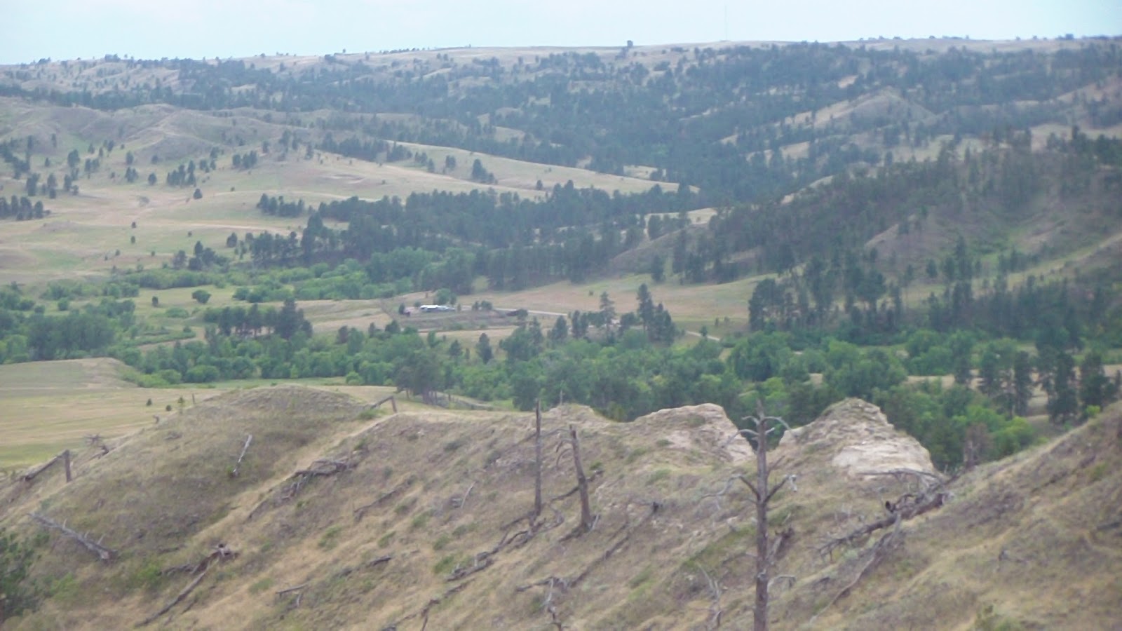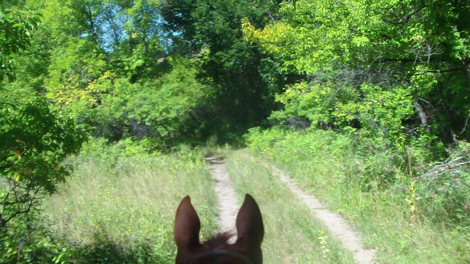
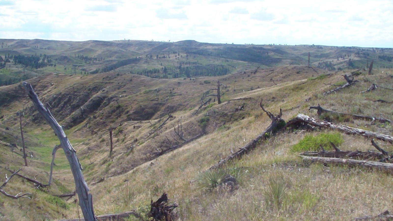
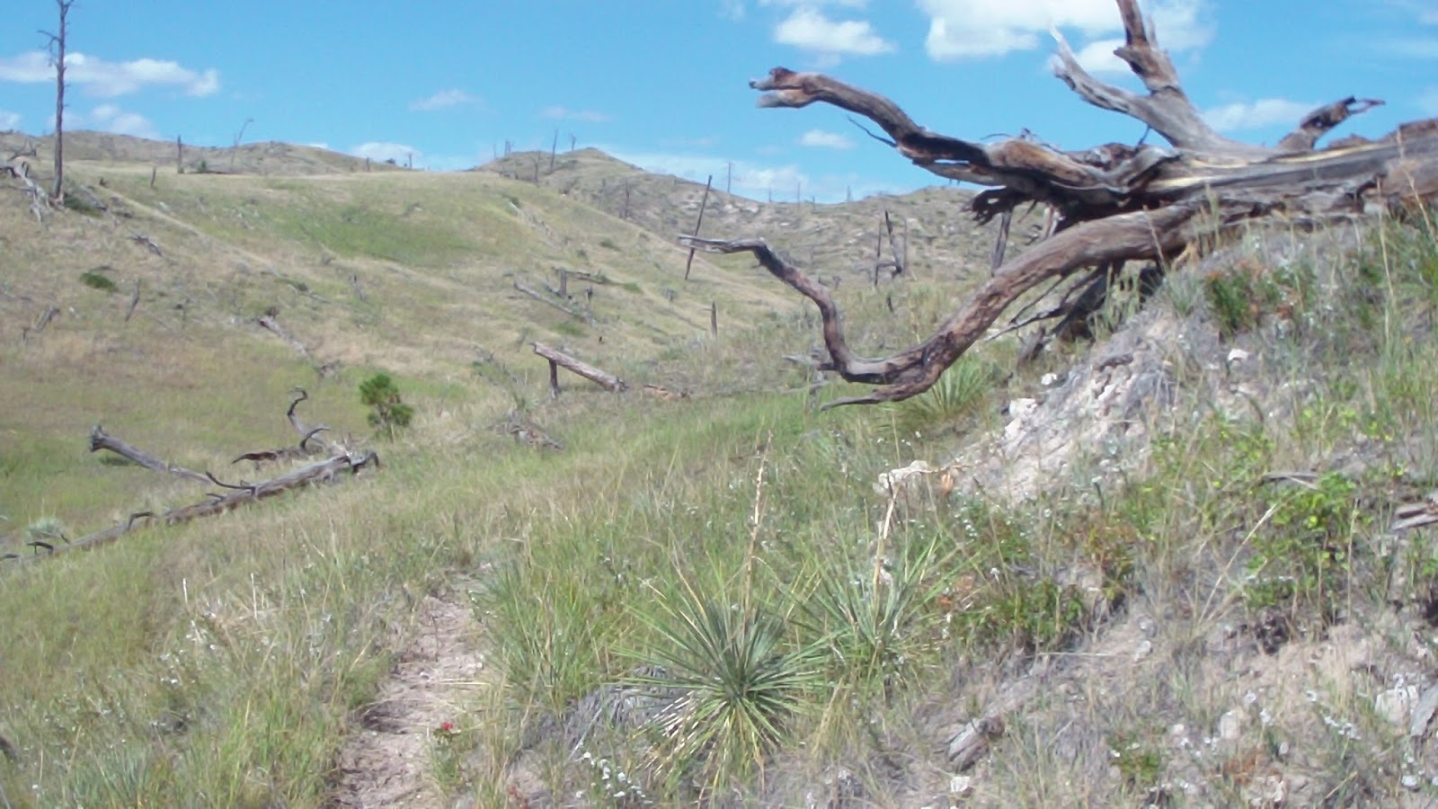
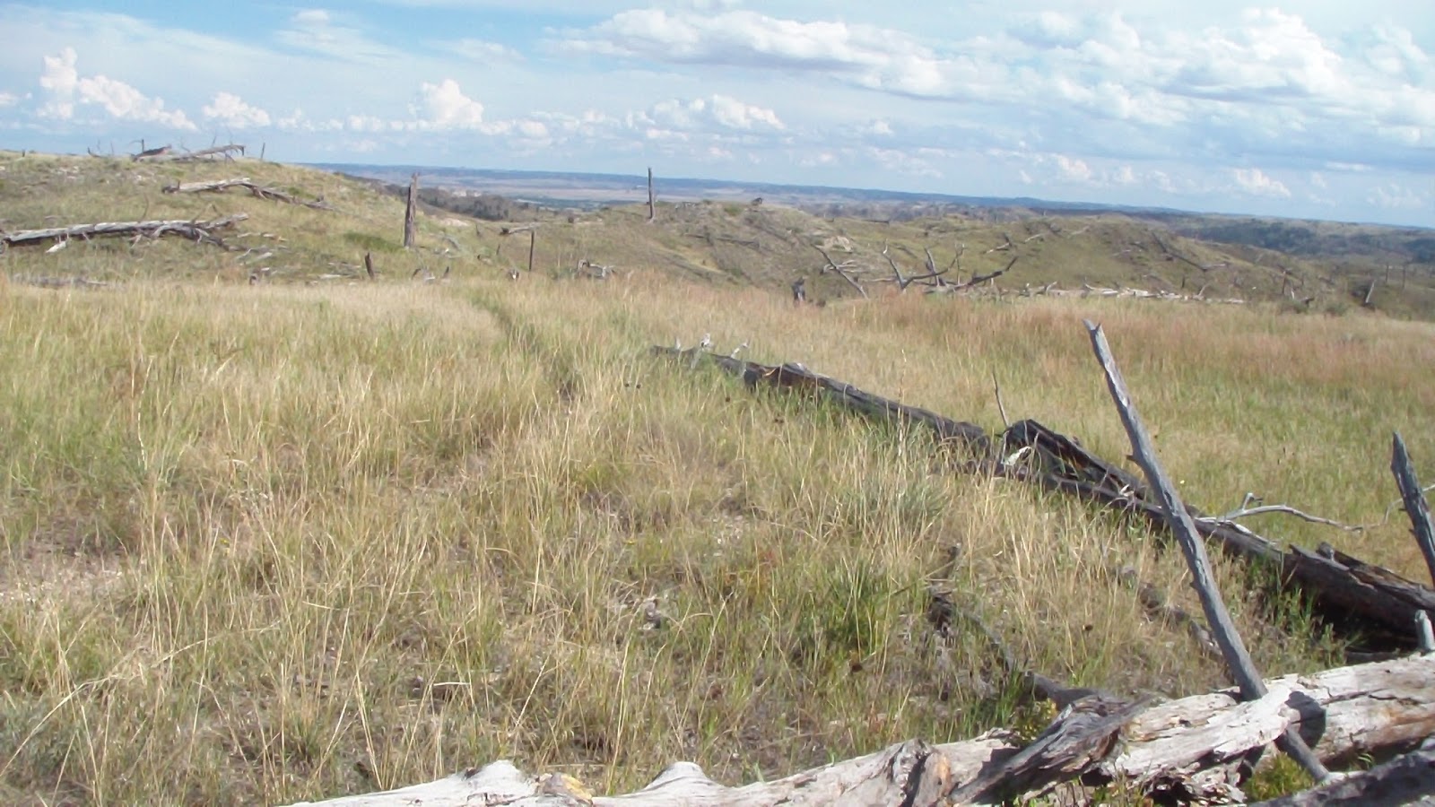
Once again, planned a route on Google Earth and downloaded it to my GPS, and once again, it was so far off from what was on the ground we ended up going WAY in the wrong direction. For starters, the map has the trails on it, but evidently doesn’t bother to include the forest service roads, so when we headed out through the gate on the north end of the campground area, we headed along what we thought was Trooper Trail, but we found out later was an unmapped service road (even though it was obviously the main dirt road through the park). My GPS indicated we should be traveling the same path, only about a quarter mile south. We made several attempts to go south to try to pick it up, only to be stopped by the creek (which we crossed more times than I bothered to count) and a row of bluffs that were impossible to climb. We learned later that in order to find the trailhead of Trooper Trail, we needed to turn south IMMEDIATELY after going through the gate, but there were no visible signs there, of either a trail or of signs pointing to a trail, so we totally missed it. After several false starts, we finally just kept going on the dirt road (after all, the point was to ride, not which trail we rode on, right?) but eventually we passed the west intersection of Boots and Saddles, one of the two main trails here. We turned south on that, thinking it might take us to Trooper Trail, but the trail seemed to peter out, and when we came to a gate, we abandoned it and went back to the main road. We continued west, hoping to run into the original trail I had planned on, but then we came to another gate, and didn’t feel very confident about carrying on any further. Naturally, the road was boring, so we decided to return to the intersection of Boots and Saddles and take the north loop of that back to camp, as that had been an alternative to begin with. We started climbing, and the trail did get a lot more interesting, and was well marked with posts all along the way, weaving around the edges of some serious bluffs, lots of down and dead trees leftover from the fire in ’89, a bit treacherous in a few spots, and longer than we had hoped, but we took a break in a place with spectacular views, of which there were many others, and treated the horses with a couple of apples, taking a nice rest there. Eventually we made it back down to camp, though Hubby’s back was starting to give him trouble on the way down. It seems it’s steep declines that give him the most trouble. We got settled in as quickly as we could, had dinner, invited the ladies next door in for another Bond movie, and had another quiet evening.
Saturday, Sept. 14, 2013 – Ride on (Unintended) Boots and Saddles Trail
Friday, Sept. 13, 2013 – Rainy Day
Had to get up during the night a pull the main awning in a bit because of the wind, even though we had a few bouts of light rain which we were afraid were going to ruin the bale of hay we had put under the awning before I took the truck out yesterday. It didn’t, fortunately, because it didn’t rain that hard, but it looked like it was going to be a rainy, cool, blustery day. We actually slept later than we have in a long, thankfully, then got up and took care of the horses. There’s been some very serious flooding in next door Colorado, and that storm is heading in our direction, so it looks like today is another day we won’t ride. Good time to get caught up on my blog and bookkeeping! Spent some time chatting with our neighbors, two sisters named Fran and Patty who were from Colorado, and so were interested in hearing about the flooding back home. We invited them in to have hot cocoa with us, and later to watch an old James Bond movie, since their horse trailer wasn’t quite as comfy-cozy as our big RV, and they certainly didn’t have any TV. They cuddled up on big dog bed with Billy, and spent the evening with us. A very pleasant end to the day!
Thursday, Sept. 12, 2013 – Hay Day
Made arrangements yesterday to pick up some hay nearby today, and arrived there at 10:00. Was somewhat disappointed to see that the hay was sitting outside, so naturally the whole top layer was gray and useless. A gentleman named Russ, and local farmer, met me there, apparently he’s trying to help the owner of this farm (who was not a farmer, which was evident), and we had a long talk about all kinds of things, an interesting guy. Anyway, there were a few good bales underneath that had a little alfalfa in it, and though I usually don’t go for alfalfa, the rest of the grass was pretty poor, so I figured we needed it for the nutritional value. I only took 8 bales, though, because I thought it might be a bit stalky for Clio, she’s been pretty fussy lately. I gave Russ a check of $4.50/bale, though he said if it was his hay, he wouldn’t charge more than $4, but the owner had said $4.50 to 6.00, so I figured that was fair. Anyway, I soon headed back to town, dropped some mail off at the Post Office, answered some email and stopped at the local grocery story before heading over to Fort Robinson, where I filled up a rain barrel with water. After arriving on Monday, we quickly were down to 2/3 of a tank because we didn’t fully fill it, so I had drained the first barrel into the RV to top it off, leaving us low on horse water, but it didn’t take long at all to fill it up at the campground in Fort Robinson. Then back to camp, though by now it was too late to take a ride (which had been our plan), and we read and did more work during the afternoon, till it was once again time to settle in. At dusk, yet another couple of livestock trailers and a group of younger riders arrived, starting to look like Grand Central out here!
Wednesday, Sept. 11, 2013 – Work Day
Disconnected the truck and ran out the road about 1 1/2 miles until I got a great 3-bar signal, and spent most of the afternoon doing logistics for work. Our next job in DC has been confirmed for October, so flights, hotels, boarding, etc., plus making arrangements to pick up hay tomorrow, were all on my busy agenda. Hubby stayed home and did some chores and read till I returned, then we settled down again for the evening. There were some day riders that came in for a few hours, again surprising us that this is turning out to be quite a busier place than we thought it would be!
Tuesday, Sept. 10, 2013 – Ride Day at Soldiers Creek, NE (Our 45th State!)
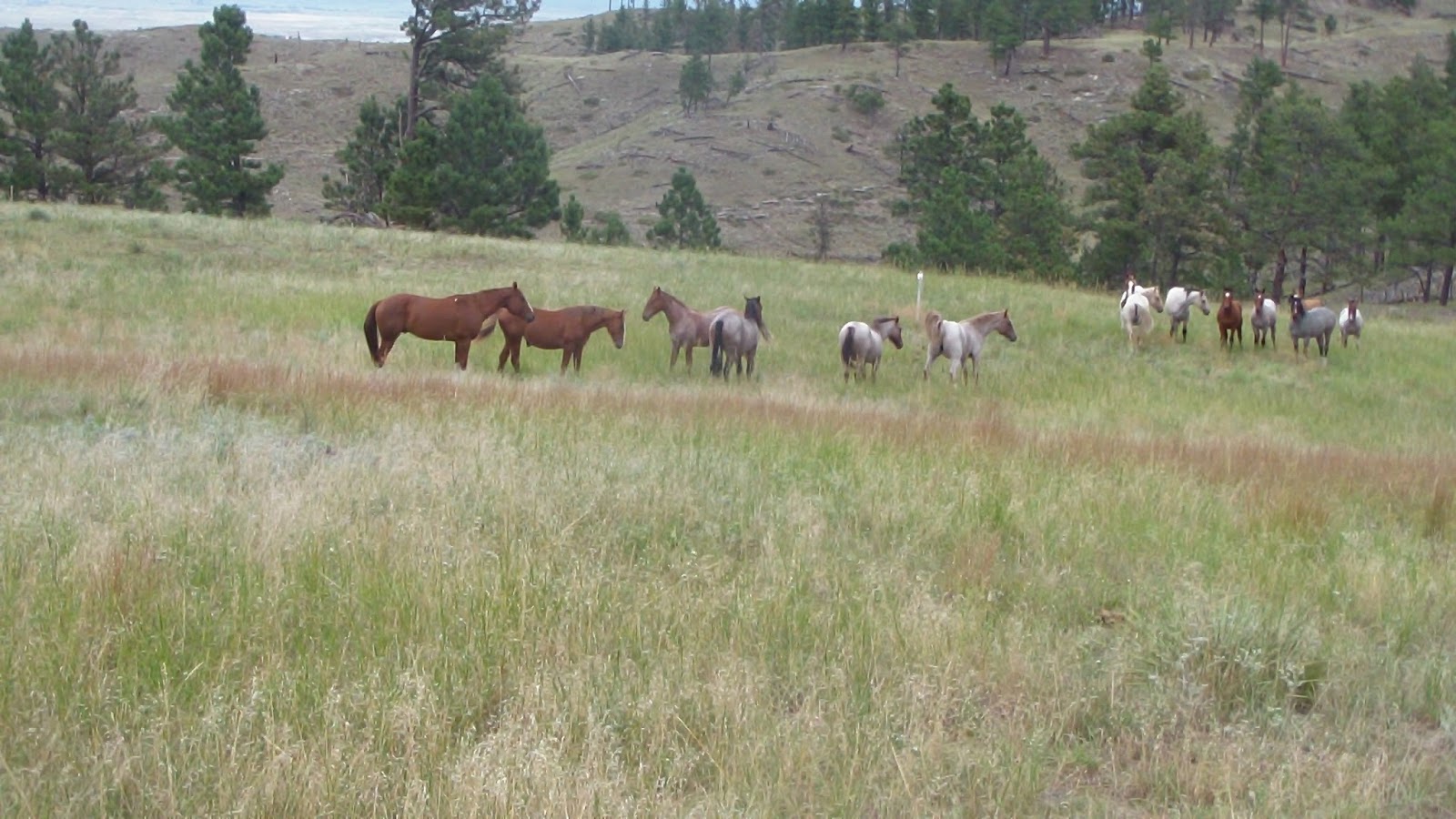
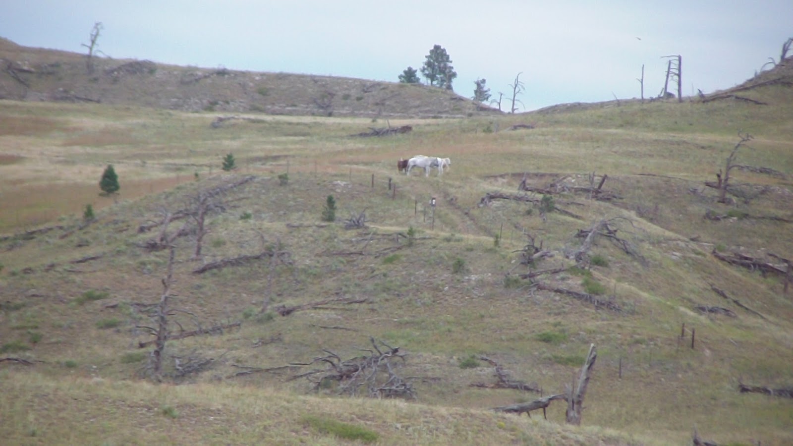
If you ever want to come someplace where you truly feel like you’re all alone in the wilderness, this is the place! From this campground, you can’t see a single structure other than the two vault toilets and the corrals, for as far as the eye can see! I even got out the binoculars and could just barely make out some kind of farm many miles away, not viewable with the naked eye. It was so quiet last night, it was hard to get used to after being in so many places where you could hear traffic noise, or tourists driving by. No one would ever come out here by accident, not subjecting themselves to 6 miles of bad road to get here, that’s for sure! After a leisurely breakfast, we saddled up the horses and headed out on what I had planned to be a short, five mile or so loop around the western part of Ft. Robinson State Park. We crossed the water crossing and started heading up through the grasslands, until we reached a gate. According to my GPS (which was a map based on the printed map from the BLM), if we went through the gate, we’d be going in the wrong direction, even though that’s the way the white trail markers went. Instead, we followed a fenceline that seemed to take us in the right direction, but soon my GPS was showing we were going way off track. Instead of turning around, we decided to continue along the fenceline until it met up with the back half of the loop, then follow it backwards. At least then we wouldn’t have to follow the road at the end of the trip, which was our original plan. When we reached the intersection, we saw the trail clearly straight in front of us (though, it turned out that we should have headed left at a lesser marked intersection) and climbed up a long grade to the top of the bluff, where we were met with some simply spectacular views! All 360 degrees around us were incredible, the kind of view that just can’t be done justice by a few pictures or a verbal description. Absolutely stunning! We continue to follow along the well-marked trail for a while, passing several markers laying on the ground, but it seemed to be heading along just fine. Then we came to a place where there was a picnic table and what looked like a collapsed shelter, and just beyond that, we came across a small herd of more than a dozen horses! I doubt they were wild, someone likely just had them grazing out there, but they were definitely related to each other, and they were beautiful! Several red roans with gorgeous faces, a couple of rare blue roans, some grays and whites, and two sorrels, one that looked a lot like my Apollo, though with a larger blaze than his perfect diamond. Well naturally, my guy got a bit excited by that, and we had a few scary moments while we tried to pass them, though they were planted right at a marker, but we saw the next marker and made a beeline there. Curious, the horses kind of followed us, which made my guy more antsy, but eventually we got around them to where the next marker was. That led to a gate, which was next to a pasture with some cows in it. After just one short startled moment when he spotted the cows, Apollo was very good about ignoring them, for which I was grateful. Quite a change from just a few months ago! Well, after all, we’ve conquered buffalo in the wild, right? What’s a couple of cows anymore? We went through the gate, and after a short bit, I checked my GPS, which confirmed what I had already suspected, we were going WAY off track, in exactly the opposite direction we needed to go to get back to camp. The problem here is that there are no markers except white diamonds, and white diamonds are used on EVERY trail! So, unfortunately, we had to turn around, deal with the gate, the cows and the horses once again, past the picnic table, until just beyond that we came to a marker that was on the ground. We had seen it before, but what we hadn’t seen was that in addition to the marker that was directly in front of us (and the one we followed), there was an additional marker to our sharp left (which was now almost directly in front of us on the return.) So we got back on track there, and followed that trail, which fortunately at least was in the same general vicinity as the GPS said it would be. This trail basically followed the ridgeline, so the views were universally spectacular, with every curve providing another view of distant horizons. We could even see what looked like the Black Hills from here! Fantastic! Another mile or so on and we ran into yet ANOTHER small herd of horses, mostly white and gray, a couple of which were huge draft horses, and a burro with paint coloring, which I’d never seen before. Of course, they were right in the middle of the trail, and we did our best to skirt them, and managed to get by with only one scary moment when Apollo had the urge to back himself toward the group, which I saw as an invitation to a kicking match, but I managed to get him out of there before any excitement began. The rest of the trip was uneventful, though there were a few rather steep rocky sections coming down that way. For the most part, we probably didn’t need boots, but for those areas where we did, we were very glad to have them. Got back to camp and got everyone settled, then anxiously downloaded my GPS info onto my computer, since this seemed to be a classic case of what the maps says and what’s on the ground as completely different from each other. It turned out that our 5 mile trip ended up being 8.25 miles, and less than half of it was on trails that I had designated as our path. I learned that we missed one intersection completely, and that the GPS trail made from the hard copy map didn’t seem to have much in common. I can’t say I was too surprised, because when I tried to line up the overlay on Google Earth, it didn’t seem to match up very well, even on the highly visible landmarks like roads! Well, still, it was a great ride, we saw fabulous views, everyone got home safe and sound, and ultimately, that’s the important thing. Not long after getting back, another horse trailer pulled in next to us, surprising us a bit, as we were beginning to think we were alone in the universe out here! Two sisters, maybe my age or a little older, set up camp, corralled their horses, and settled in along side us. I visited with Pat and Fran and their mother’s dog Hoot for a while, though for some reason, Hoot kept growling at my guys, who were behaving beautifully. Usually it’s Billy that starts growling, but this time he let the other dog do it, and he just kept making the rounds, getting lots of attention from the ladies. Eventually we settled down for the night, having now ridden in our 45th State!
Monday, Sept. 9, 2013 – Travel Day to Soldiers Creek, NE
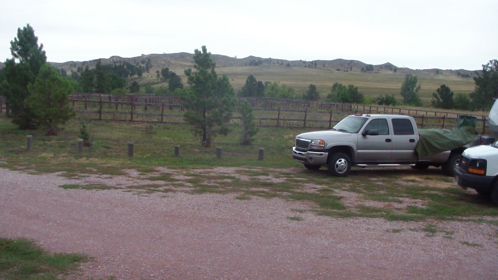
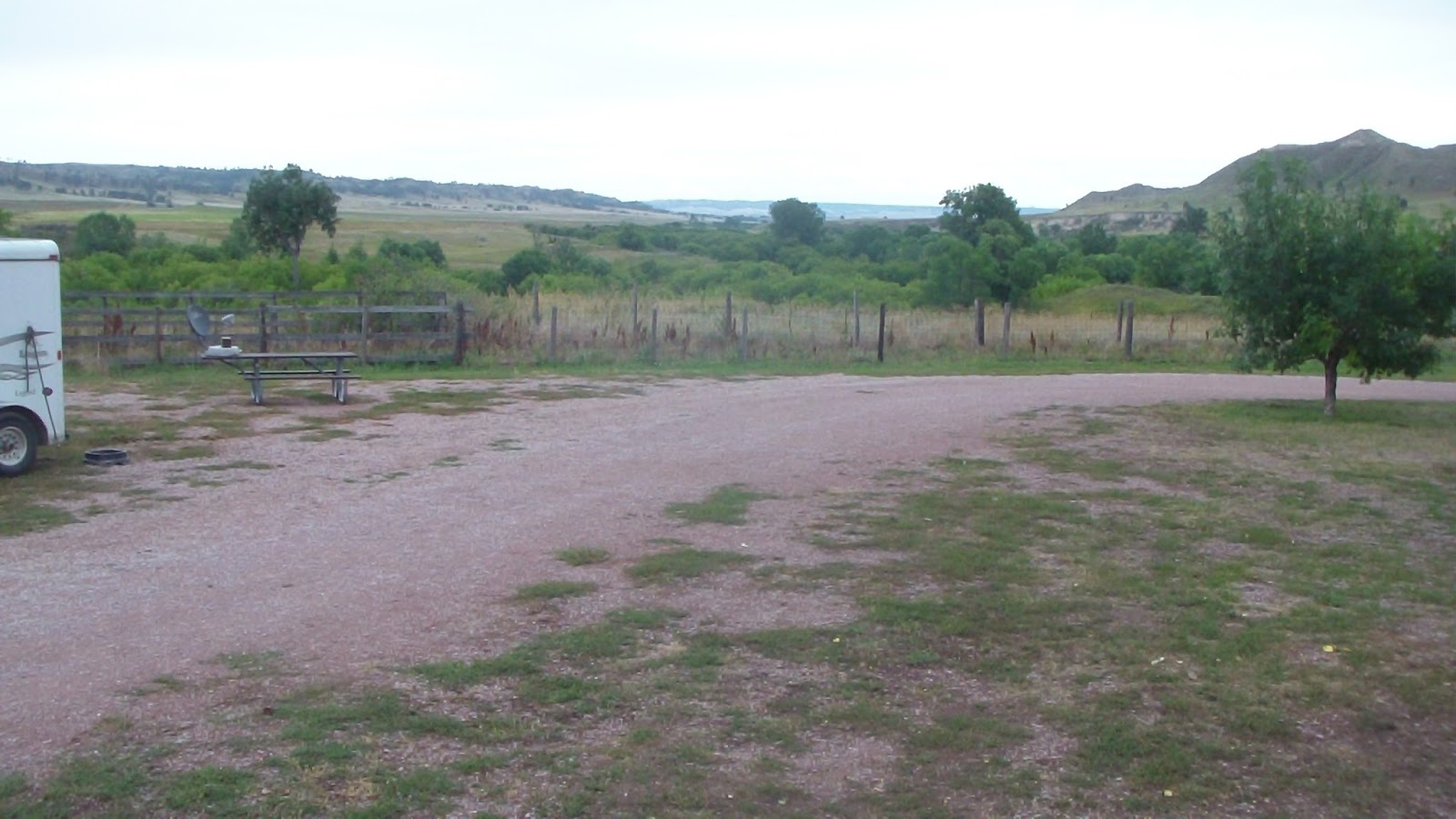
Set the alarm early, as we wanted to get out as fast as possible in order to do our utmost to avoid the heat. Since I haven’t had a cell phone signal and consequently, no internet connection, we hadn’t seen a recent forecast for the area. Last we heard there was about a 30% chance of rain (and we did have a good gullywasher yesterday evening!), and we did, indeed, have cloudy skies this morning. Got packed up and out of there in just over an hour, headed back out to Route 79, then south, looking for someplace for breakfast. We didn’t find one until we got all the way to Chadron, NE, where we were heading for the Walmart anyway! Went to the Country Kitchen for a very nice breakfast before doing our shopping (never a good idea to go shopping on an empty stomach!) then headed for Crawford where we stopped for gas and water, then on to Fort Robinson. Missed the turn for some reason, then while heading down a lovely tree-lined street, I moved a bit right to make way for an oncoming horse trailer, and didn’t realize the trees overhung the street so much, and a limb clipped the digital TV antenna. Hubby radioed to me to stop so he could pick it up, and we then continued on to Soldiers Creek Road, which, for the first few miles, was the roughest bit of washboard road we’ve experienced in a LONG time, maybe EVER! It actually improved slightly once we got past the road to a lake, but it was still six miles of pretty bad road. As we reached the edge of the wilderness, we had to make a fully concreted water crossing, then up a hill to the “campground,” which is little more than a couple of vault toilets and a turnaround, and a whole bunch of cattle pens which were obviously part of the previous owner’s business. Not really suitable for horses, though evidently one oblong corral has been getting some use, so I guess we’ll put the horses in there for the night. I walked them down to the creek for water after struggling with the hand pump for a few minutes, then put them out on their anchors. A rainstorm came in while we were setting up the satellite dish, so we took a break till after it stopped again. Meanwhile, I put out all the containers to catch all the rain coming out of the gutter, since water is going to be a challenge here. Finally got everyone and everything settled in for the night.
Sunday, Sept. 8, 2013 – Another Rest Day
Other than handwashing some laundry and putting them on a line, and doing a bit of prep work for our departure tomorrow, today was a repeat of yesterday, with less traffic (almost no traffic today). I finished a book and recorded some movies of the DVR, watched a little football, and otherwise spent the day quietly in this nearly heavenly place!
Saturday, Sept. 7, 2013 – Fabulously Quiet
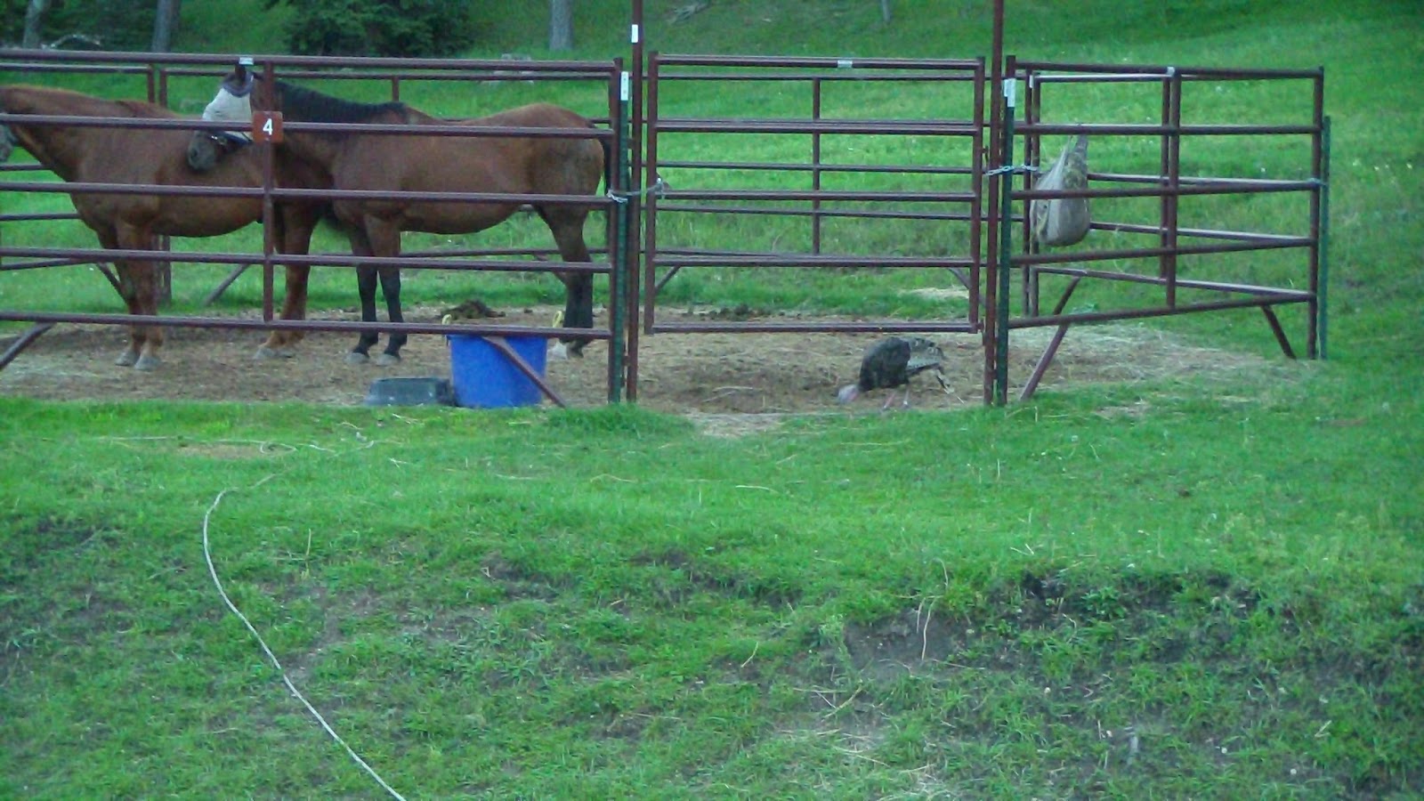
Spent another day simply relaxing and enjoying the quiet here. A few cars drove around the loop, but no one stopped except George, the camp host who collected the required fees from us. Otherwise, the horses grazed (though they had a few wild turkeys visit them), the dogs explored and slept, and we read and watched TV, all of which improved Hubby’s back tremendously.
Friday, Sept. 6, 2013 – Travel Day Back to Iron Creek
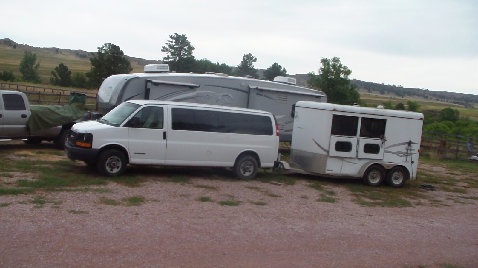
So, for the THIRD time this journey, we went back to someplace we had recently left, this time finding a route that was EASY compared to every other one we’ve taken (79 to 36 to 87), with brief stops at Tractor Supply and Flying J for breakfast and diesel, then a straight shot to the campground. This time, we had the place entirely to ourselves! After looking at all the possible parking options, we ended up in the same slot as before, as we could get a satellite signal from here, unlike most of the other sites. We put the horses on their anchors and let them have the run of the place, and let the dogs run around as well. We were set up in no time, which always seems to be the way it is when we go back to a place we’ve been before, no logistical problems to solve. When we were in Rapid City, the temps were in the high 80’s, by the time we got into the Black Hills at noon, it had dropped to about 80. Then, about an hour after we finished setting up, a terrific rainstorm came in, dropping the temps another 8-10 degrees! I managed to get some buckets and one of the rain barrels out in time to catch a lot of rain, so now we don’t need to worry about taking the horses down to the trough, we have enough between the rain and the horse trailer tank, which we filled before we left Fort Meade. Spent the afternoon easy and relaxing, one of the few travel days lately that went according to plan!
Thursday, Sept. 5 – Decision Day
Woke up early again, the sounds from the freeway in the pre-dawn hours is the only drawback to this place, just can’t sleep through it once the traffic picks up. After breakfast, Hubby ran down to pick up gas while I continued to do some office work. I also called the BLM, and was told that, Yes, the Air Force had reserved the entire campground, as well as the regular campground next door, and yes, we would have to leave on Friday. At first we thought we would head straight to Nebraska, but the weather forecast had been getting hotter and hotter all week, with temps predicted in the high 90’s all weekend, with the worst being on our travel day. After a little research, I made another proposal, to return to Iron Creek for the weekend. The temps were a good 10 degrees cooler on Friday, with mid-80’s on Saturday, and a high of just 78 on Sunday. By Monday, the highs in Nebraska were predicted to be just 85, so that would make it a decent travel day, and the rest of the week would be the same. Hubby agreed that staying cool was a priority, so that was the plan we made. I double-checked with the Forest Service that Iron Creek was still going to be open (the concessionaire stays until Monday, then apparently the state takes over), and finished everything on the computer I could, since the signal down at Iron Creek wouldn’t be as good. Of course, with it being the weekend, it wouldn’t matter much. That decision made, we spent the day as usual, grateful to be in the shade as the temps soared.