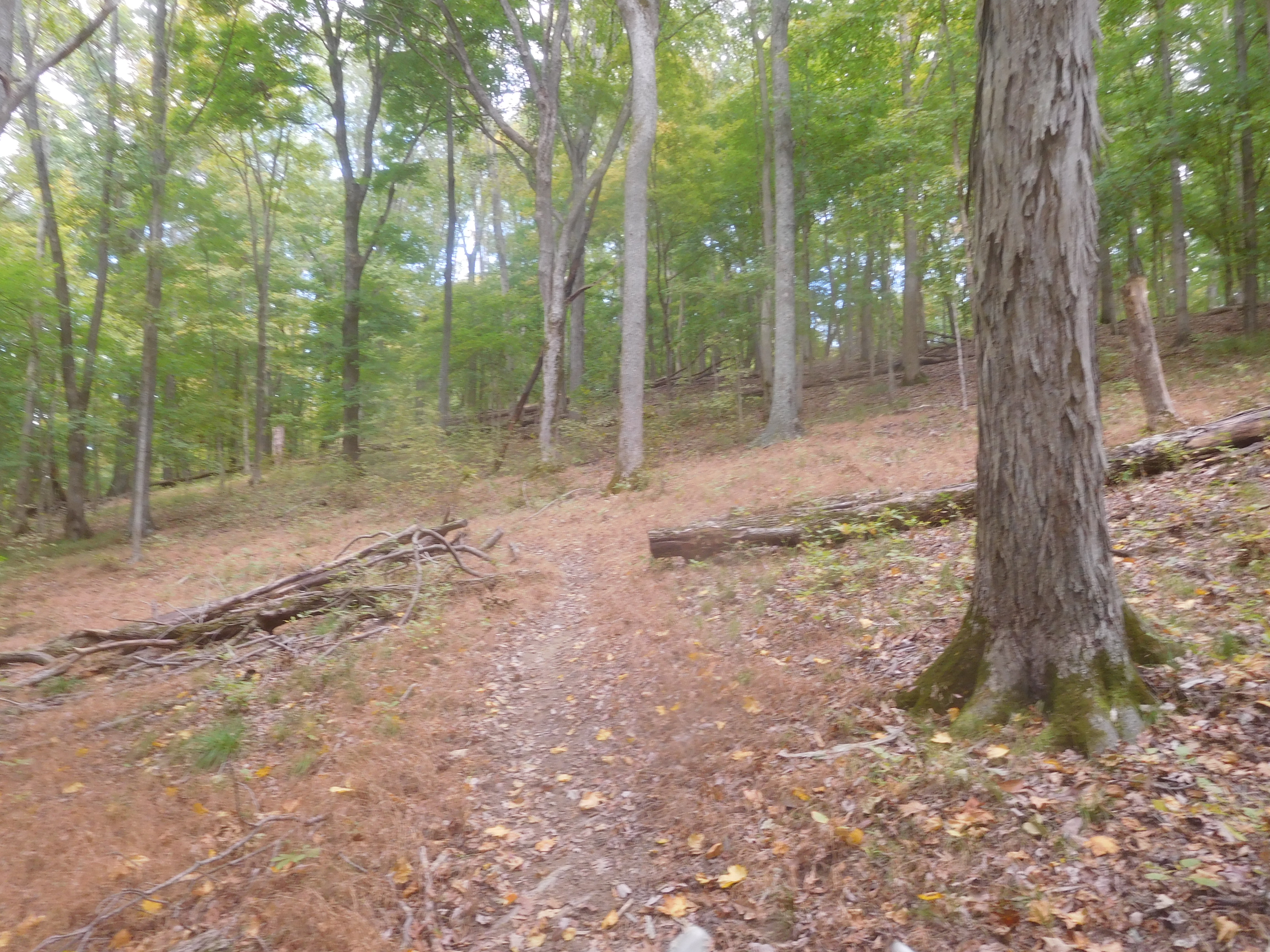
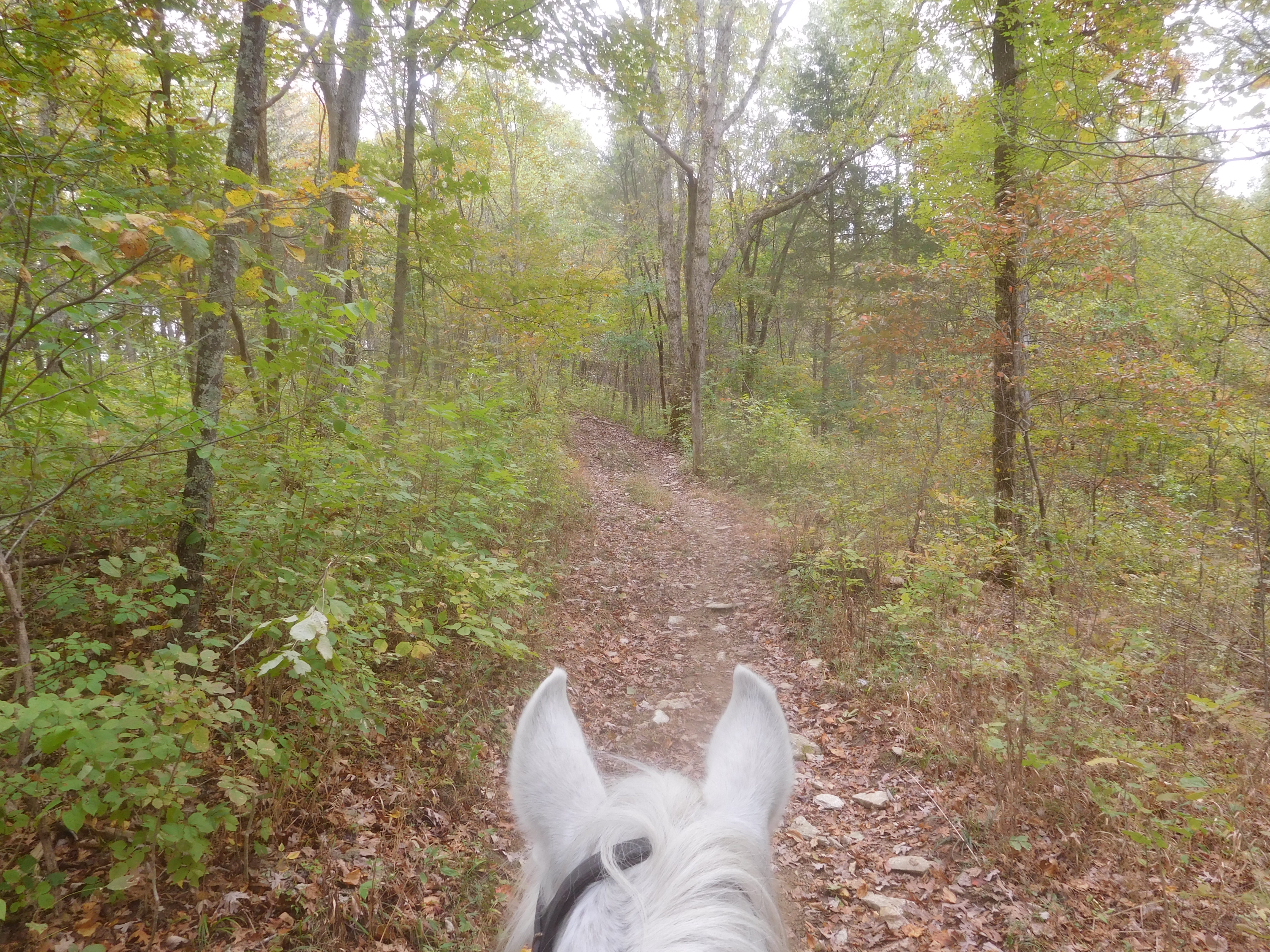
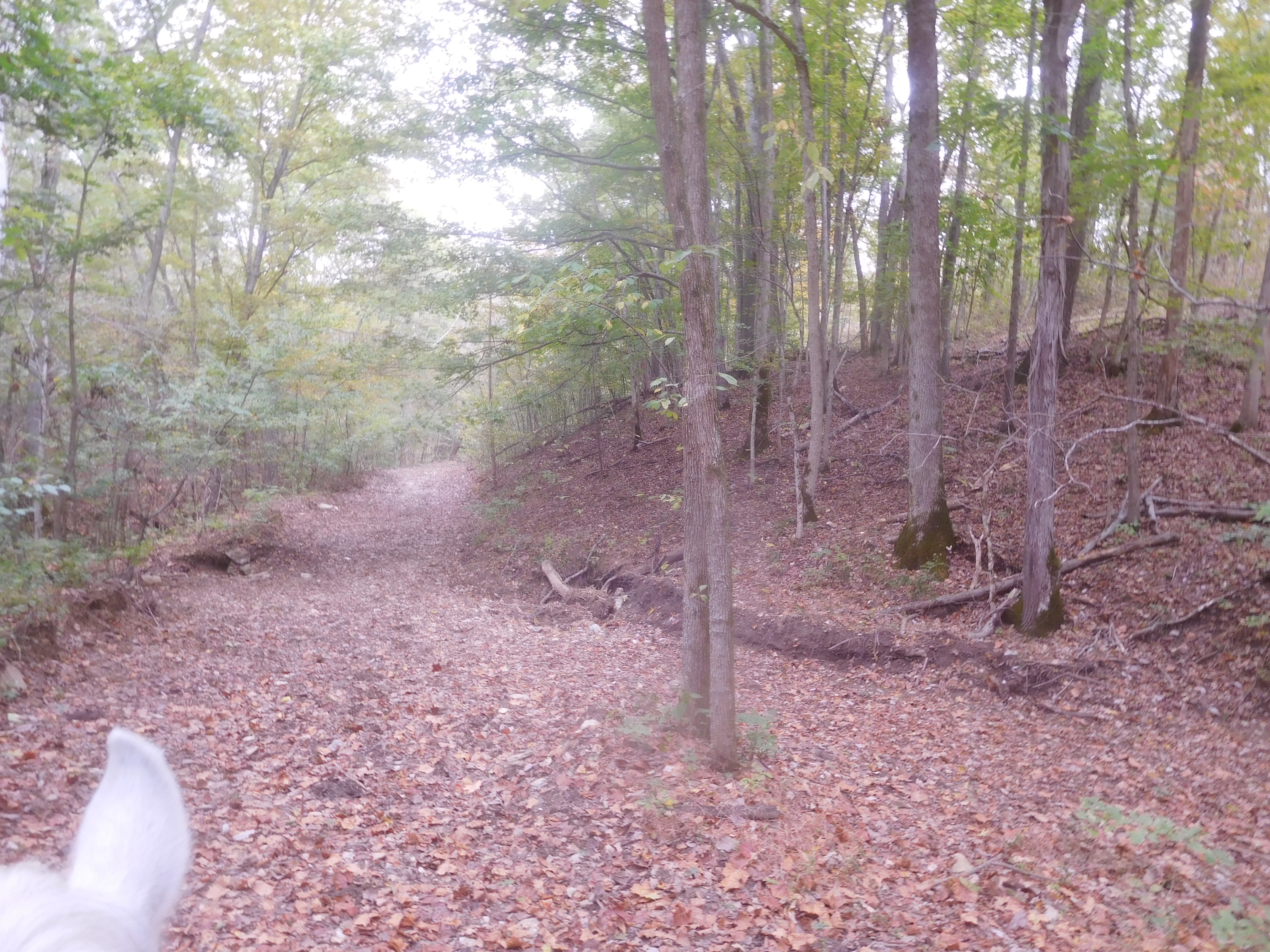
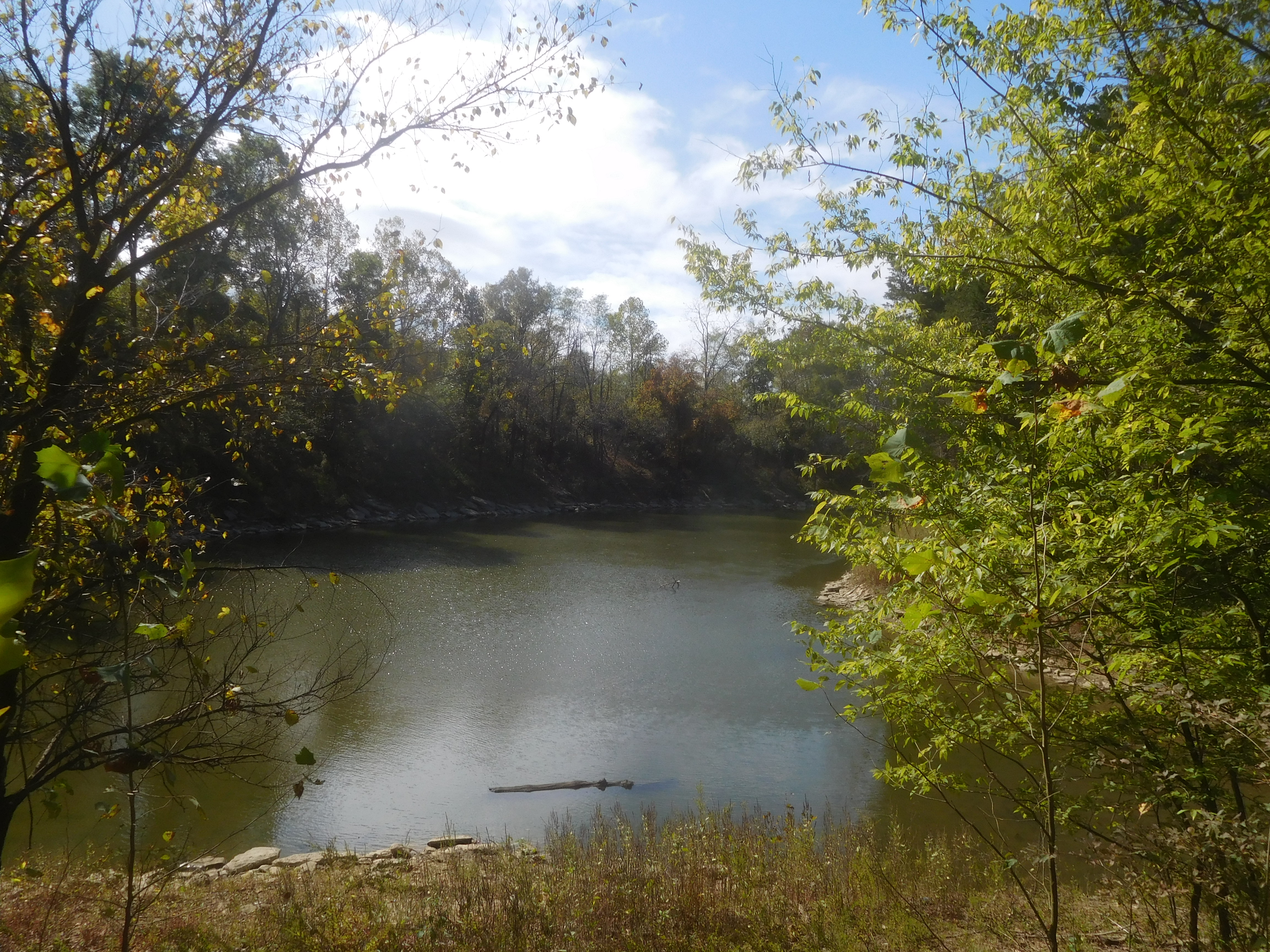
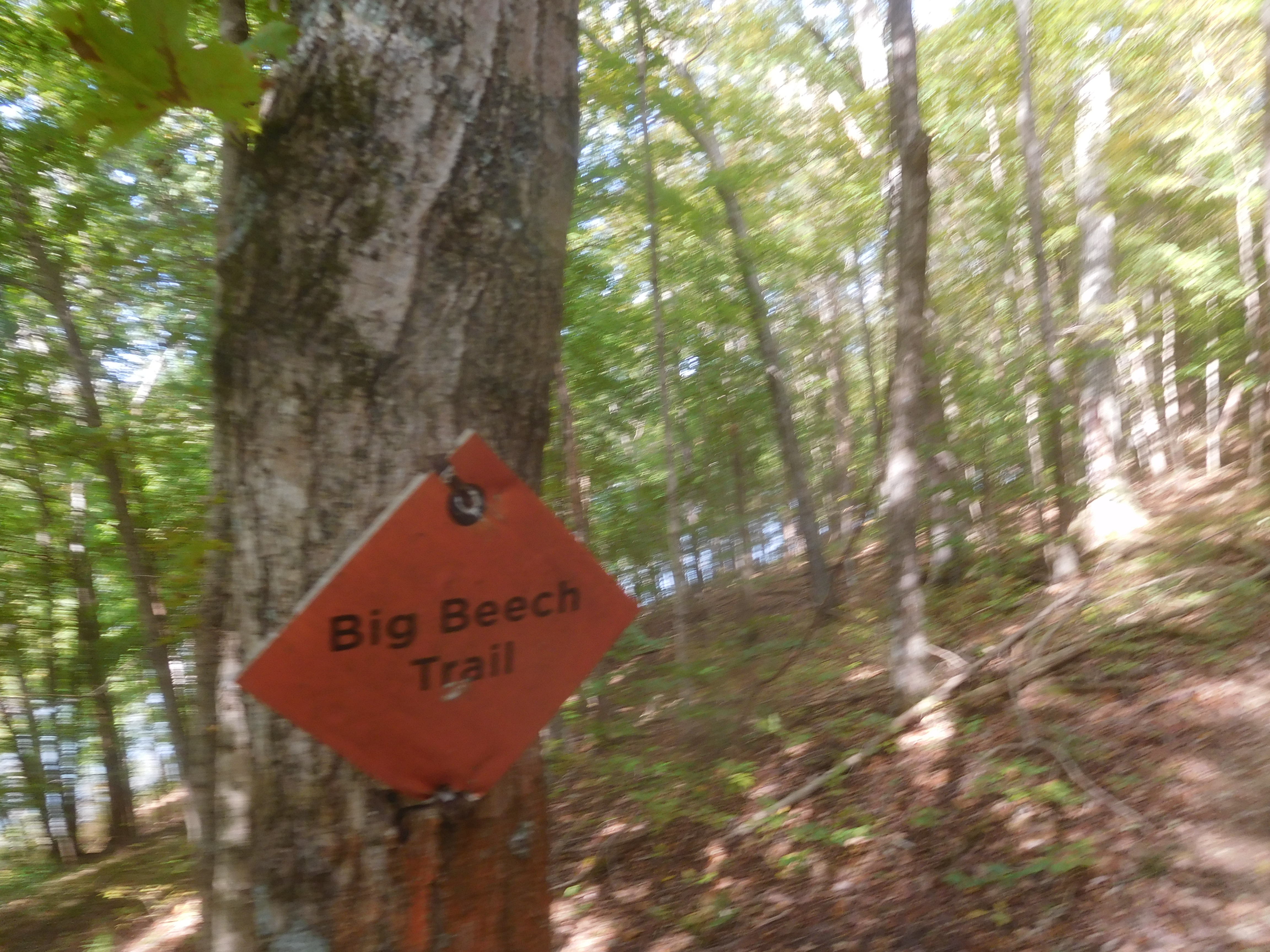
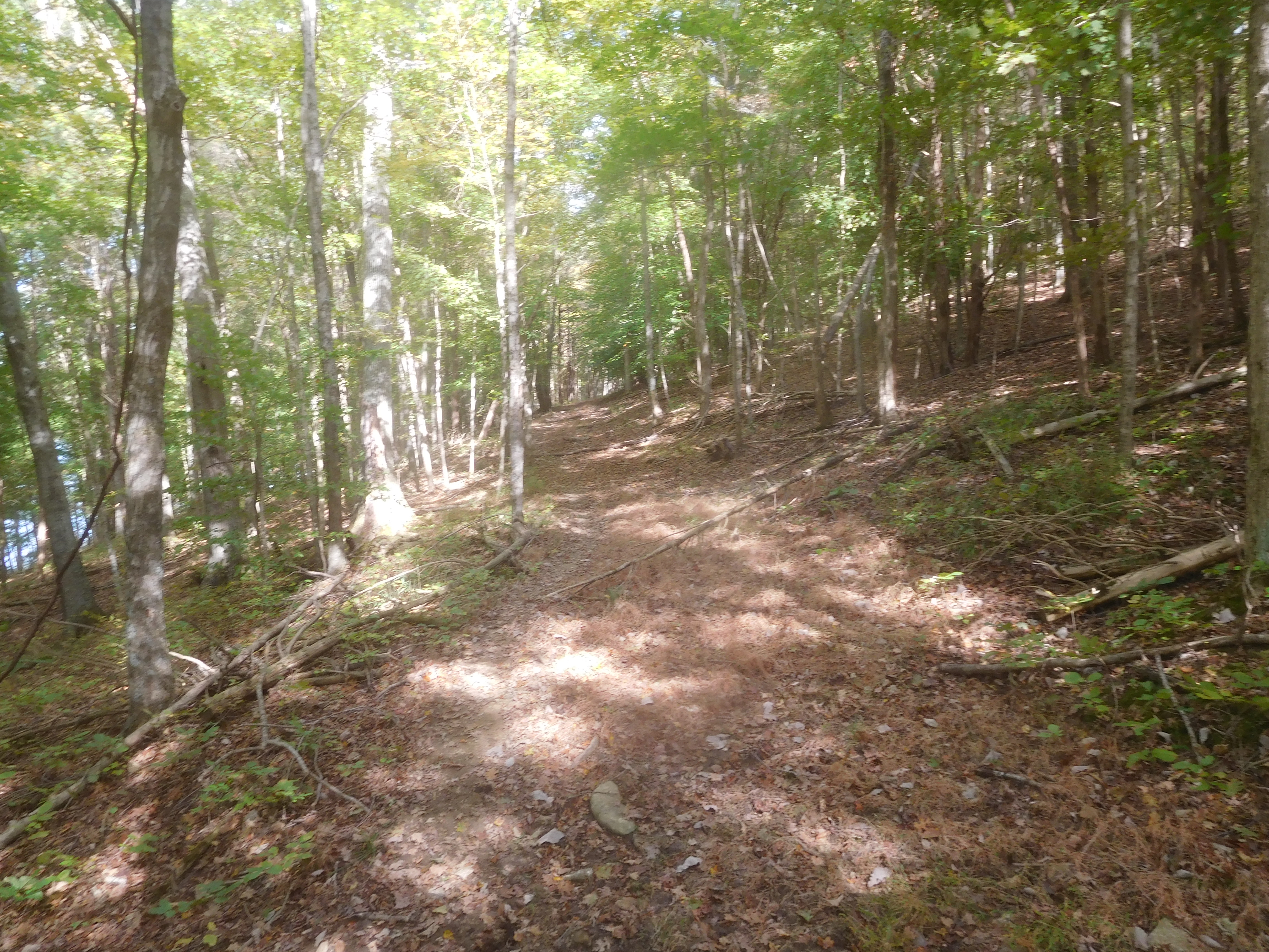
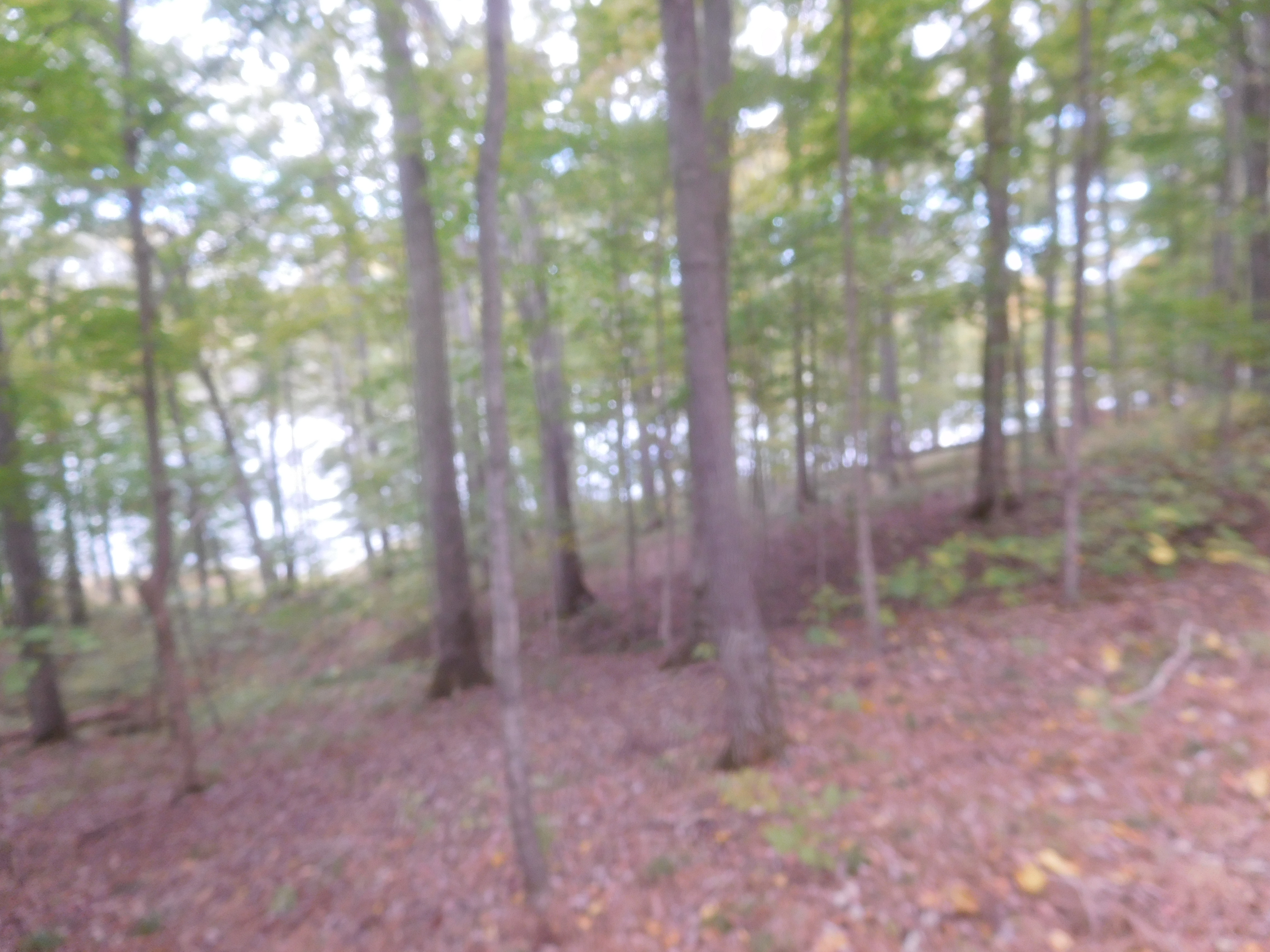
Well, after a rather confusing start on my last trail ride, which I managed to decipher a bit once I downloaded it and overlaid it on Google Earth, I realized I had covered much of the southern side of the park, so today I decided to do the eastern and northern parts of the park as much as possible. Saddled up Flash and headed out on the trailhead at the north end of the park, which took me toward the day parking area. From there I went down what the map called the Lazy Creek Crossing Trail, and showed as a loop, but once I got to what I guess what the Lazy Creek, the trail entered Snyder Hollow and disappeared. Some trees were down, but it still didn't look like there was any trail beyond that, so we turned around and circled around until I finally ran out of places to go, so I headed back to Possum Ridge where it runs along the south side of the park road and took that due west, hoping to find the part of Lake View trail that went out into the farthest west peninsula. Unfortunately, that eluded me again, but I did find where it crossed the road to the northern side of the park. On the map it shows several different trails of various names, but the only obvious trail I found had "Big Beech Trail" signs all along it. Near as I could figure once I got home and download our route was the Big Beech is known as Piney Woods on the map. Go figure. There have been so many times where the map and what's on the ground aren't very close, and this was a classic example. So not only is the map hand-drawn and inaccurate as to where the trails are, the names have been changed in many cases. Oh, well, it was a pretty nice trail, a bit in need of maintenance but overall not bad, single track through most of it. It eventually wound around back to the same trailhead where I started, completing another 8.5+ mile ride on Flash. Did some chores and other various and sundry things before settling down for the evening. Another great day on the road.
Speak Your Mind