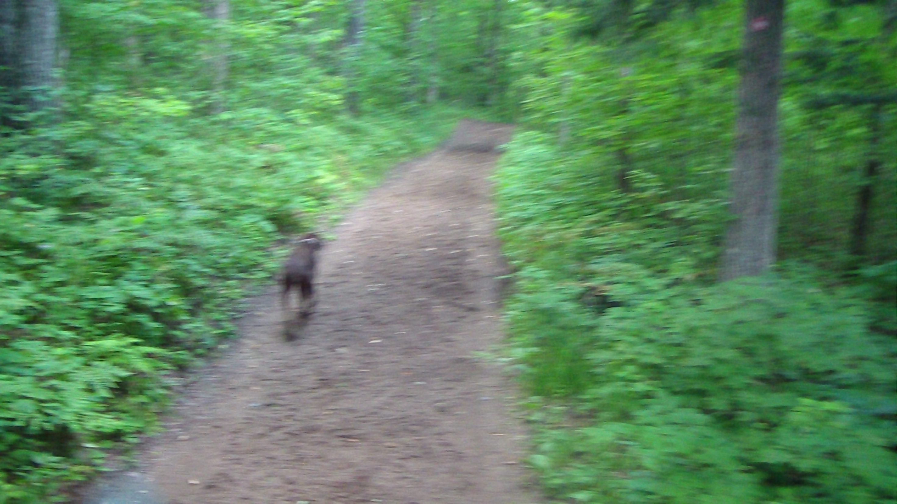
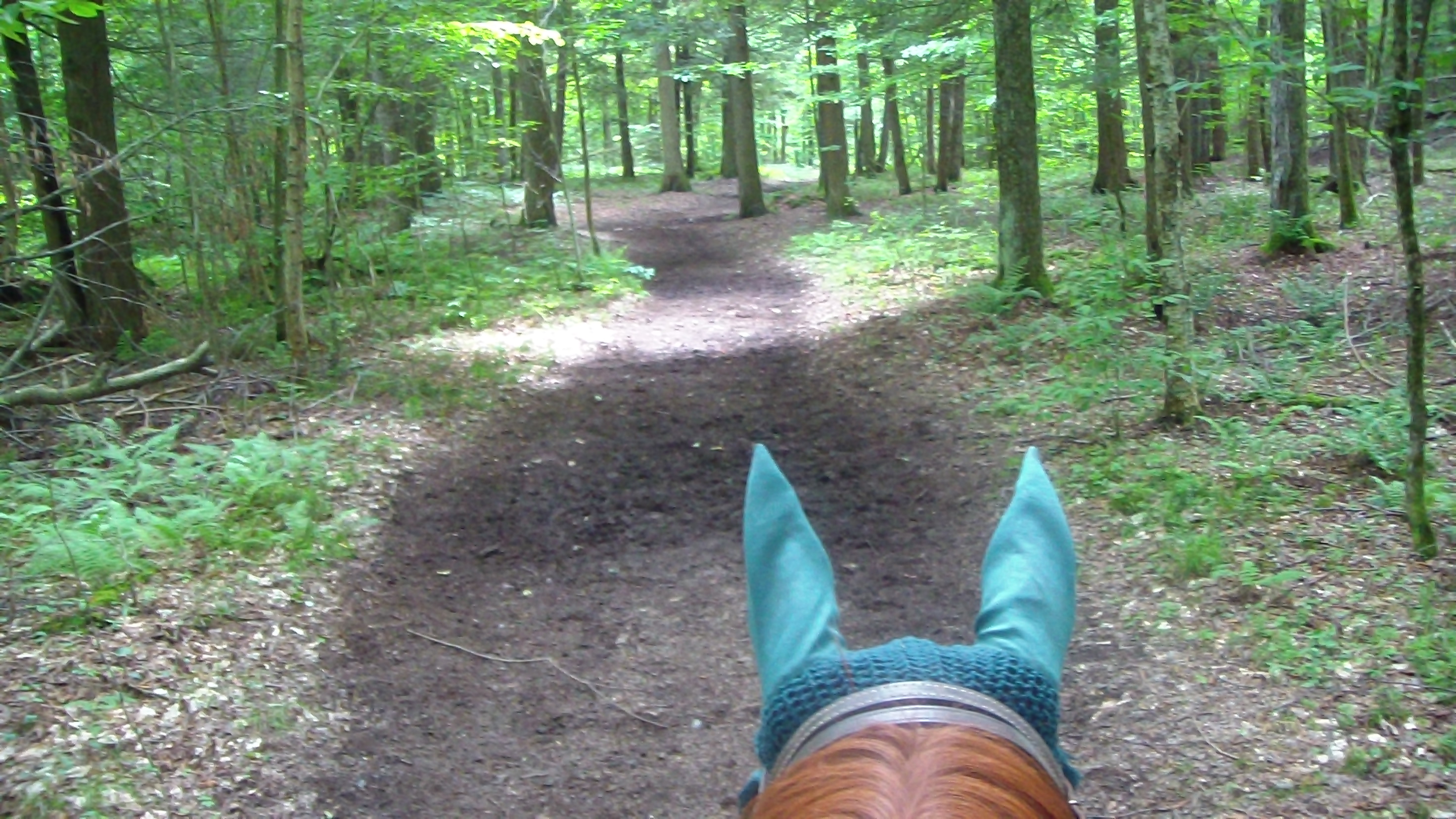

After breakfast, and saying our goodbyes to Marsha and Nate, we decided to take a short ride today. Upon careful examination of Apollo the last few days, his back seems to be in very good shape, no flinching at all. He has a thin scab that's already starting to pull off, but I decided that it would be worthwhile doing a short ride just to check him out. He was fine when I put the saddle on, and equally fine when I climbed aboard, so off we went down Twin Ponds to Confusion Flats, south to Hiawatha, west again back to the camp, just under 4 miles, and a little over an hour. We even tried some trotting and cantering, all the while paying close attention to Apollo's behavior, and he passed all tests with flying colors! Whew! That could have been so much worse! Meanwhile, it was another beautiful day, once again refuting the forecast which had about a 40% chance of rain, but the sky was clear, though it was a bit hotter and more humid today than it has been since we've been here. It was a great ride, very happy to be in my saddle on my own horse (though he did seem a lot slower than Brandy :-), especially with Hubby and super slow Clio behind. Back to normal, anyway! After we got back, I chatted with the neighbors, a Scotsman named John and his wife and another friend. Then the only other two neighbors left in the camp came along, and we were talking maps for a while, until the new neighbor declared she had the best map of all, and after a quick trip to her trailer, came back with a T-shirt with a complete map on both sides! Upside down on the front, for the wearer's benefit! First map I'd seen that had most of the renegade trails, signs for waterfalls, swimming, restaurants, and every other attraction you could think of! I asked it I could try to scan it so I could make a map for us, and she agreed. I spent the next hour or two accomplishing that goal, until I finally had a one-page map that was quite legible. I kept a copy for myself and gave one to John's group, which they seemed to appreciate. I asked a bit more about the route to Trailside restaurant, and Mark, another regular, told me about another renegade trail (which wasn't even on the new map!) that would save us 45 minutes, but would add another creek crossing. I ended up going back after dinner and spending the evening chatting with them, though I couldn't persuade Hubby to join me. Weather seems to be dictating that tomorrow will be the best day to ride to Trailside, fingers crossed!
Speak Your Mind