Monday, May 28, 2012 – Fantastic Ride Around the Garden of the Gods

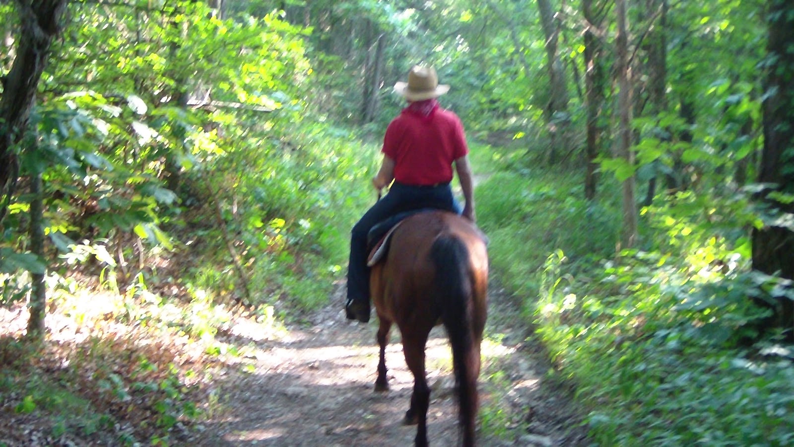
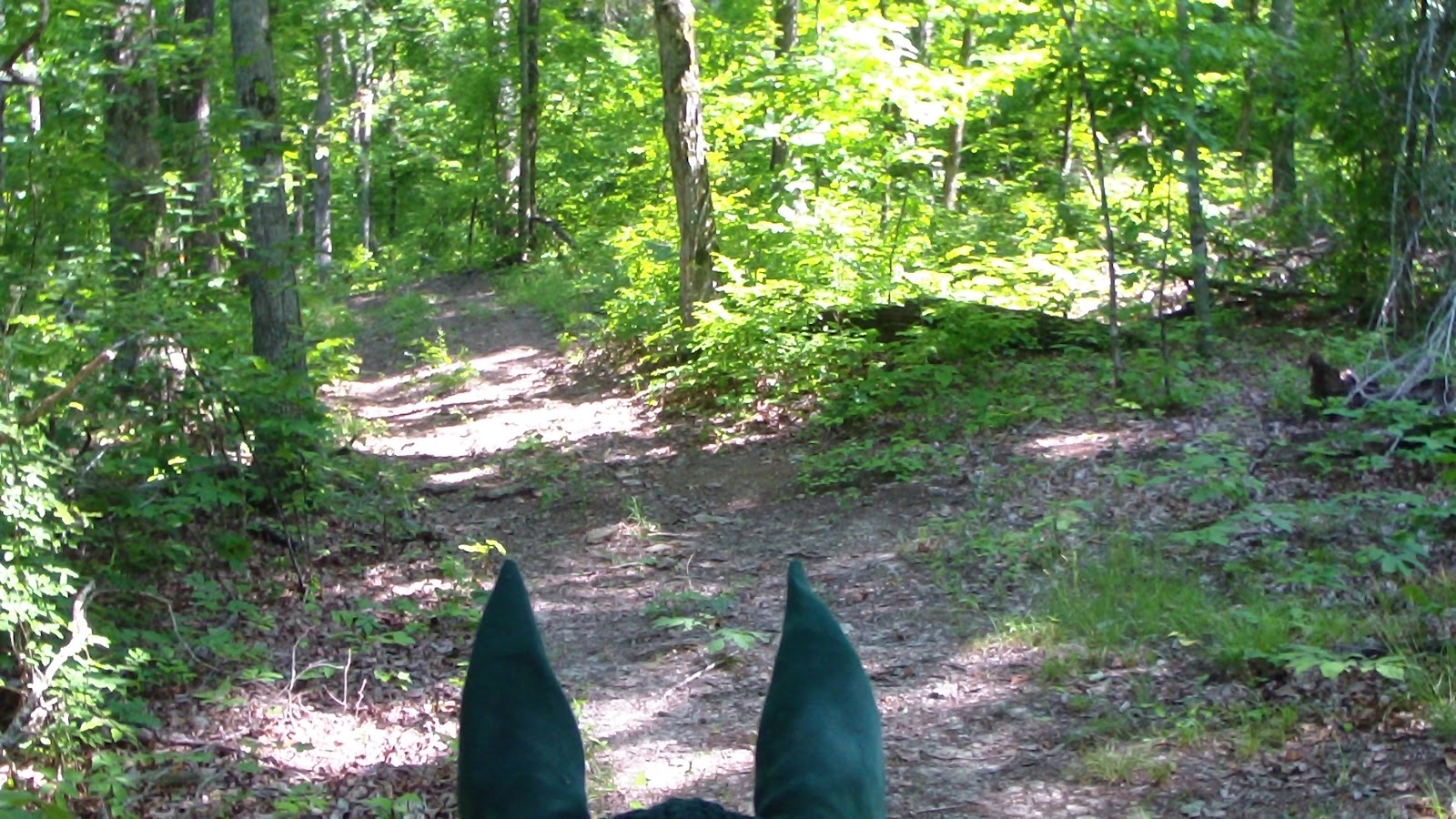
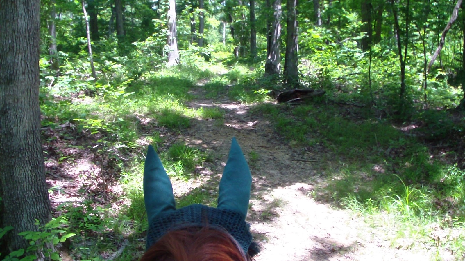
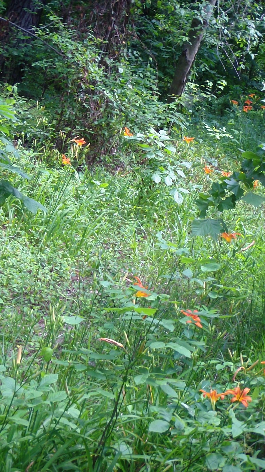
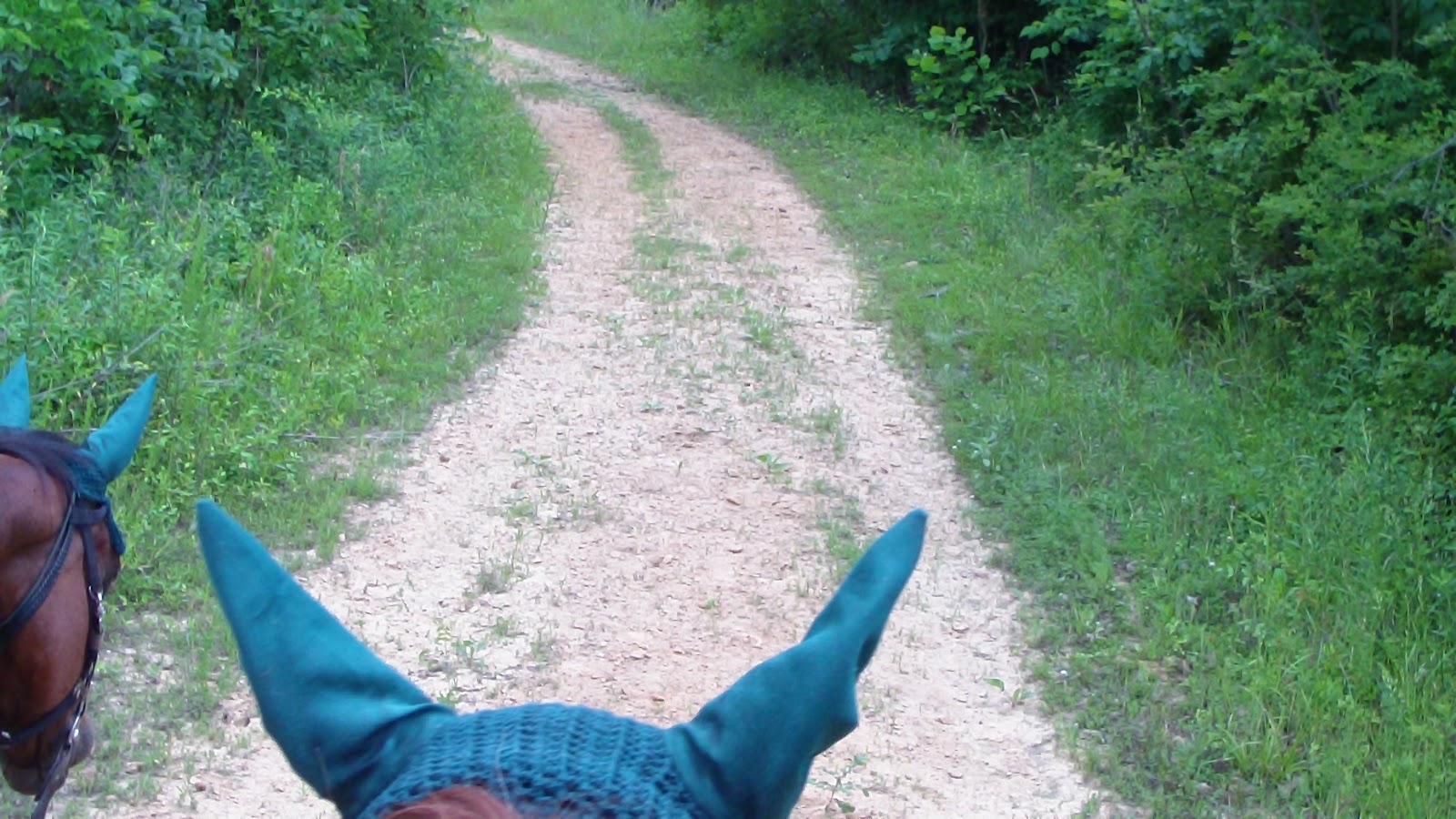
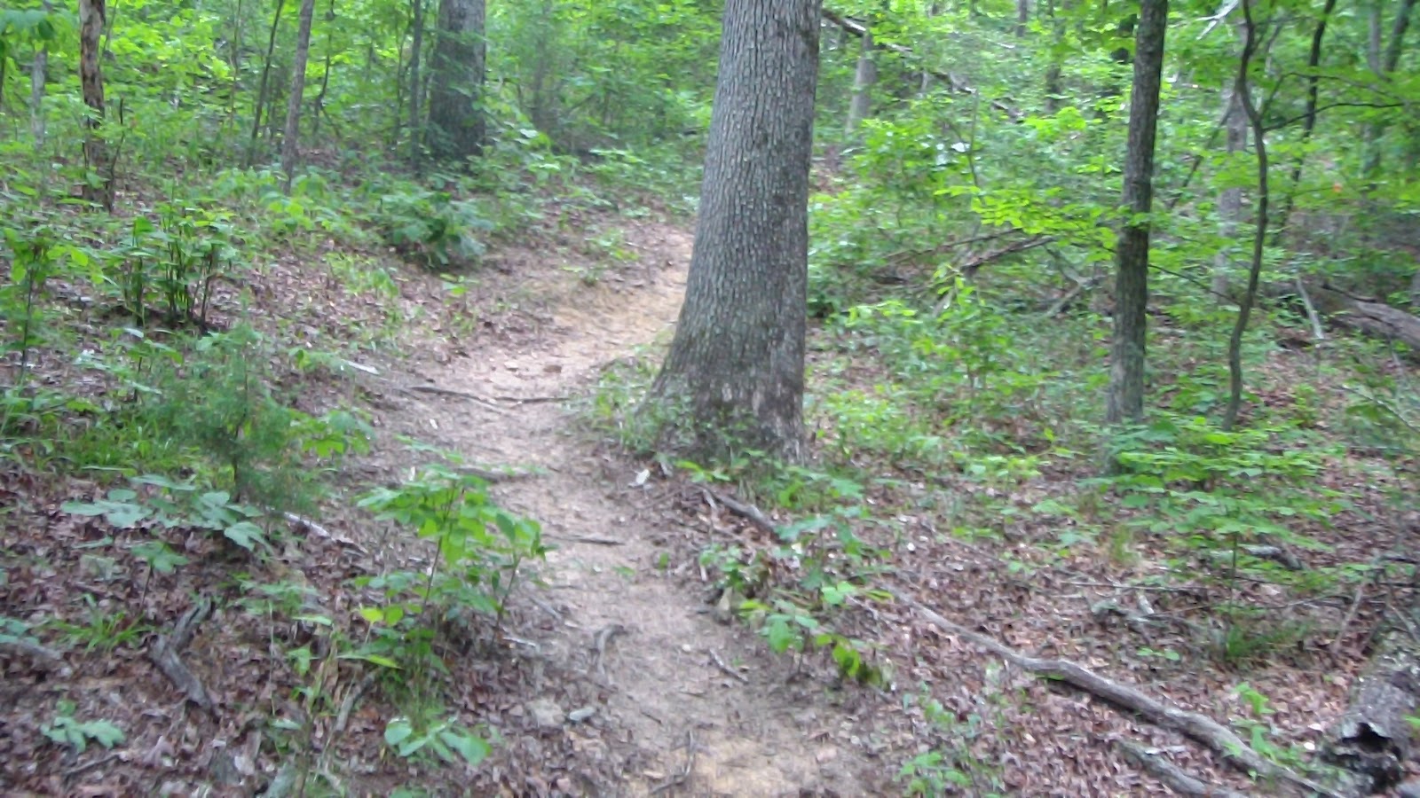
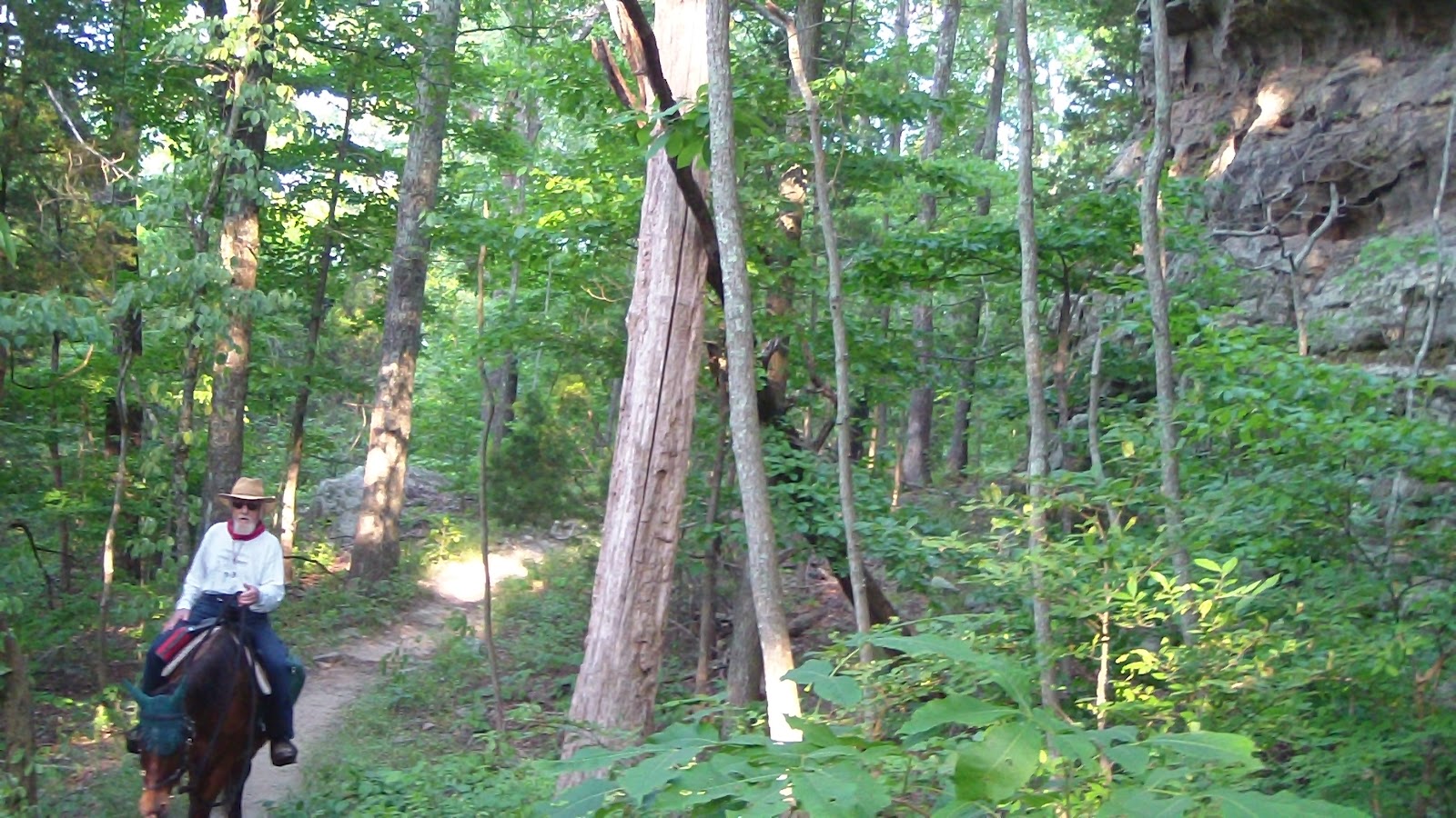
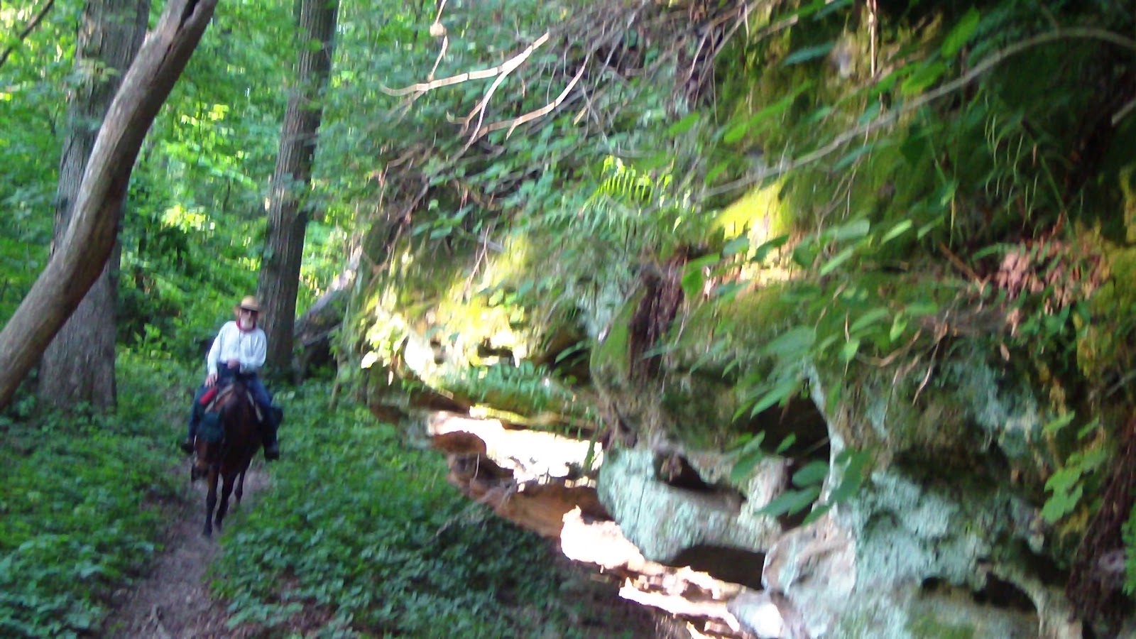
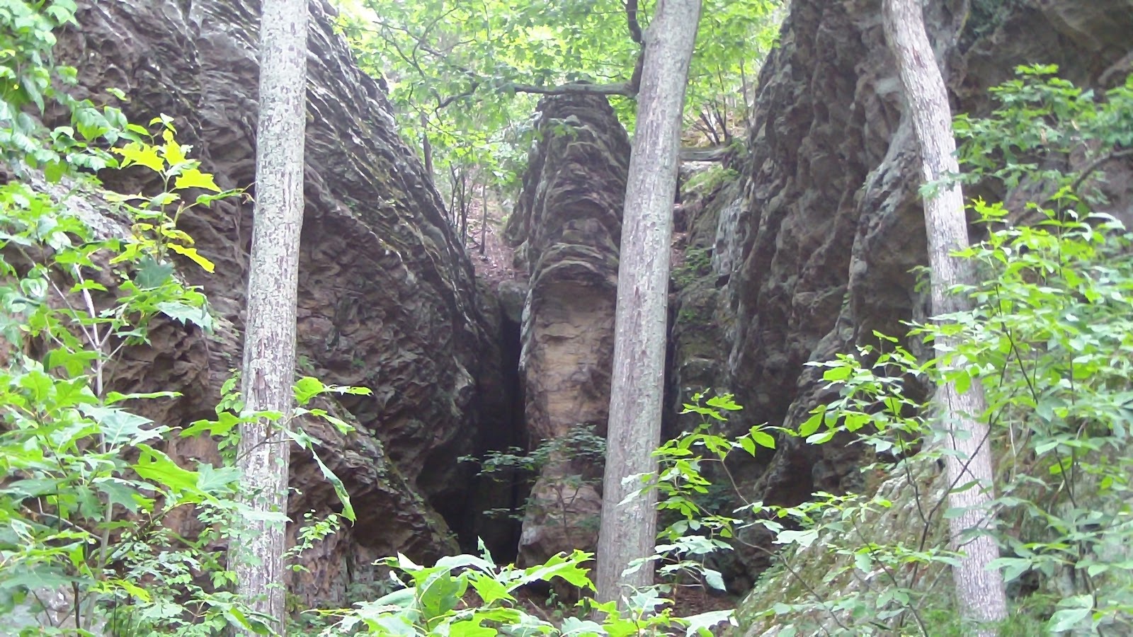
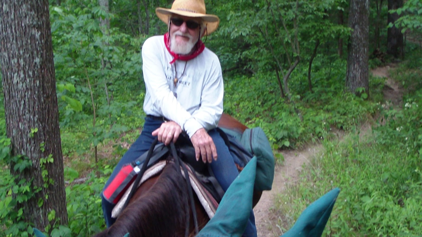
Set the alarm for the earliest yet, 5:15!! Civil dawn was already breaking, we had a bowl of fruit for breakfast, packed up the horses and headed out to the Garden of the Gods. Arrived just before 7:00, found the parking area empty except for one fellow sitting in a chair apparently waiting for someone. We saddled up the horses and headed out, map in hand, across the road onto the River to River Trail (labeled 001) heading east. It was rocky, and we were glad we had put the horses’ boots on, but the trail followed under a ridge of rock formations that were truly spectacular. The trail was narrow and very interesting, and Apollo was immediately engaged, picking his way carefully up and down the terrain. Eventually we left the rockier areas and were surrounded by lovely woods. Par for the course these days, we made a wrong turn and got all the way to a road before realizing it, which unfortunately meant we had a steep descent and climb going both ways. Not sure why I don’t look at my GPS more, guess I just want to resist a LITTLE bit of technology. Oh well, it was only a couple of miles, so we got back on track, and the trails got even better, with lots less stone, mostly really good footing along the way, and beautiful trees, a very natural forest, no logging, thank goodness. We took the most outside perimeter loop to the west, including our favorite trail, I think it was number 652, that took us along some more gorgeous rock formations, which eventually led us back to 001. From there it was straight east back to the trailhead around 11:00, a fantastic ride, and done before the heat got too bad! Plus, it was cooler it the woods this time. A great way to finish off Illinois, the 31st state we’ve ridden in!! Headed back to camp, which we now found empty, as our two neighbors had already packed up and left, and we spent the afternoon getting ready for our departure tomorrow as well.
Sunday, May 27, 2012 – Walk Around the Garden of the Gods

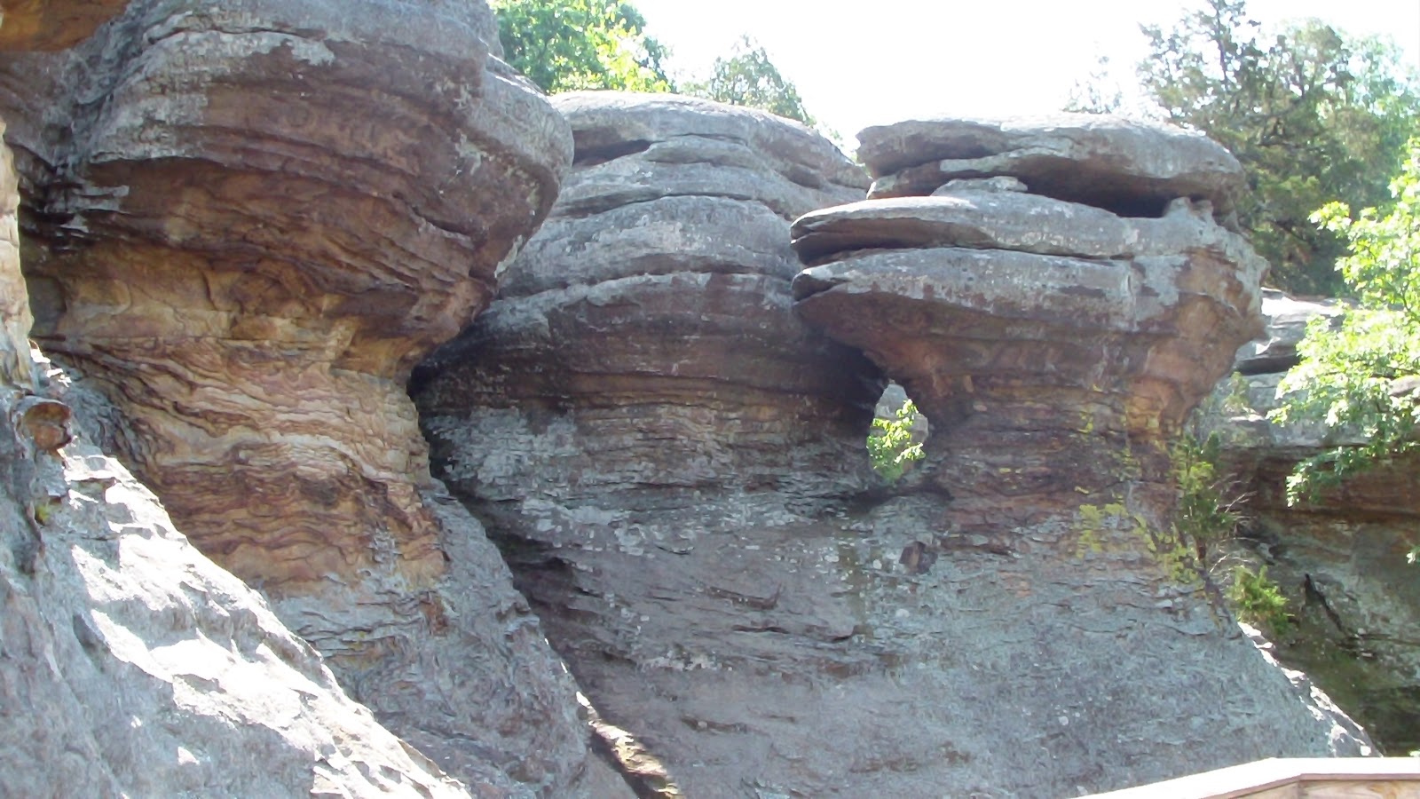
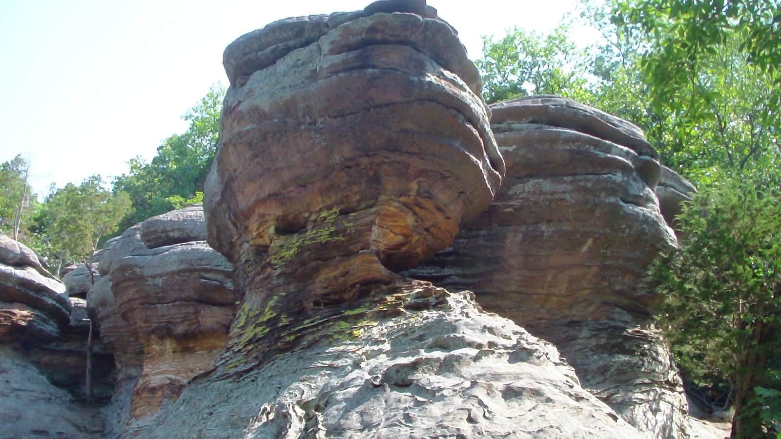
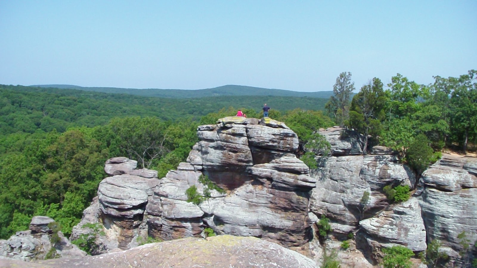
Persuaded Hubby to drive with me over to the big attraction of the Shawnee National Forest, the proverbial Garden of the Gods, a magnificent grouping of rock outcroppings that provide a fantastic view and a nice ¼ mile walk. We also wanted to reconnoiter the area to see about trailering the horses over tomorrow, since it seems there are bridle paths throughout the area. It was a great time, the walk and views were fabulous, and we found the trailhead where apparently horses were allowed. As we were driving back, we noticed a group of horse trailers parked along a bare patch of the road, we thought it looked like a private campground so we pulled in to chat. Turns out there’s a small cabin and a lot of corrals which are shared by a group of riders, kind of a neat cooperative! Anyway, they were very nice, very helpful, gave us some good ideas, showed us some maps, which gave us some ideas. They also recommended we check out Pine Knob, a private campground with well recommended trails (a passing ranger had said the same thing ath Cadiz Camp), so we headed out there, if nothing else but to satisfy our curiousity. It was closer to the camp than Garden of the Gods, but we had to go up several miles of a dirt and gravel road to get there. It turned out to be quite disappointing, actually, little more than an open field with horse trailers parked willy-nilly, a string of highlines along each edge of the parking area, no notable features except that scattered throughout the area they had humorously put up facades of typical wild west buildings, like “livery” and “jail” and “post office.” They had an actual camp store (essentially a metal barn), and we went in to get the particulars. Had a chat with a girl with a stud in her nose about day parking, and she was nice enough to give us a Shawnee Forest Map, and to sell us a map of the trails that are around their campground. I don’t know if it was partly because of the heat (it was pushing close to 100 degrees by then) or just the atmosphere of the place, but something just didn’t sit right with us about it, so we decided that rather than park there the following day, we would return to trailhead parking at the Garden of the Gods. We figured if we got there early enough, we would have plenty of room the park the trailer, even though the lot was just about full when we had gone through there earlier, no doubt busier than usual because it was Memorial Day weekend. We wanted to beat the heat anyway, so early it would be! After some initial reluctance, Hubby ended up enjoying the day, the walk, and the exploring, so we celebrated with a steak and had an early night.

Saturday, May 26, 2012 – Ride Day from Camp Cadiz

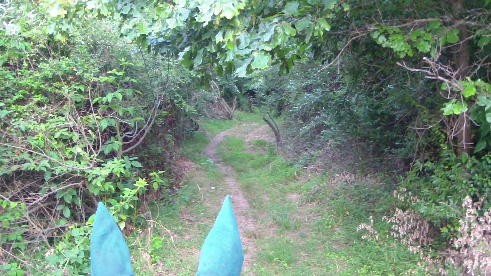
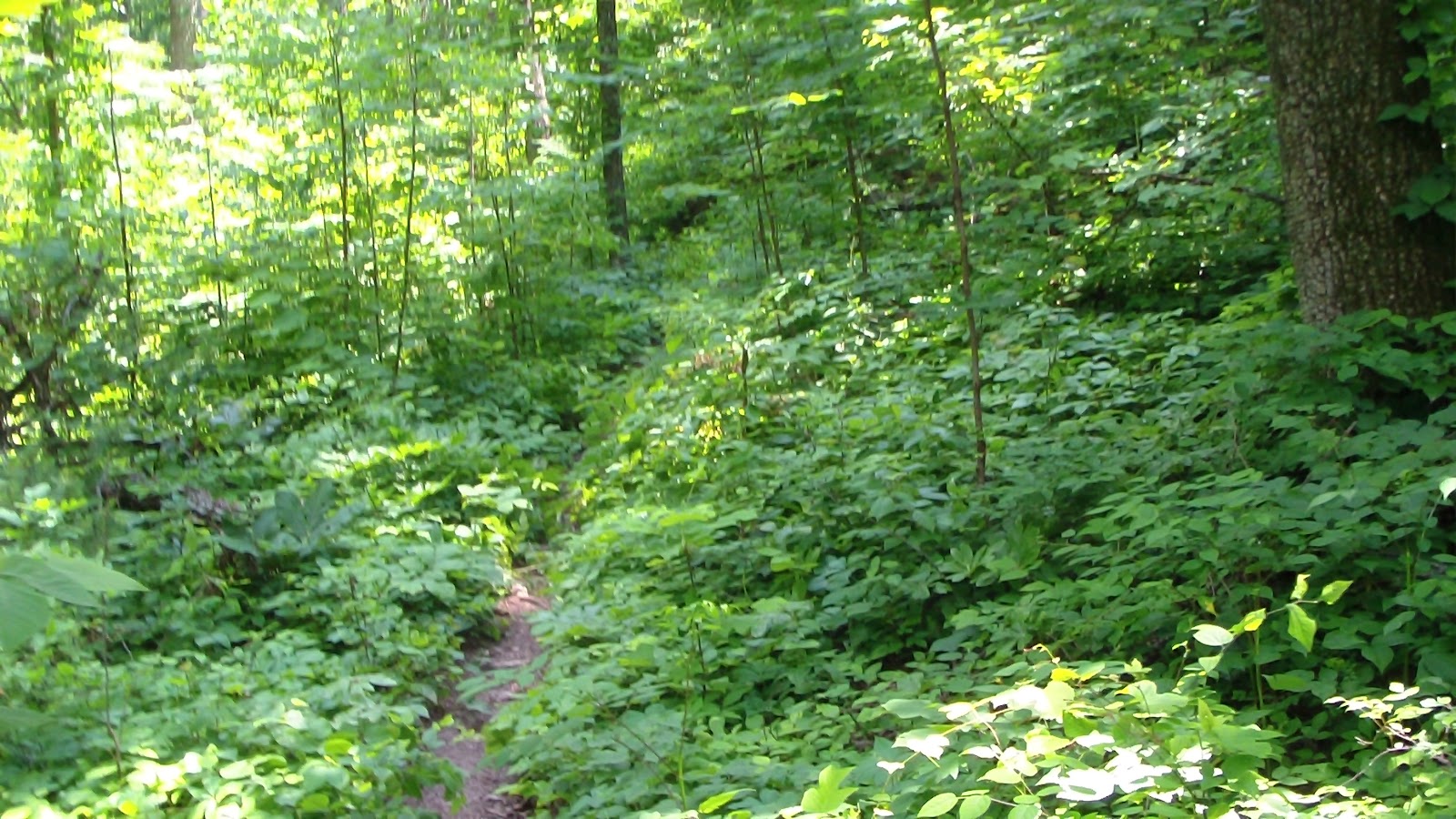
Set the alarm for 5:25, just about the time the sun came up, though I actually was up a little before that. I heard the forest waking up about a half hour earlier, so I joined it. We had a quick bowl of fruit, then got the horses ready, were riding up the gravel road toward the trailhead at 7:00. It was still cool and lovely, and the hot sun hadn’t quite reached the tops of the trees when we turned west onto the River to River Trail. Fortunately we left the gravel behind when we did so, a nice dirt and grass footing most of the time we were on it. There was a long of growth on the trail, which made it feel almost like going through a tunnel, but there was a lot of low overhang which kept it challenging. At one point I even got down to walk under a limb, but Hubby managed to get under it without dismounting. Then we came down to a creekbed, and momentarily lost the trail, as there were orange arrows going one way, and we missed the blue painted marking going the other. Soon realized our mistake though, and managed to get back on track right away. This was a surprising nice trail once we got past the creekbed crossings and started to climb up some hills. After a few miles we came to a T, and the RTR trail was clearly marked to the left, but according to the map I had copied from the women yesterday, the road to the right should be a forest road that would form a smaller loop back to the camp, so we decided to take that rather than linear out and in. It was a forest road, but it’s been a really long time since any motorized vehicles have come this way, and I’m not sure they could make it all the way anyway, but it was great for horses. Mostly dirt and grass, a few rocky areas but not many, winding through mixed deciduous forest with a few pine stands along the way. Really lovely, though again, there were a few areas that had some pretty low overhanging branches. We came across a couple of trail markers, very old and faded, but sufficient to let us know we were on the right path back to the Camp. Eventually we landed at a family graveyard with several very large and nice stones, yet dating back to 1840-1910’s, and smaller ones even older. At that point, the trail turned back to gravel road, and we knew we were on the right road home. The horses didn’t like the gravel much (especially Clio, who was bootless this time, as she had lost one in KY last week), but fortunately it was less than a mile back and we made good time. GPS put us at about 7.34 miles, and we were back in camp by 9:40, just as the temps were starting to climb.

Friday, May 25, 2012 – Hot Rest Day at Camp Cadiz

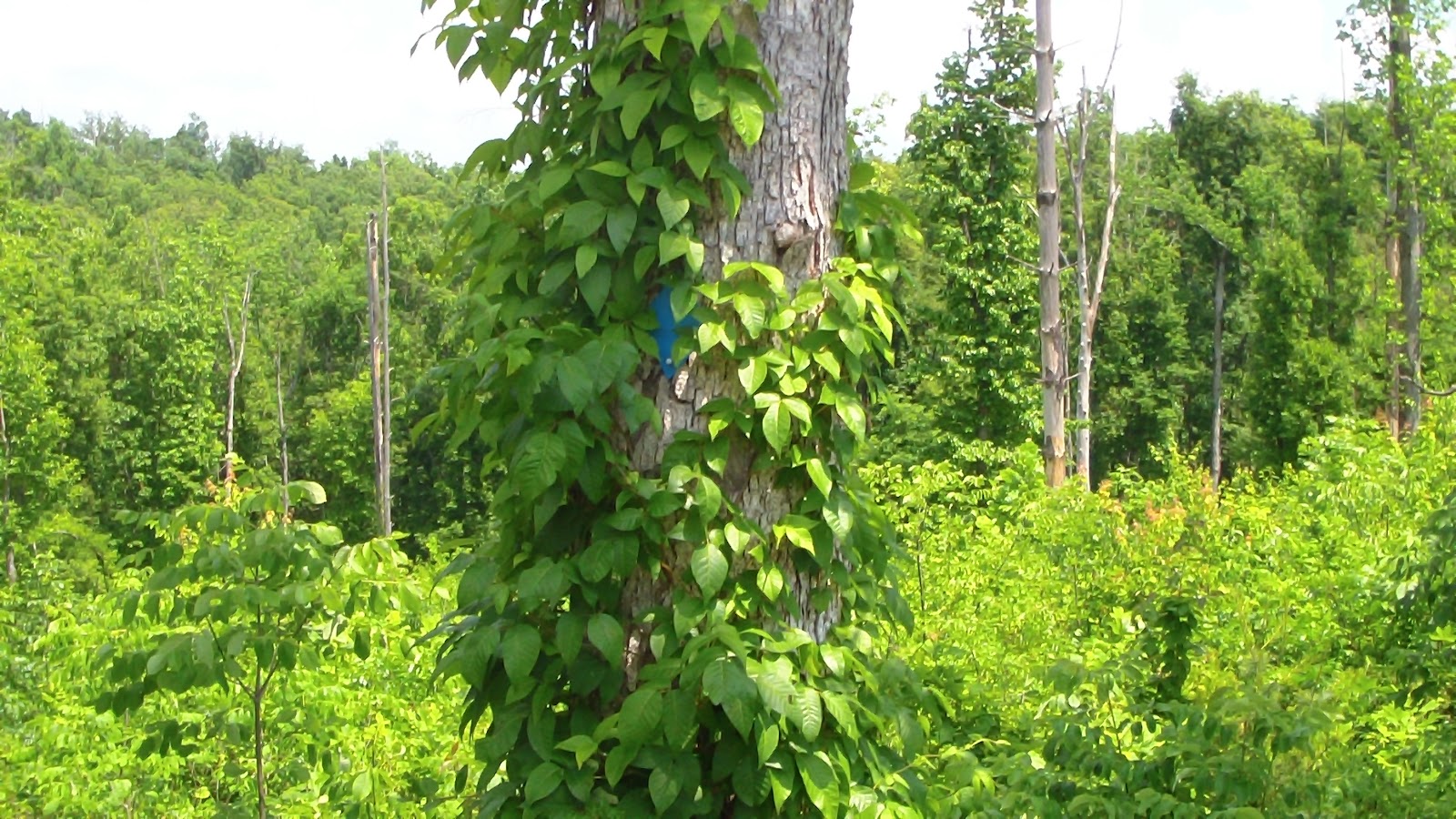
   Spent most of the day getting caught up on bookkeeping and blogging, as it was too hot to go riding today, mostly because we slept late and it was hot early. Hoping to get up earlier tomorrow to get a short ride in before it gets too hot. Nice to relax, though, even if we’re sweating in our recliners. The fans are going, and if it gets too bad, we can always pull out the second generator and run the A/C for awhile. I spent much of the day tending to some rashes I acquired in the last few days. I’ve never been allergic to anything before, and I’m not sure where this came from, but I suspect either I touched something poisonous when I was putting up a highline, and may our latest batch of hay had some poison ivy or something like that in there, as the rash has spread all the way up my arms along the inside, right where I would carry hay over to the horses. At least I have all of the remedies to hand, cold packs, calamine, Ivarest, Gold Bond (cream and powder), hydrocortisone, coal tar soap, aloe cream, our medicine cabinet is filled with anti-itching stuff, though it’s usually for Hubby, and it’s usually for bug bites. I’ve never had poison anything before, when I was a kid I could walk through poison ivy and never get a reaction, but I guess those days are gone! Disappointed to learn it may take as long as 3-4 weeks to clear up! Well, you can bet I’ll be on the lookout for those kinds of plants from now on! And to wear long-sleeved shirts when we ride narrow trails, though I hate to do that when it gets this hot. Better than these rashes, though, that’s for sure!

Thursday, May 24, 2012 – Travel Day to Shawnee National Forest-Camp Cadiz, IL

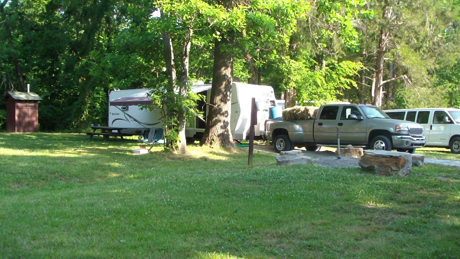
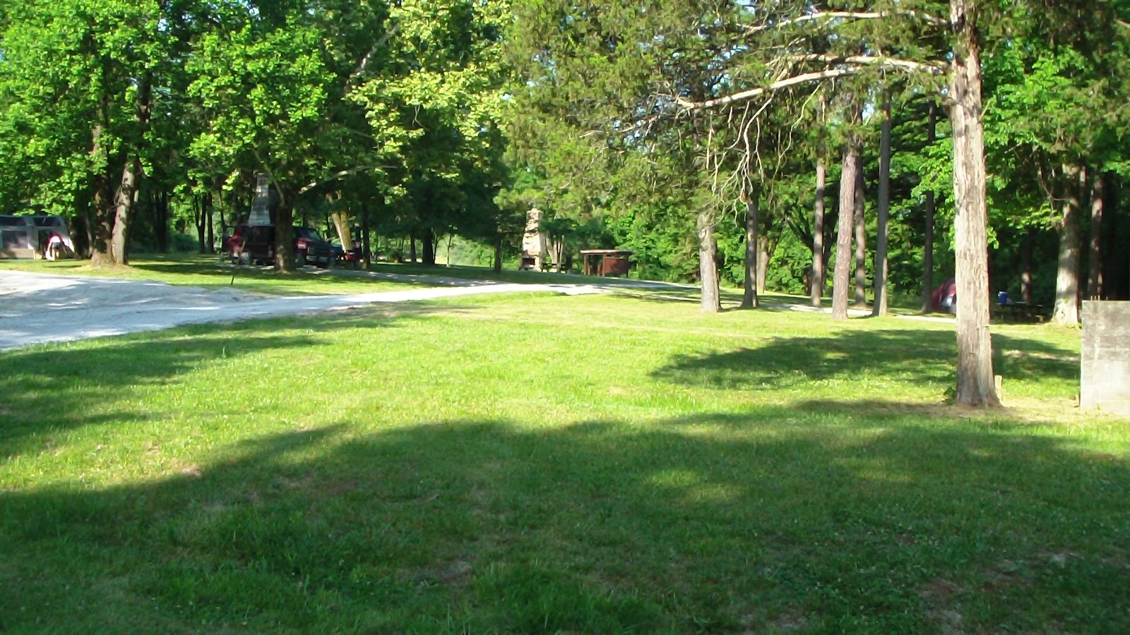
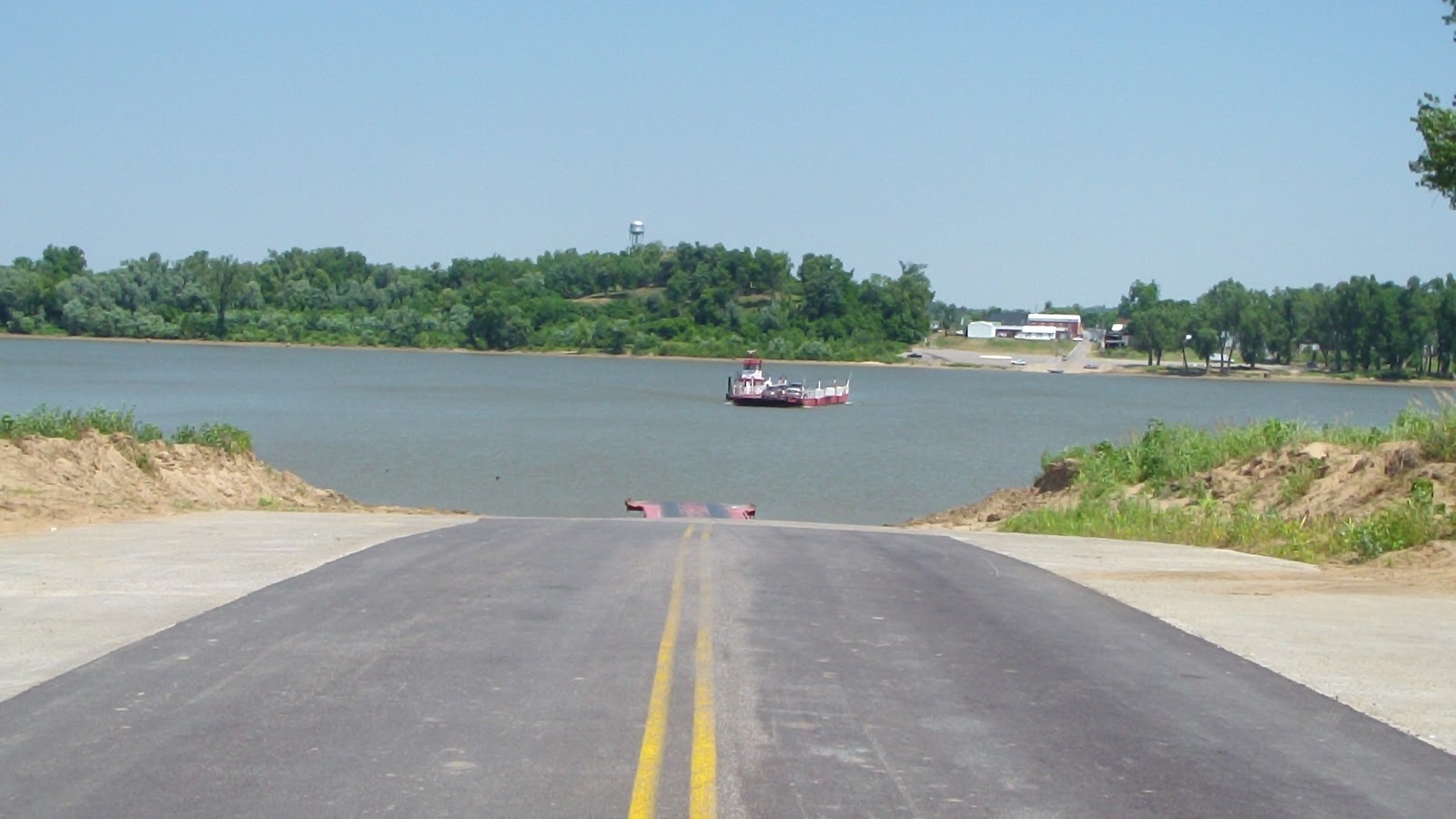
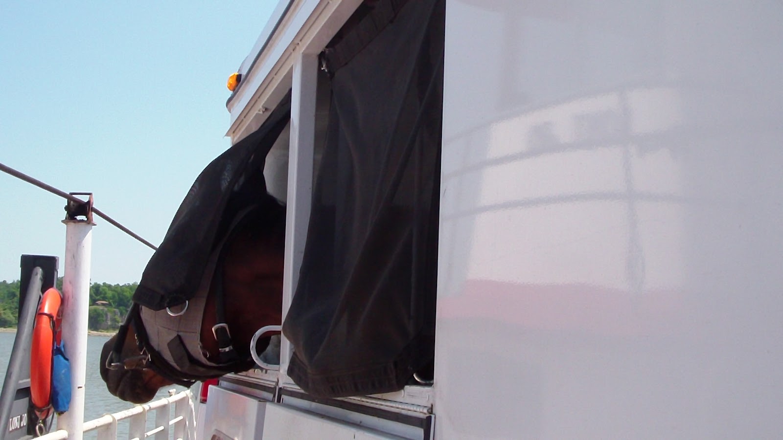
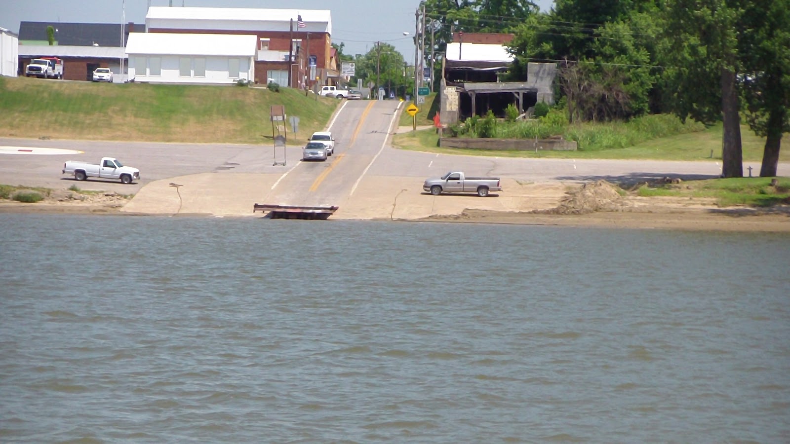
 Set the alarm early, and managed to get out at a decent hour. As the site was a full hookup, we were able to do all our dumping right on the spot, and we were out by 8:00. We had an important phone call to make at 8:30, so we found a nice little restaurant in Dawson Springs for breakfast, had a cup of coffee before the call, then had breakfast afterwards before heading out on our short trip just 70 miles north. We had a straight shot on a back road, with a delightful ferry ride across the Ohio River (no fee!) to Cave In Rock, then a short 14 mile drive to Camp Cadiz. This is apparently a little used camp, but when we arrived, there was obviously a lot of work that had been done recently. The area had a lovely lawn, most of the 11 sites had recently had a new gravel parking pad applied to each campsite, and it looked very pleasant, and it was easy to get to. The only real drawback was that there is only one water spigot, but since the place was empty, we took the spot nearest the water, which also happened to be perfect for the satellite dish. We had a leisurely afternoon getting set up, letting the horses graze awhile on some long grass across the driveway before they came looking for a drink when we started getting the highline up. At one point a couple of women in a pickup truck came by, scouting the location. Apparently one of them has a cabin on the other side of the park and they’re looking for new trails to explore. They had a trail map of the area, and were kind enough to let me take a copy of it, just in case what I already have is insufficient. Doesn’t look like there’s a lot of choice, just the linear River to River Trail (which is over 100 miles long, stretching from the Ohio to the Missouri River), and some forest roads which the ladies didn’t know anything about, though it looks like one can make a fairly decent, shorter loop. Only problem we foresee is that the forecast is for temps near 100 degrees!! Not what you’d expect for Memorial Day weekend in Illinois! It’s actually cooler in Florida than what they’re calling for here. Seldom seem to be in the right place weather-wise, no matter what we do! Always seem to be breaking some record somewhere. Oh, well, small complaint compared to how fortunate we are in every other aspect of our life!

Wednesday, May 23, 2012 – Last Ride Day at Pennyrile, The Orange Trail

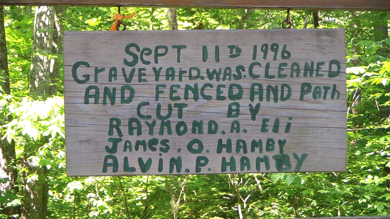
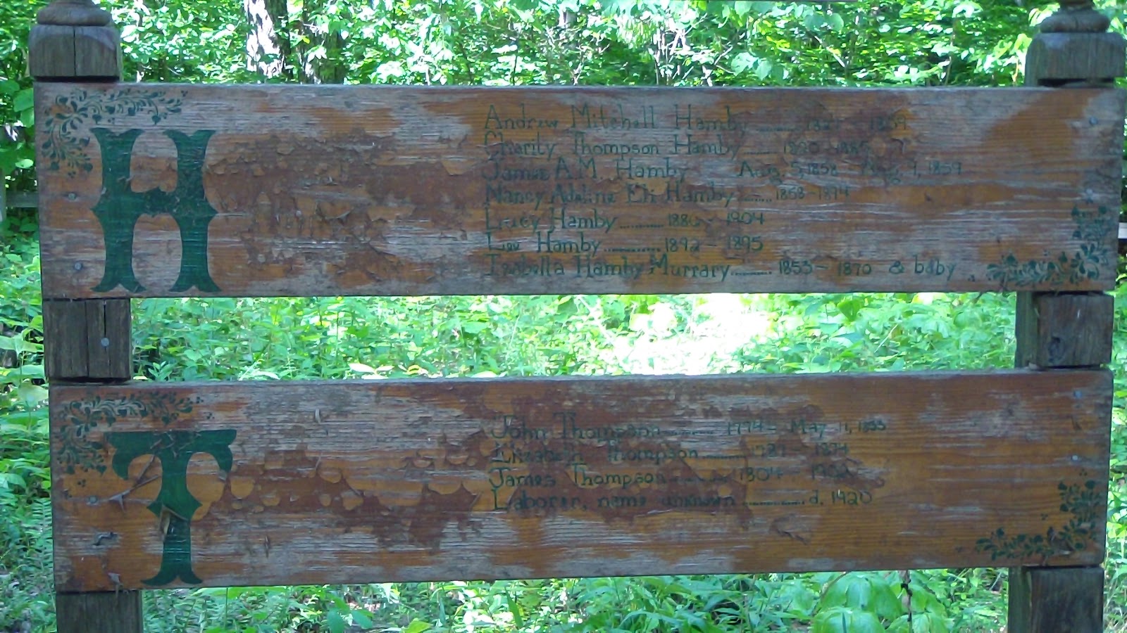
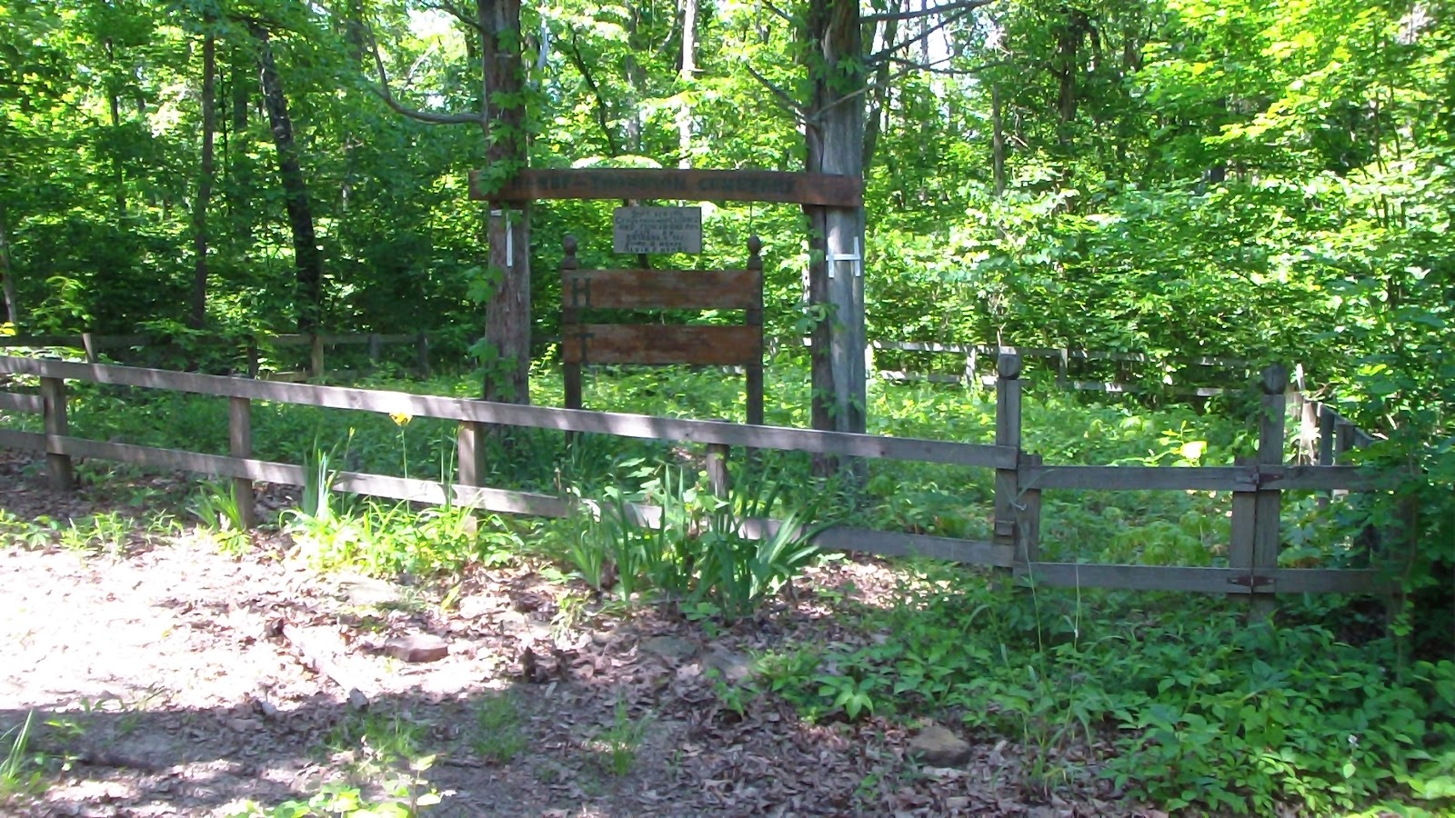
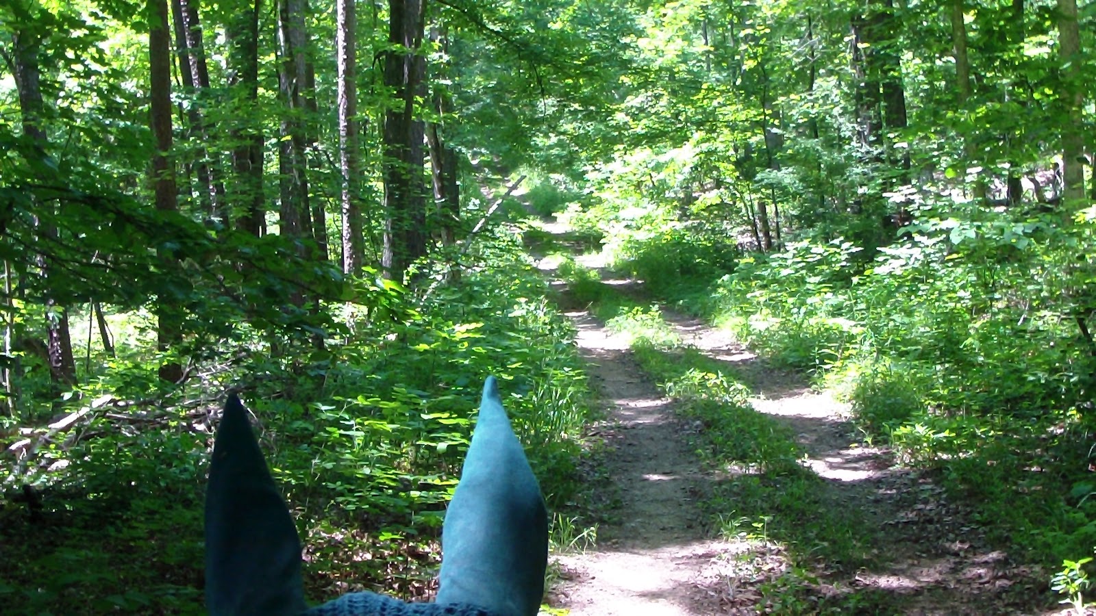
One more trail to do here, the Orange Trail, and as it turned out, it became our favorite! Much more “trail” than road, though not really much better marked than the rest, again, mostly at the intersections. One waypoint of interest was the Hamby Cemetery, a small family plot dating back to births before the Revolutionary War, 1774 pre-USA! We stopped there for a snack, a rest and a horse apple break before pressing on. This was a great trail. Again, though, when we hit a forest road, it was again poorly marked. The map indicated we should go directly across the road, but there was nothing there, a right turn up the road didn’t seem to take us anywhere, so we turned left, knowing that was at least in the right direction toward the center of the park, and thus would cross other trails. Fifty yards or so up we saw an opening for a trail on the right, though it wasn’t marked orange, we took it anyway, just to get off the road. A short ways in we realized Clio had lost one of her Easyboots (Hubby had made a repair to it a few days ago, but it was obviously too far gone), so we turned back a bit to try to find it, but then decided it was too far to go just to retrieve a boot that was probably beyond repair anyway (so if you see that boot on the east side of the Orange Loop, help yourself!) Got a little turned around at one spot, again, but managed to find ourselves back on the right track, and got back to camp safe and sound, delighted that we have found a trail as good as that one here, especially after our slow start on the Blue Trail. Once we got back to camp, we started packing up for our departure tomorrow.

A turtle on the trail

Tuesday, May 22, 2012 – The Pennyrile Yellow Trail

Saddled up in marginally cooler temps, and set off to explore the Yellow Trail. This time we knew the trailhead was by the field with the barns, so we took the camp connector down there and picked up the yellow trail, which followed a gravel road to the main highway. At the main highway, there was a tiny, vague little arrow indicating what seemed to mean cross the road, kind of to the right, but there were no markers on the other side of the road, so once again, we had to consult the map, which indicated the trail went straight across the road. It did not. We crossed anyway, and went to the right as indicated, and just before we were to cross another tarmac highway, we saw a tiny opening into the woods. As we approached, it finally became apparent that it was, indeed, the trail. We turned onto it, and about 50 yards deep into the woods, we saw our first marker, which has been typical of most of the trails here so far. The good news is that most of the Yellow Trail was more wooded than the Blue Trail had been, and more of it was like a “trail” than a road, but there were still some sections that were gravel/dirt road. We thought we got lost a few times (again, always at poorly marked intersections), but overall it was very enjoyable. Near the end, rather than take the combined Yellow/Blue section back the HQ, we managed to find the Camp Trail on the east side of the main highway, a much lesser used trail, but still passable. There were some sections throughout the trail system that need a lot more maintenance, as there is lots of windrow (leftover wood from fallen trees) on the trails, and a number of trees down over the road, possibly left to discourage motor vehicles, which we applaud, but so high off the ground you need a jumper or to follow sometimes rather treacherous detours around them. With a bit more TLC, this place would give Land Between the Lakes a run for their money!

Monday, May 21, 2012 – Shopping Day

Forecast called for a 50% chance of rain, plus we needed some supplies, so I decided to head into the nearest big town called Princeton, and did a bunch of errands. We had purchased a pair of walkie-talkies from a truck stop last week which claimed to have a range of 22 miles, so we decided Hubby would stay home with the animals while I took the walkie to test it out. If it really had that kind of range, we should be able to talk all the way to the town and back. Well, not surprisingly, they didn’t quite meet up to our expectations. In fact, they started to peter out after about a half a mile! I played around with them when I got back to see if it was some setting that was wrong, and we’ll have to try it again another day, though I didn’t find anything really wrong. Anyway, though it got a little cloudy, it never actually rained, but at least I got the errands done, and it’s supposed to be cooler for the next couple of days. More rides are planned!

Sunday, May 20, 2012 – First Ride at Pennyrile, The Blue Trail

 Hot again today, but it’s always cooler in the shade of the woods, so we weren’t too worried. Can’t be any hotter than we’ve seen in Florida, anyway. Headed south out of the campground on what we learned was the “camp trail,” though there were no markings to indicate that. In fact, we learned there were few markings to indicate many of the trails. It started out as a pretty nice dirt trail with a few stones, narrow and surrounded by heavy woods, just the way we like it. Then we came to the first T intersection, where there were no indications of any of the trails, red, blue or yellow, just one sign pointing to the right for the lake overlook. According to the map, though, it looked like we were supposed to go left, so we did, and the trail widened into a dirt, gravel and grass road. That soon led us to what was marked on the map as the “Forest HQ”, but all we saw were several maintenance buildings, which we circled around look for the yet again unmarked trail. Not finding anything, we headed down the driveway toward the road looking for signs, finally noticed a path that went around the gate. From there, there was nothing. There was a large field and some barns across the road, and a few horse trailers parked in it, but it looked like a farm. After reviewing the map, we decided to head down the road to the right, and about a quarter mile down the road we finally found a blue marker. The next several miles was on a gravel and dirt forest service road, our least favorite kind of horse trail. FINALLY, the trail turned off to a real trail that suddenly went from easy to challenging, a very narrow trail that had obviously not been very well-maintained, lots of downed trees and branches, steeper inclines until we reached a creek, which the trail followed for a while before climbing back up again. Trail turned back to a road. Somewhere along the way we found waypoint markers that indicated we were going in completely the wrong direction than we thought, going counter-clockwise on the loop rather than clockwise. Eventually the road reached the main highway, and paralleled that for a ways, until we finally opened up into a large field that turned out to be the field we saw earlier with the barns and horse trailers! I read somewhere that the trails were well-marked, and they kind of are once you’re ON the trail, but every intersection was a mystery! Though we started out in the woods so the heat wasn’t too bad, many of the roads were open to the sun, and the heat became really debilitating pretty quickly. Nevertheless, it was a pretty good ride, we did manage to get quite a few canters and trots in on the straight-aways. Gave the horses a bath when we got back to cool them down a bit, then crashed ourselves, wiped out from the heat. It shouldn’t be this hot here in May! Hope it cools off soon!

Saturday, May 19, 2012 – Relax and Research Day

So tired from all the work lately we decided to take the day off and relax. Weather forecast says rain on Monday, so we figure we’ll ride Sunday, Tuesday and Wednesday. Hot today anyway, so I spent the day on the computer (there’s a slow but passable signal here) researching logistics for the next few weeks and months. This summer is so packed with activities, I just felt the need to get a bit ahead of the curve. At least it wasn’t physical, so I managed to rest a bit. Hubby still feeling achey from his fall, plus working in the cramped well house during the week, so he desperately needed to relax today too.