Archives for July 2012

Sunday, July 8, 2012 – Last Ride Day at Bear Springs Mountain

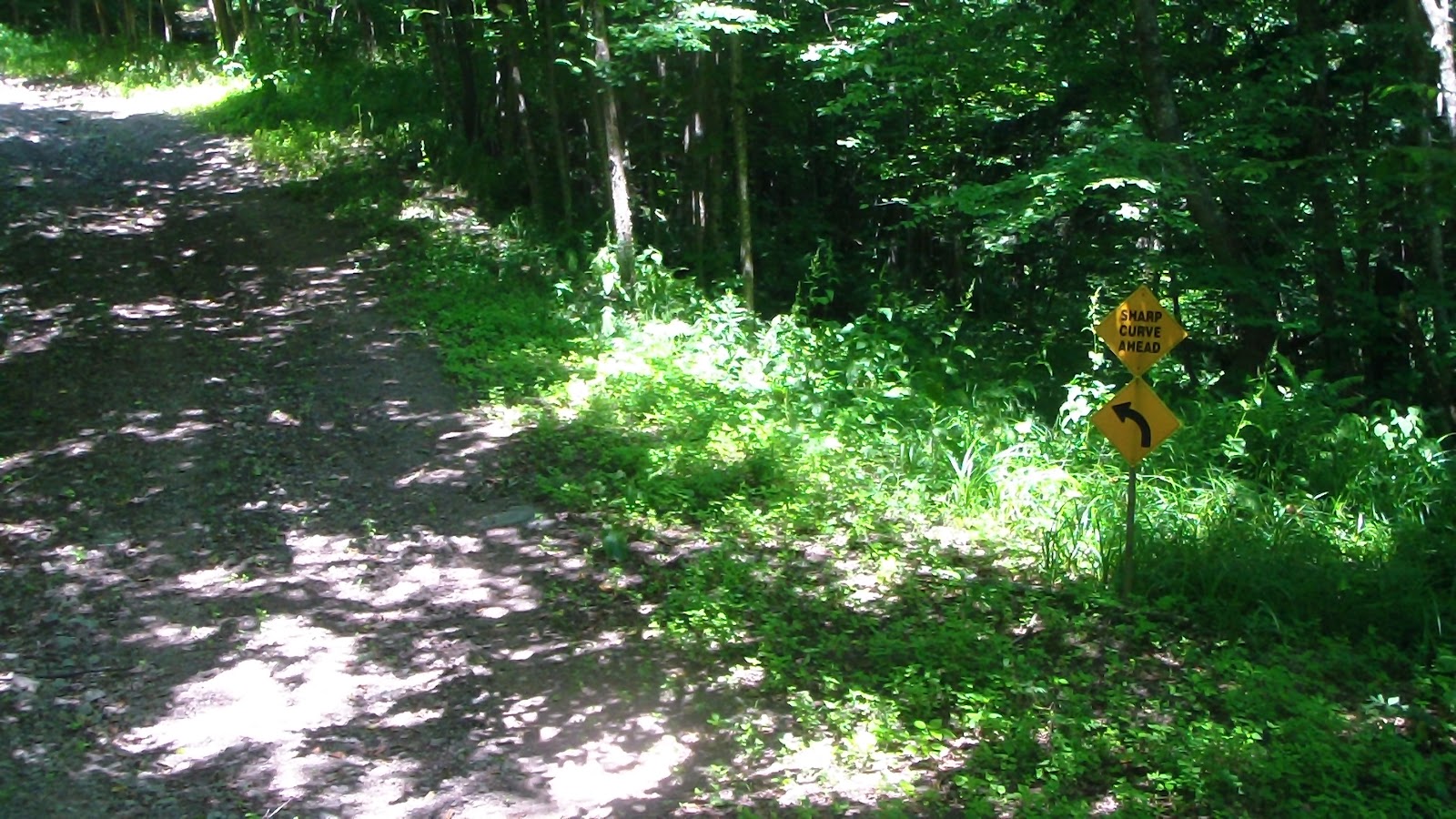
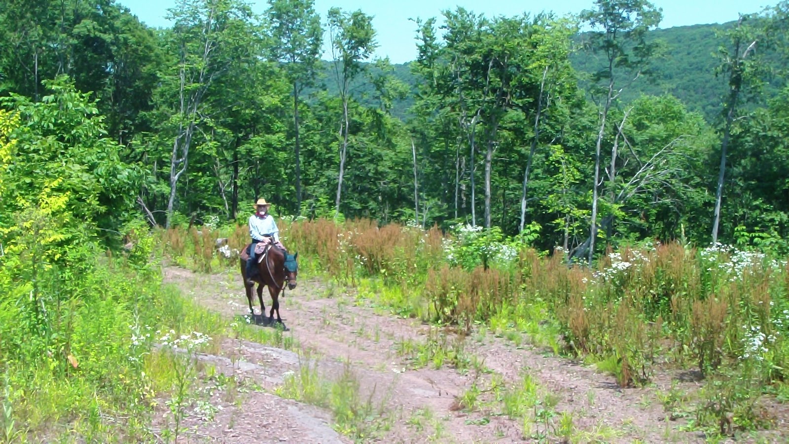
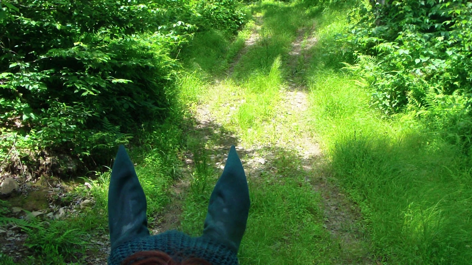
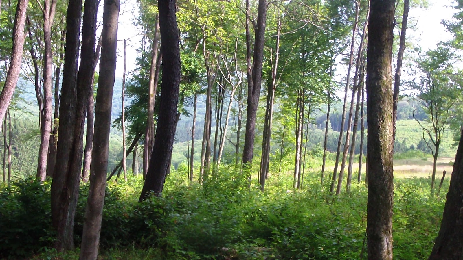
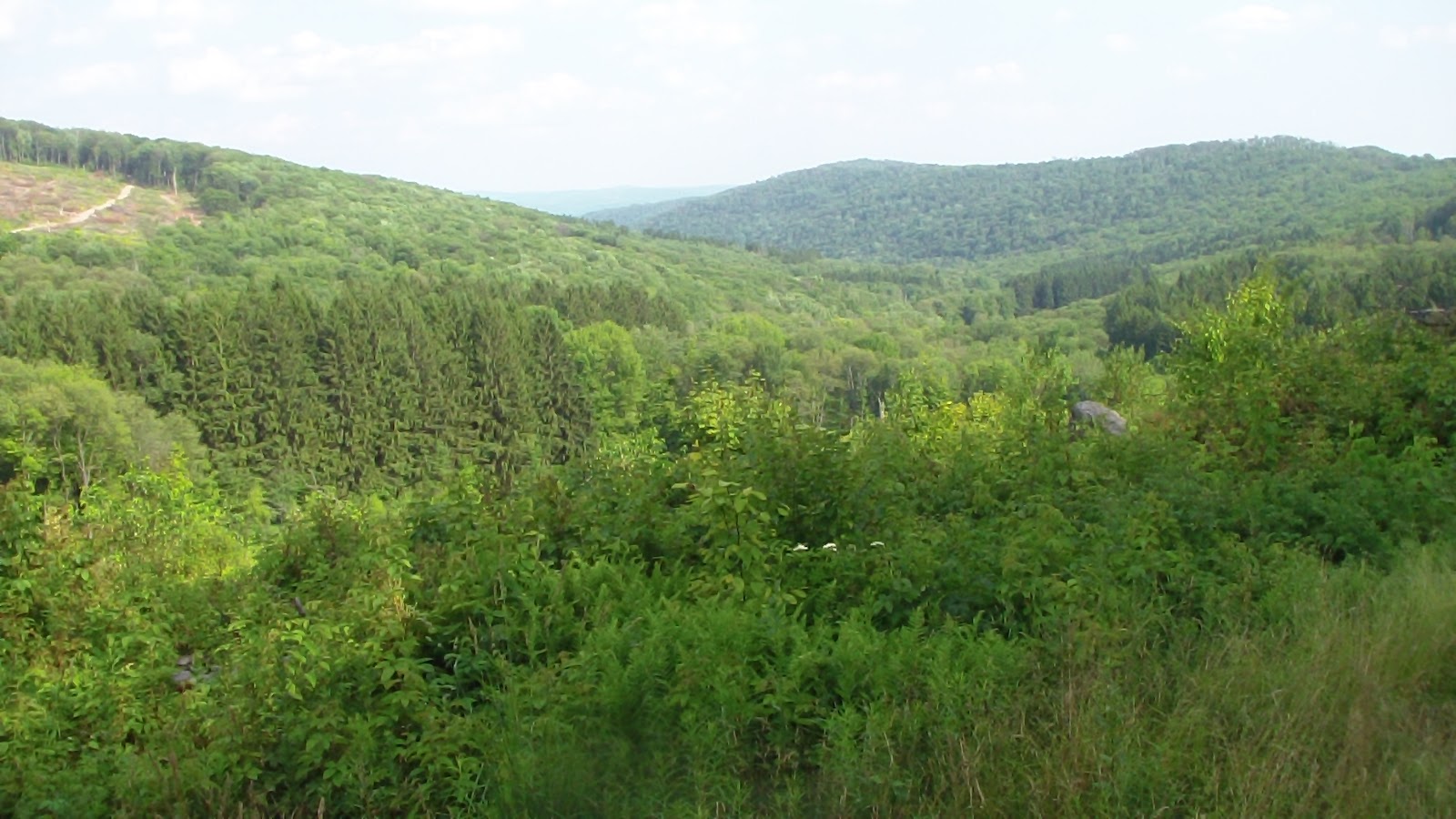
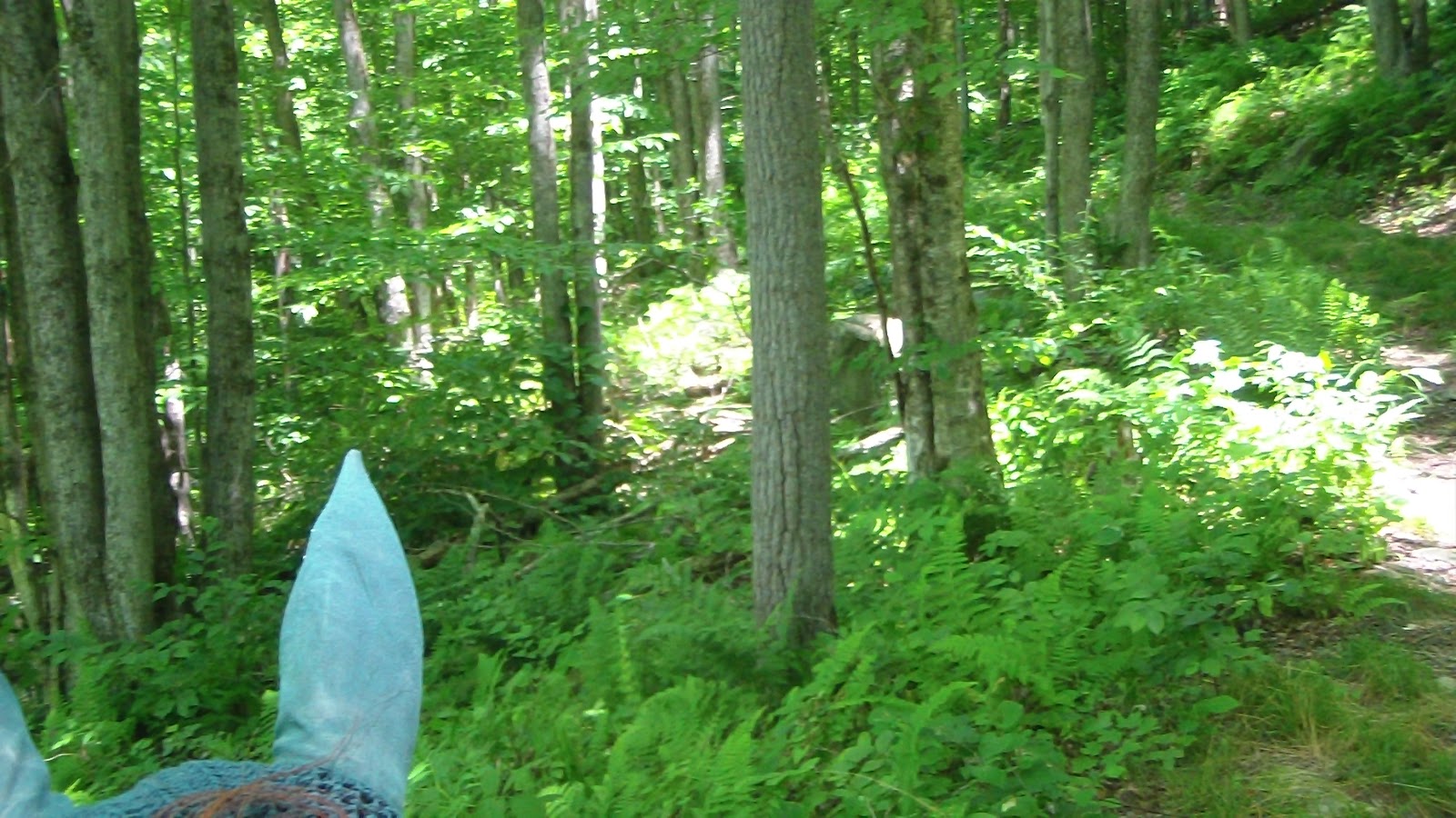
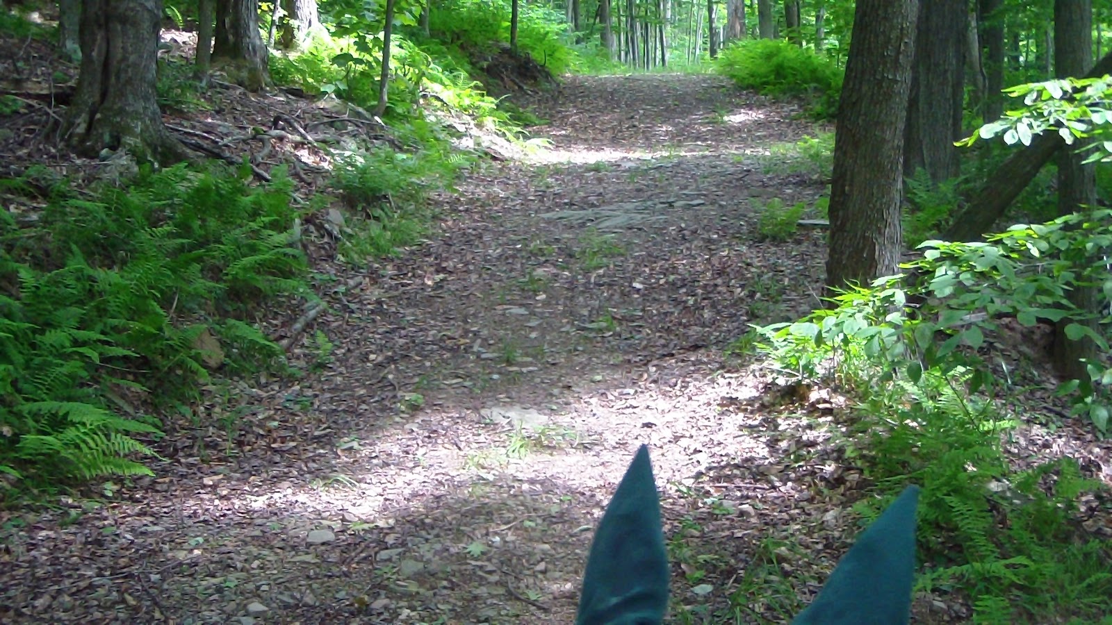
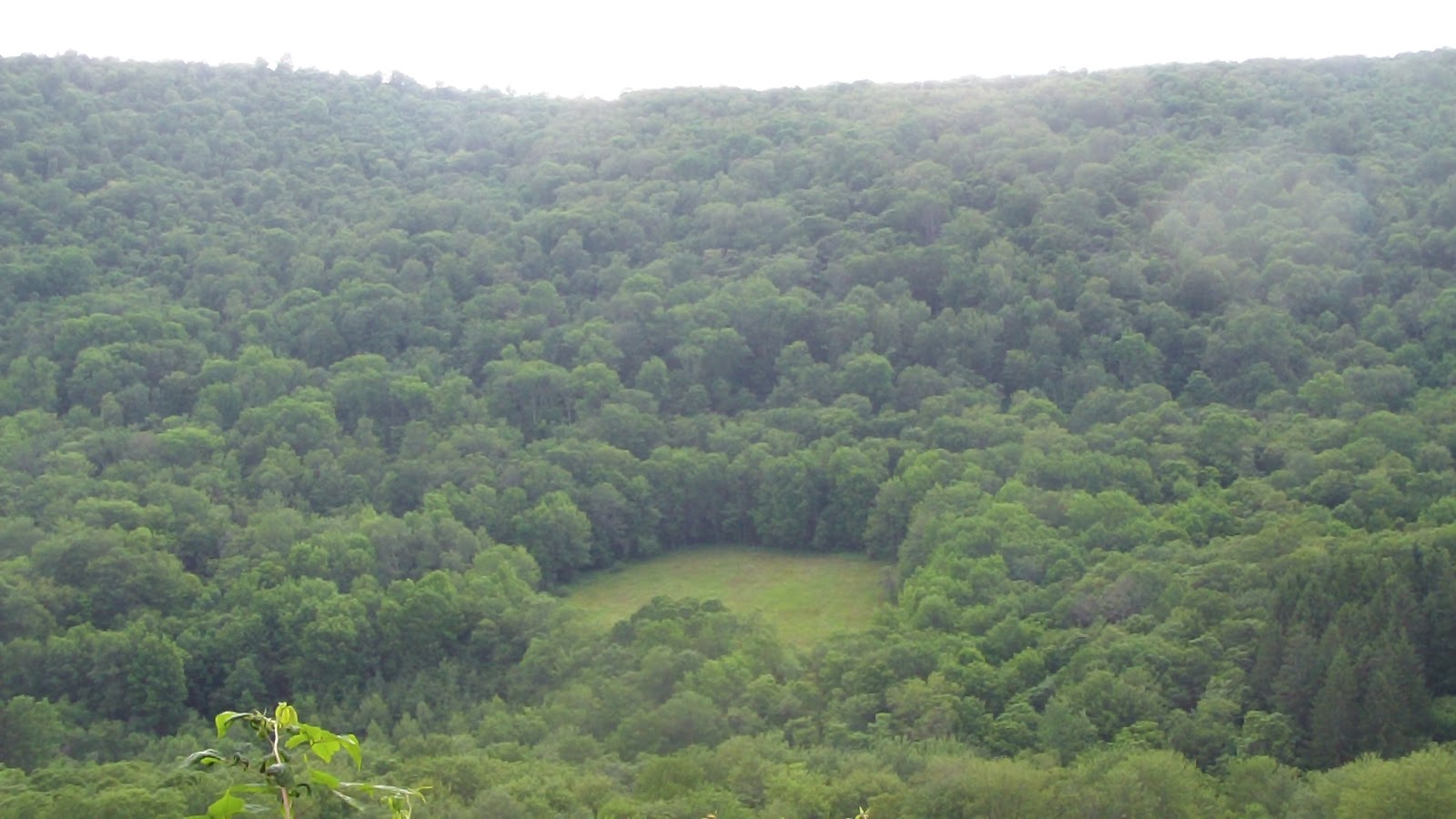
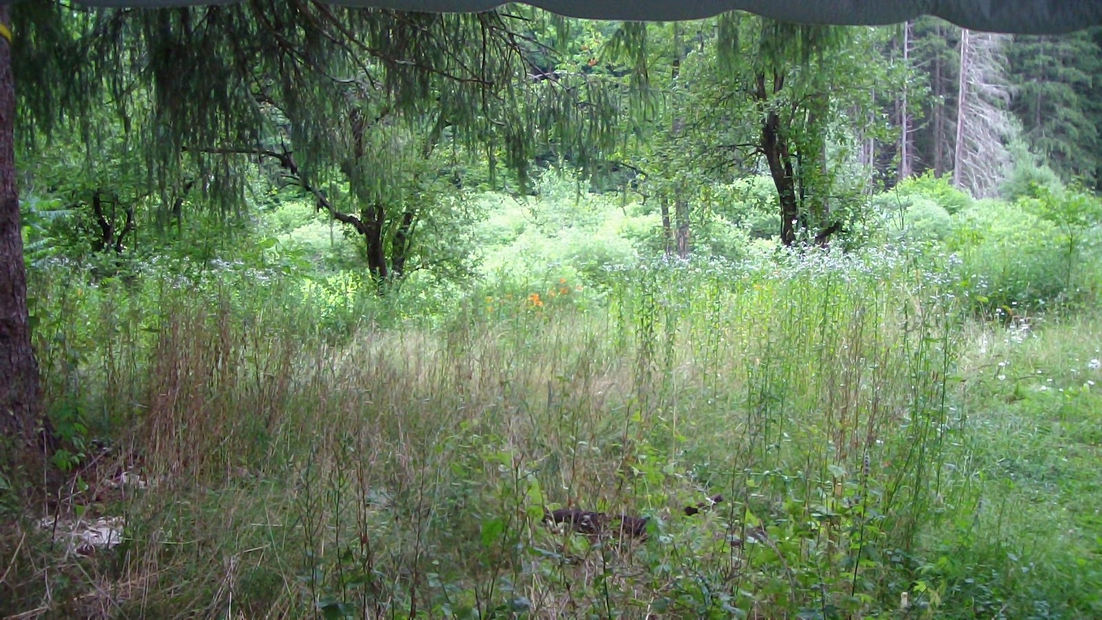
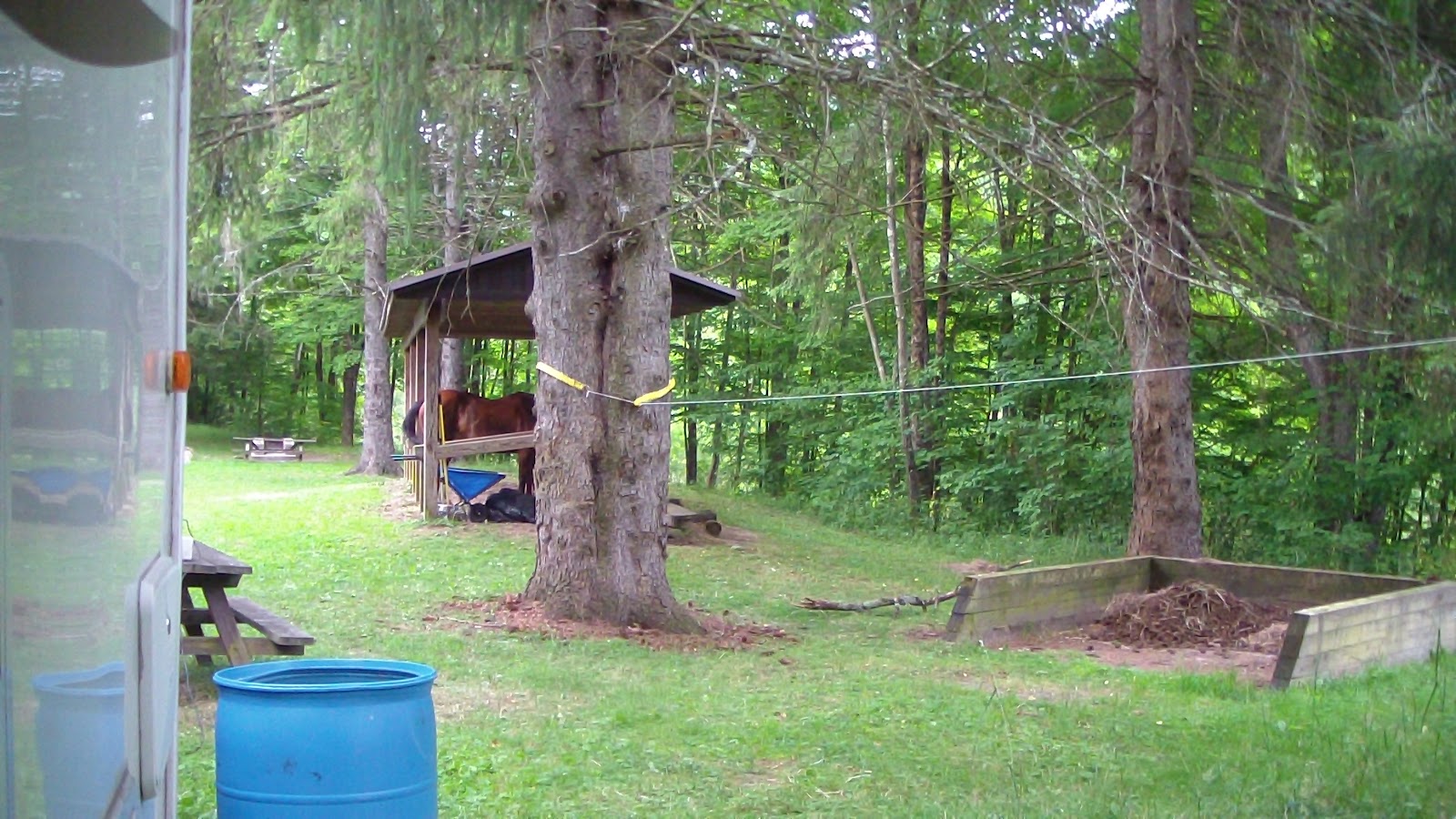
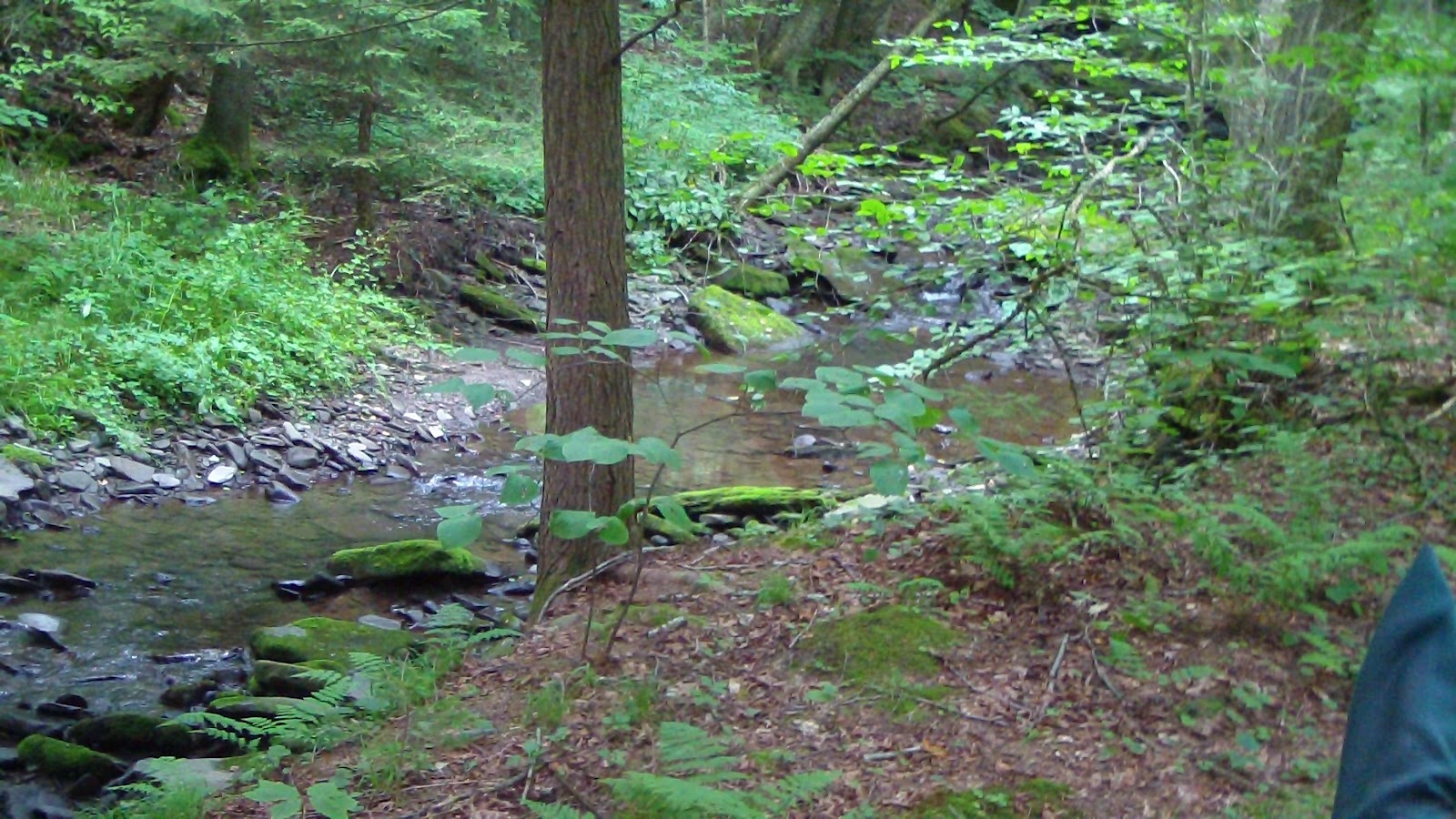
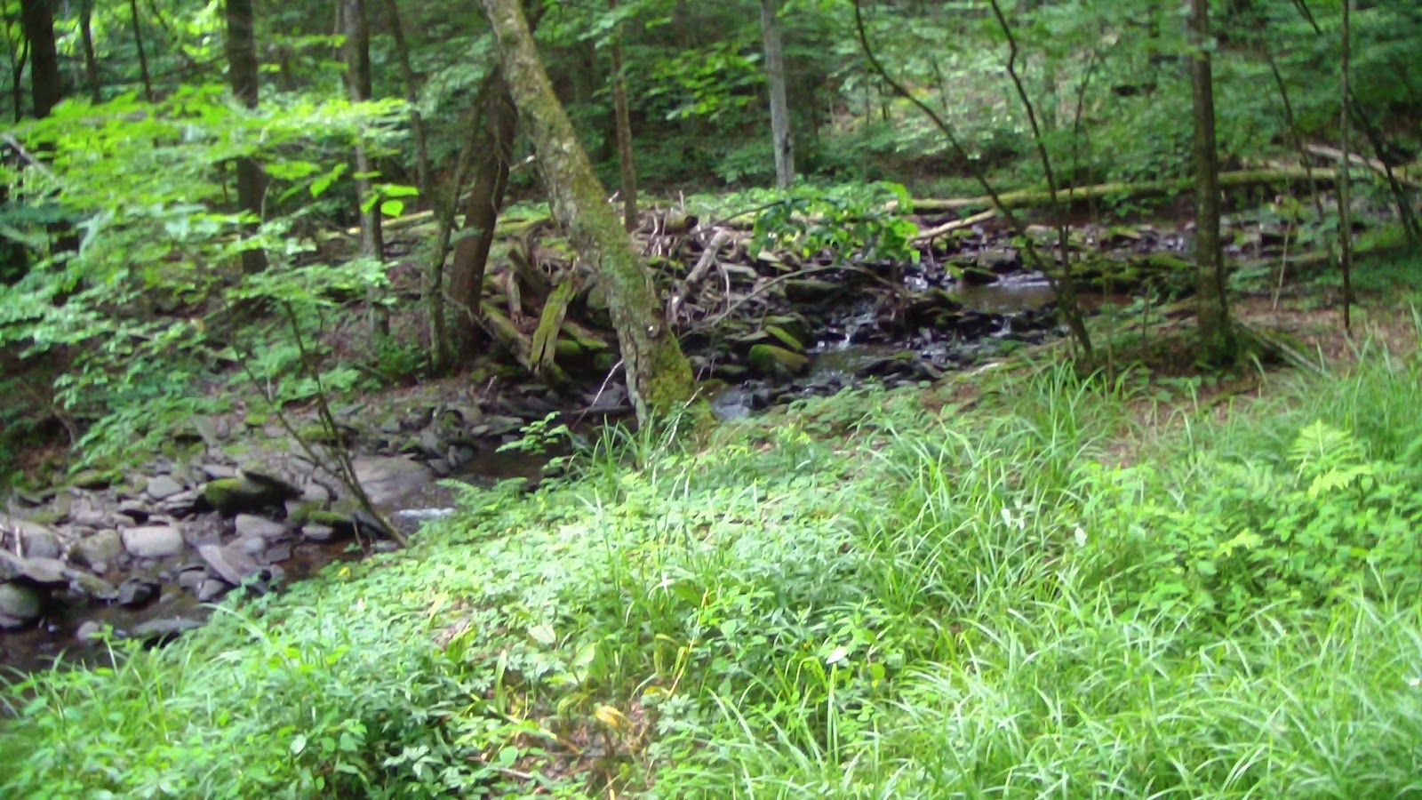
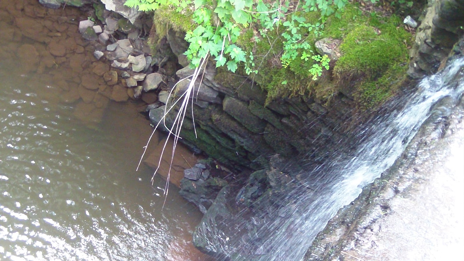
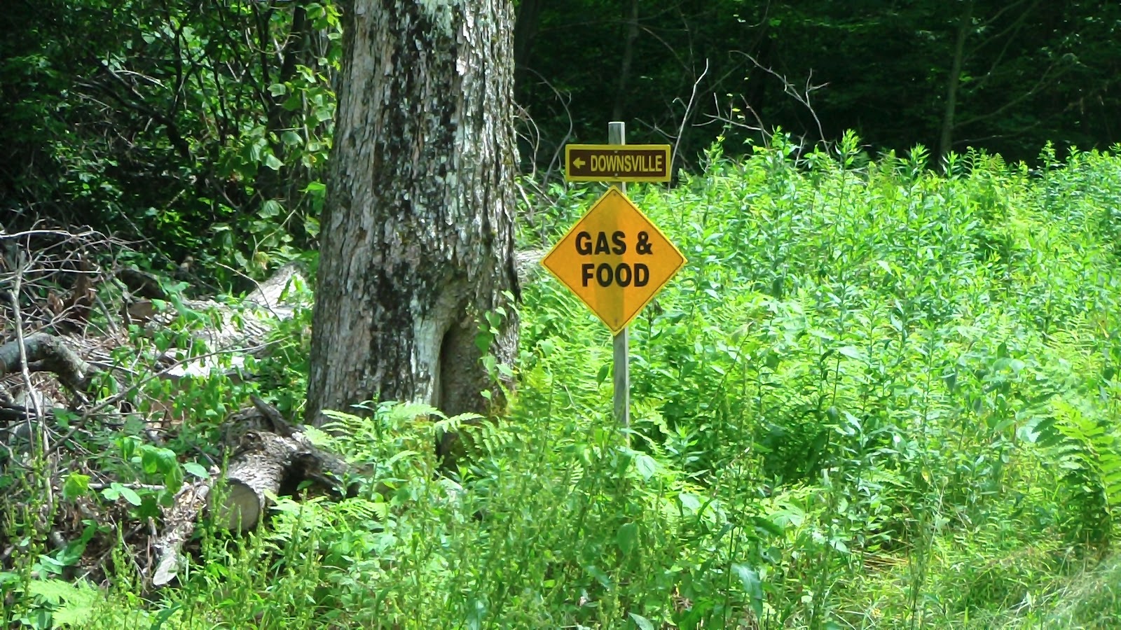
Still had music late last night, but not as loud because it was further away. Still wore earplugs just to be sure of getting a good night sleep. Planned a trip today to get in one more trail on the books, even though it’s named the “box of rocks” trail, and everyone warned us it was really rocky. Turned out, not so much. There were a few short sections where it was pretty rocky, and it was more rocky than many of the other trails, but on a scale of 1-10, with 10 being the rockiest, this would only be about a 7. It was a more interesting trail than all the others we’ve taken here, because it was more of a trail than a road, which the other trails were, albeit lots of grass, they were still wide like a carriage road. We liked it though, one of the better ones here, even with the rocks. When we got back, we put everything away before settling down for the night, early morning tomorrow as we set off for our next horse camp, Brookfield.

Saturday, July 7, 2012 – Rest and Laundry Day

Slept late (thank goodness for earplugs!), had a leisurely breakfast, and spent the day doing laundry, which I hung out on a line I had strung between two trees (love the smell of fresh-dried laundry!) and worked on the computer. Good news, I think I may have finally found a place near Rochester to stay for the events we have there! That would pretty much take care of all of the logistics for the next month, yeah! More good news, most of the noisy group left today, so we’re looking forward to a much quieter night tonight!

Friday, July 6, 2012 – Long Ride Day

     Set the alarm for 8:00 to make sure we got out earlier, we have a good 14.5 mile ride planned today, and the forecast is calling for about 91 degrees, though since we’re riding up the mountain today, it should be a bit cooler up there anyway. According to Hubby, the music and noise went on until at least 4:00 this morning, though I don’t know how they have the energy after all their drinking and partying every night! Anyway, despite best laid plans, it was after 11:00 by the time we hit the trail, heading clockwise on the longest perimeter trail the park has to offer. It began wooded, and though it did climb, it was a fairly gentle climb with a couple of long switchbacks. We passed a couple of guys logging, and they immediately put everything in idle to let us pass, the kind of courtesy we’ve come to expect from loggers, who, despite the scars they leave behind, do exhibit respect for others in the forest. The first part of the climb was almost entirely through beautiful forest, the trail footing was mostly dirt and stones, a lot of shale rock that is prevalent throughout the area. As we reached the top, it opened up into an area that has obviously been clearcut previously, so it was wide open, and the sun grew hot as we passed through it. It wasn’t too long before we were back in the woods, on a trail that was mostly grass, wide enough to be a carriage road, and fairly level all along the top of the mountain. As we neared the north end of the west side, there were some intersections that created a little confusion, as they had trail maps posted, but then they had a “You Are Here” mark that indicated you weren’t on a trail (even though we were, it just wasn’t on the map!) When my GPS made it clear we were headed “off the reservation” we turned around and went back, picking up the trail at the previous intersection. This eventually took us to the maintenance buildings which were across from where I had been parking to check my email, and two young men were just getting ready to leave when we asked them if we could get some water for the horses (there hadn’t been any active streams, not surprising on the top of the mountain), and they gladly pulled a hose out of the building for us. We were glad we caught them, as they were just leaving, and there was not outside faucet, which we had expected. The horses both took a long draw, and we thanked the men and headed on our way. We almost stopped for lunch at a big rock along the way, but decided to press on until we crossed the road, signaling the true halfway mark. There was a fork in the trail just after we crossed East Trout Brook Road (which wasn’t marked on the map), so we started up the left trail (it was indicating it was shorter), but after a bit we didn’t see any markers, and decided to jump ship for the parallel trail which WAS marked. After about a mile, Hubby’s horse stumbled, and when he looked down he noticed she’d lost one of her Boa boots. He got down and started to look for it, thinking she’d just lost it and that’s was caused her to stumble, but no luck. So I headed back down the trail, thinking I would come across it fairly quickly, but again, no luck. I got all the way down to the road and still, no sign. Just as I was heading back, I heard Clio whinny nearby, and Apollo answered. Hubby had given up and headed back towards me (and Clio was anxious about not seeing her “baby”), so we joined up and kept backtracking. I remembered we had cantered across a field between the maintenance buildings and the road, so we kept going, as Hubby was almost certain she still had both boots on when we stopped for water. Sure enough, right at the beginning of the field where we started to canter, there lay the Boa. Well, since we had put off lunch to find the boot, and it was now about 3:00, we decided to stop there and eat lunch before we pressed on. After trail mix and granola bars for us and oats and feed for the horses, we headed back up the trail again, though we decided to shorten the route a bit by taking the shortcut we had done the other day, and skipping the “Box of Rocks” trail that everyone had warned us was, as the name implies, very rocky. We need to tackle that when we’re all not so tired. The rest of the trip was relatively uneventful, and by the time we reached home at 7:00 we had actually gone 17.5 miles. We struggled through putting everything and everyone away before we sat down to cool off enough to muster the energy for a shower and dinner. Watched a PBS movie before crashing into bed around 11:00, again with pounding music and loud voices yelling in the background. I finally convinced Hubby that no one was going to mess with the horses, and he put earplugs in for the night. It truly is the only way one could get a decent night sleep!

Thursday, July 5, 2012 – Noisy Night and Shopping Day

OMG, what a night! The crowd that moved in during the day put on loud music, loud voices and get both going until the crack of dawn this morning! They were doing fireworks throughout the night as well, upsetting Marina for hours. Absolutely no concern for anyone else, or the rules, or even just plain decency! Kids were running around on bikes like wasps since about 8:00 this morning, and the adults were back up and at it by about 10:00. Unbelievable! We only hope that this is going to be the only night this happens, we’re willing to excuse them the holiday, but if this carries on, I don’t know what we’ll do. I actually had to put in earplugs for the noise, something I usually reserve for the heart of a downtown! Anyway, at least I was able to sleep, though not long enough, but Hubby was worried that as they got more drunk they might mess with the horses, so he didn’t put in earplugs, and thus he didn’t get a very good night sleep. We were both tired when we got out of bed this morning, so we decided that it would be foolhardy to attempt our 14.5 mile ride we’d planned today, so instead I went into town and did some shopping and internet work that needed doing. Hubby took a nap while I was gone, and managed to deposit 2.5 hours of sleep into his sleep bank in my absence. When I came back, we read for a while before settling down in the evening to TV, which we had to turn up to hear over the loud music, which, again was still blaring when we went to bed at 11:00. Earplugs again for me, but Hubby was still worried about the horses, so he braved it out without them. Still heard fireworks going off late, though, really upsetting Marina. Wish these people would call it a night! We’ve never been ANYWHERE where there was so little respect for others, or the rules about quiet time. Yes, there have been occasions when somebody would run a generator all night, usually for medical reasons, but never this kind of noise for the entire night! We’re beginning to understand why there are no other horse people here, this is obviously the kind of place people come once and never come back again!

Wednesday, July 4, 2012 – Independence Day!

Slept SO late this morning, Hubby even got up ahead of me and fed the horses and had breakfast waiting before I even crawled out of bed. Obviously I needed it, I haven’t been sleeping too well lately, but I sure got caught up today! Did some laundry, then ran out for a couple of hourse to the top of the mountain so I could do some computer work. Came back to find several campsites taken down the road, looks like a large family or clan here for the holiday. Wasn’t long before we had dinner, settled down to a movie and went to bed.

Tuesday, July 3, 2012 – First Ride at Bear Springs Mountain

Well, par for the course, many of the assumptions we made about this place were wrong. We thought that since it had a reservation system that it would be crowded, but that hasn’t turned out to be the case. No one here yet for the holiday week, it’s been nice and quiet, which is just the way we like it anyway, just unexpected. We also thought that the trails here would be well-marked and well traveled, but after seeing how little the horse camp is actually used for horses, we were beginning to wonder about that, too. I had three different maps of the place, and when I overlaid them on to Google Earth, they all showed the trails in different places, so I didn’t see the point of downloading them to my GPS until we did an exploratory ride, and that we did today. And what an exploration it was! We headed north out of the campground along the creek, which had two different numbers depending on which map we used, and none of them showed the trail so close to the creek. Nevertheless, it seemed to be marked in a few places, so we continued along. We lost our way a couple of times at the first intersection, not much to go one, finally found an old weatherbeaten sign on a tree so overgrown you had to duck under the limbs to get close enough to read it. From there we thought we determined a path, but it ended up being a circle back to where we had come from. Finally pressed on, figuring maybe that wasn’t actually the intersection we were looking for, and that turned out to the be case. We finally got to a bridge crossing and a trail number, 8, but we didn’t know if it was the beginning, middle or end of 8, as this was the first time we’d seen a sign. We kept heading north, looking for a left turn, took the first one we came to but that just took us to a meadow full of turkeys that made the horses jump. We circled back, then took the next left, which had a much more recent roadsign pronouncing it as the “New Trail” but we weren’t sure whether it was on the map or not (it wasn’t), but it did take us a lot further north, still paralleling the road, until we reach another parking area and a trail to the right that went up the mountain. Since we knew we had to eventually get to the top, we took it, and it was very nice, pretty steep, but it took long sweeping switchbacks as we went, and we could see Turkey Meadow again along the way. Just when Hubby was getting anxious, we finally came across another trail that went further up the mountain, and I persuaded him that it would lead us to the trail we wanted, and fortunately, that turned out to be true. Finally, we seemed to be back on track, so we stopped for a snack and to let the horses graze in a clearing before carrying on with the Figure Eight route I had planned, though we skipped one short leg because we wanted to see where we had gone wrong on the way out. It seems the old trails aren’t too badly marked once you know what they look like, but there are a lot of other trails that either aren’t marked, or are poorly marked, or aren’t on the map at all, which is crazy, it wouldn’t take anything to make a new map! Once we got back to the center of our Figure Eight, we debated whether we should just head back to camp along the creek on the trail we came out on, or finish the loop we had intended. We decided to try the new trail, but once again, the markings betrayed us. There were horse markers along the creek on the other side, but they only went about 50 yards before the trail was impassible, so we went back again, until I found the trail on the other side of the main park road. We took that, and then we started climbing, and climbing and climbing, almost straight up it seemed, actually a 500 feet ascent in less than ¾ of a mile, pretty hard on the horses considering they’d already done several major climbs today. We finally leveled off at the top, which didn’t last, because then we started descending again. Not quite so steeply, but pretty much straight down, no switchbacking at all. At least the footing overall wasn’t bad, and the last stretch was obviously an ancient carriage road which had mostly grassed over. We did run into a few rocky areas, but not too bad. Apollo had on his new Cavallo Simple Boots, and they were holding up well (though I had to trim his toes a bit so they would fit), he didn’t seem to mind the stones as much as usual. Anyway, we finally made it back, everyone very tired but happy our explorations had been so revealing. When I transferred my GPS data to Google Earth, what a surprise! Almost none of the trails we were on matched up with anything on the map, even the ones we KNEW were supposed to be the ones marked! Very few stretches coincided, really, really bad maps, even though the shapes of the trails sort of seemed the same on all of them, they’re relationship to what’s really out there is remarkable off. It almost seems like one map was drawn from the other, then the other, when the basic information was wrong to begin with. Oh well, by the time we get done, we’ll have a copious and complete map of almost all of the trails here, on the print maps or not! Exhausted, we got everyone settled in, had dinner and crashed!

Monday, July 2, 2012 – Rest Day in the Catskills


This week’s backyard

Not the best night sleep, but still, it’s pretty quiet here except the occasional traffic going by on the road next to us. Spent the day catching up on my blog and doing some other computer work before falling asleep in my recliner (Hubby did the same :- ). Then I took the short trip up to the top of the mountain to check my email, then stopped at the ranger station across from the beach on the lake to drop off garbage. I noticed they had an RV dump there, but I’m almost positive there’s no way my unit would fit in the tight circle they have it on. Maybe if we were a 20’ trailer it might work, but I’m 36’, so I highly doubt it. Obviously built a few decades ago when Rvs were smaller. Anyway, got back, made dinner, watched a movie, and headed to bed by 10:00, hoping for a refreshing night’s sleep, as we want to go riding tomorrow.

Sunday, July 1, 2012 – Move to Bear Springs Mountain near the Catskills, NY

Woke up just before 8:00, decided to have breakfast at Dennys up the road, so we didn’t even take the time to make coffee. Got everything packed up very quickly, and we were heading out the driveway by 8:45. Stopped for diesel while Hubby got our table, had a nice breakfast before heading out toward the Catskills. Forgot to get gas in the containers for the generator, so we stopped again at the exit, just in time for a friend’s phone call regarding an upcoming job in August. After a 30 minute conversation, we moved on, arriving at the campground shortly thereafter. We missed the first entrance to the campground, and the second entrance was too shart a corner for my big rig coming from that direction, so we had to back up and turn into the day parking area across the street in order to reconnoiter the campground. Many sites were taken, none by horse campers. In fact, it doesn’t actually look like there’s much in the way of horse use at all, even though there are many covered stalls here. The only real sign of activity was that there was some manure in the manure bin, but that could have been there awhile. Nevertheless, it was a reserved spot (though there wasn’t any indication of that on the site post, which they usually do in the more expensive parks), and it’s not large enough to be too crowded over the 4th of July week, which we figured it would be at all the free horse camps around. Of course, originally we were going to be going to Rhode Island from here, so it was on the way, but plans have changed again, we’re heading to Syracuse, then Rochester after that. It’s not too far out of the way, though, and it was prepaid, so we decided to do it anyway. We knew we were a novelty here when all of the many kids in the campground wanted to come up and meet the horses, so our load-in took a lot longer than usual, as we took the time to let the kids acquaint themselves with the horses, letting them feed them munchies and take lots of pictures. Eventually we got the horses settled in and all the kids and moms got their horse fix, and we got back to setting up. The site really wasn’t long enough for us, so we had to shift around a bit to find a level spot that would work, and that took some time. Then Hubby tried to get a satellite signal, and that took hours, and he still only ended up getting one signal, rather than both, so we won’t be getting any news or networks, but we will be able to record some movies. The female ranger came by, and despite the fact that I had paid for the reservation, and filled out and sent in the prepaid registration form, I was informed I still had to drive 3.5 miles to the ranger station to complete some MORE forms, which she couldn’t do sitting in her vehicle, so I had to run up there during the afternoon as well. Also sorry to report I don’t have a cell phone signal here at all, though I had a tiny one at the ranger station. When I asked, I was told there was a signal at the top of the mountain about a mile away, so I headed up there to scope it out. Indeed, once I got to the top, I had a full signa, and I even found a parking area next to a forest maintenance building, so I checked on everything I needed to do before heading back to camp. We settled in for the evening, feeling exhausted since we hadn’t had a day off after our training camp like we usually do. Watched a disturbing English film before taking a quick shower and going to bed.

Saturday, June 30, 2012 – Back to China Pointe

Though I had set the alarm for 9:00 to make sure we didn’t miss the Hampton’s free breakfast, I woke up at 6:00 from habit of the last two days. We still stayed in bed anyway, fell back to sleep and started moving around 9:00 as planned. Showered, went down for breakfast, packed up and headed out about 11:00. Went to a mall to look for a new suit for Hubby, no luck unfortunately. Headed back to China Pointe, arrived around 2:00, met the helper Alex, had a nice chat with him. He helped us close up the inside arena so the horses could run around a bit, which they did with great relish. We ended up putting the horses in a paddock for the afternoon, we could tell they were getting a bit stir crazy staying in a stall for three days. They romped and rolled like mad! Left them in there till almost dark then fed them and put them away for the night. Looking forward to moving on tomorrow!