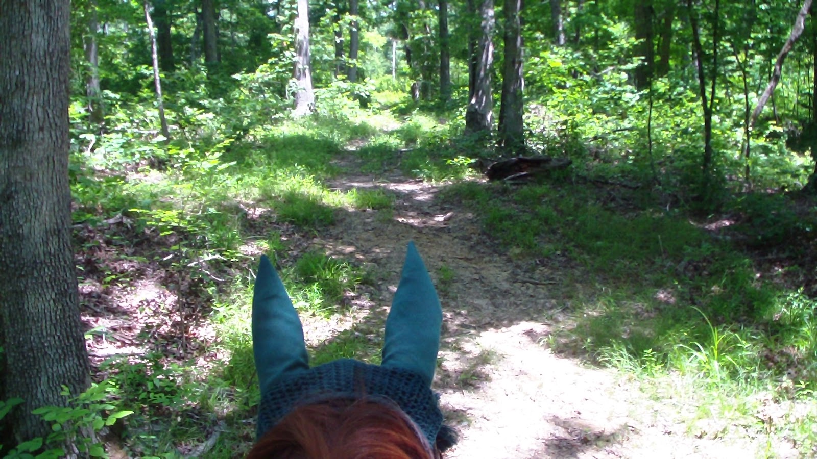


 Saddled up in marginally cooler temps, and set off to explore the Yellow Trail. This time we knew the trailhead was by the field with the barns, so we took the camp connector down there and picked up the yellow trail, which followed a gravel road to the main highway. At the main highway, there was a tiny, vague little arrow indicating what seemed to mean cross the road, kind of to the right, but there were no markers on the other side of the road, so once again, we had to consult the map, which indicated the trail went straight across the road. It did not. We crossed anyway, and went to the right as indicated, and just before we were to cross another tarmac highway, we saw a tiny opening into the woods. As we approached, it finally became apparent that it was, indeed, the trail. We turned onto it, and about 50 yards deep into the woods, we saw our first marker, which has been typical of most of the trails here so far. The good news is that most of the Yellow Trail was more wooded than the Blue Trail had been, and more of it was like a “trail” than a road, but there were still some sections that were gravel/dirt road. We thought we got lost a few times (again, always at poorly marked intersections), but overall it was very enjoyable. Near the end, rather than take the combined Yellow/Blue section back the HQ, we managed to find the Camp Trail on the east side of the main highway, a much lesser used trail, but still passable. There were some sections throughout the trail system that need a lot more maintenance, as there is lots of windrow (leftover wood from fallen trees) on the trails, and a number of trees down over the road, possibly left to discourage motor vehicles, which we applaud, but so high off the ground you need a jumper or to follow sometimes rather treacherous detours around them. With a bit more TLC, this place would give Land Between the Lakes a run for their money!
Speak Your Mind