

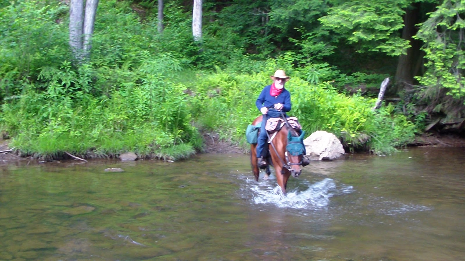
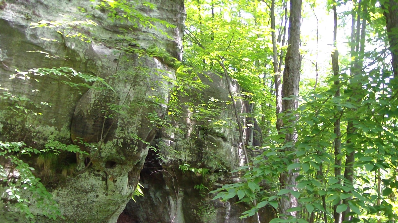
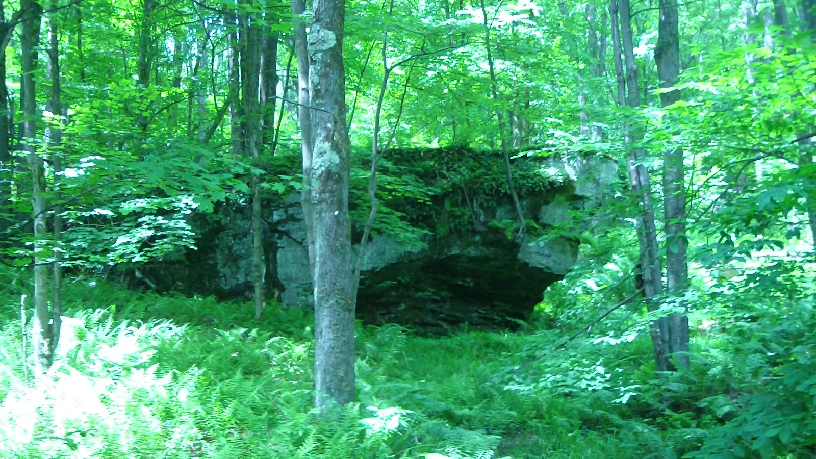
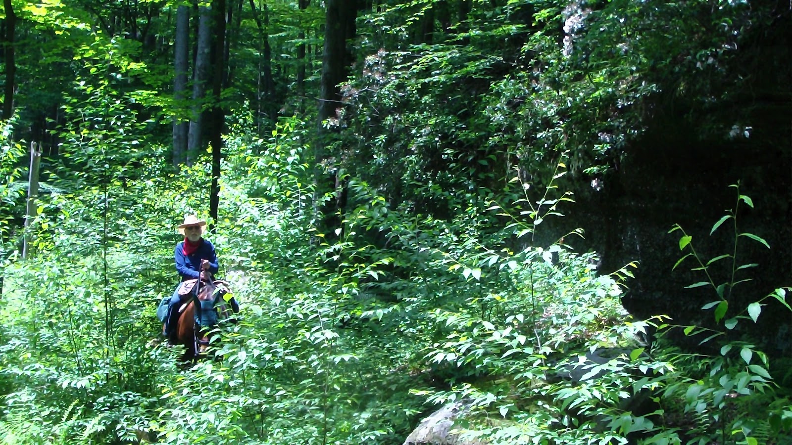
 Slept later than expected, missed saying goodbye to Beth, who headed out earlier than we expected, though our other neighbors told us she wished us goodbye. A leisurely breakfast, then our other neighbor Christie let me download a map to “the Waterfall” from her GPS from a previous trip she had made there, because we wanted to go there, but it seems the trails here are rather hard to find. Thank goodness I got it, too, because we NEVER would have found the river crossings and trail intersections without it! Headed out about 12:30, and according to the map, it would be just over 11 miles. We packed up trail mix for us and oats for the horses, figuring to stop at the waterfall for lunch. We headed out on a loop counterclockwise, which meant we started by going across the road from the campground. The first part of the trail took us past some fantastic rock outcroppings, not quite as spectacular as the Garden of the Gods in Illinois, but certainly better than the backside of GOTG. That eventually led us to a river crossing that we initially missed, because we suddenly had a straightaway in front of us, and we got so excited at the prospect of a canter that I stopped looking at my GPS for a minute, and the result was missing a nearly invisible turnoff to the river crossing. Even then, I’m not sure we crossed at exactly the right spot, but we managed to make it across. It sure would be nice if someone had marked that trails here! They’re all here, they’re just not marked! (or on the map, for that matter.) That took us along a gravel road for a lot longer than we liked, and the horses were slowing down considerably, until finally we found the turnoff that would take us to the waterfall. On the way, we passed Christie and Janine and Ethan coming back from the waterfall, they were doing the same route we were, though in reverse. They reassured us we were on the right path, and we carried on. At one point I got down to cut a few branches from a tree that was blocking the route (something the forest service here seems uninclined to do), and finally, after the longest 7.25 miles I can ever remember, we arrived. It was a nice spot, with a fire ring and a beautiful cascade, and we settled into a nice lunch. The horses ate and napped, and we ate and took some pix and video. After about half an hour, we set off again, back down the linear path until we reached an intersection, again, a river crossing we never would have seen without the GPS map from Christie. That took us up to my favorite trail yet, paralleling the river for quite a while. Unfortunately, it was also one of the least maintained, which was really unfortunate because it is a lovely trail! I tried to move another tree blocking the road, but it took too long, and Apollo got antsy and headed off into the woods, but, of course, he didn’t go far because that would mean leaving Mama behind, and he wasn’t about to do that! Once we caught him, we continued on, until I started to recognize the trail that we had come down with Beth on Friday, one of the “new” trails, which I can’t understand why they’re bothering, because it intersected with an existing trail that came out onto the a main road about ¼ mile away. We took the old trail just to find out where it came out, and lo and behold, even though we had passed it twice before, it was so hidden by overgrowth we NEVER would have seen it! I swear, all this forest needs is a few days with a couple of burly guys, a chain saw, a GPS and a couple of cans of spray paint, and this place would be HEAVEN for a trail rider in a matter of a few days. Unfortunately, that’s not apparently in the cards, the bureaucracy is moving in another direction and taking two years to get there… C’est la vie! It turned out to be a very long ride time-wise, though in actual miles it was less than 12, but we made it back, finally, though it was well after 6:00. Got everybody fed and bedded down right away, then crashed for the evening, looking forward to a day off tomorrow.
Speak Your Mind