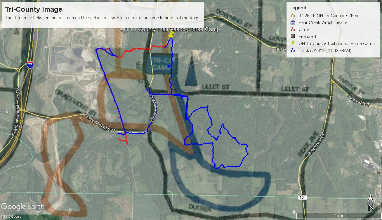
Map vs. GPS tracks. REALLY???
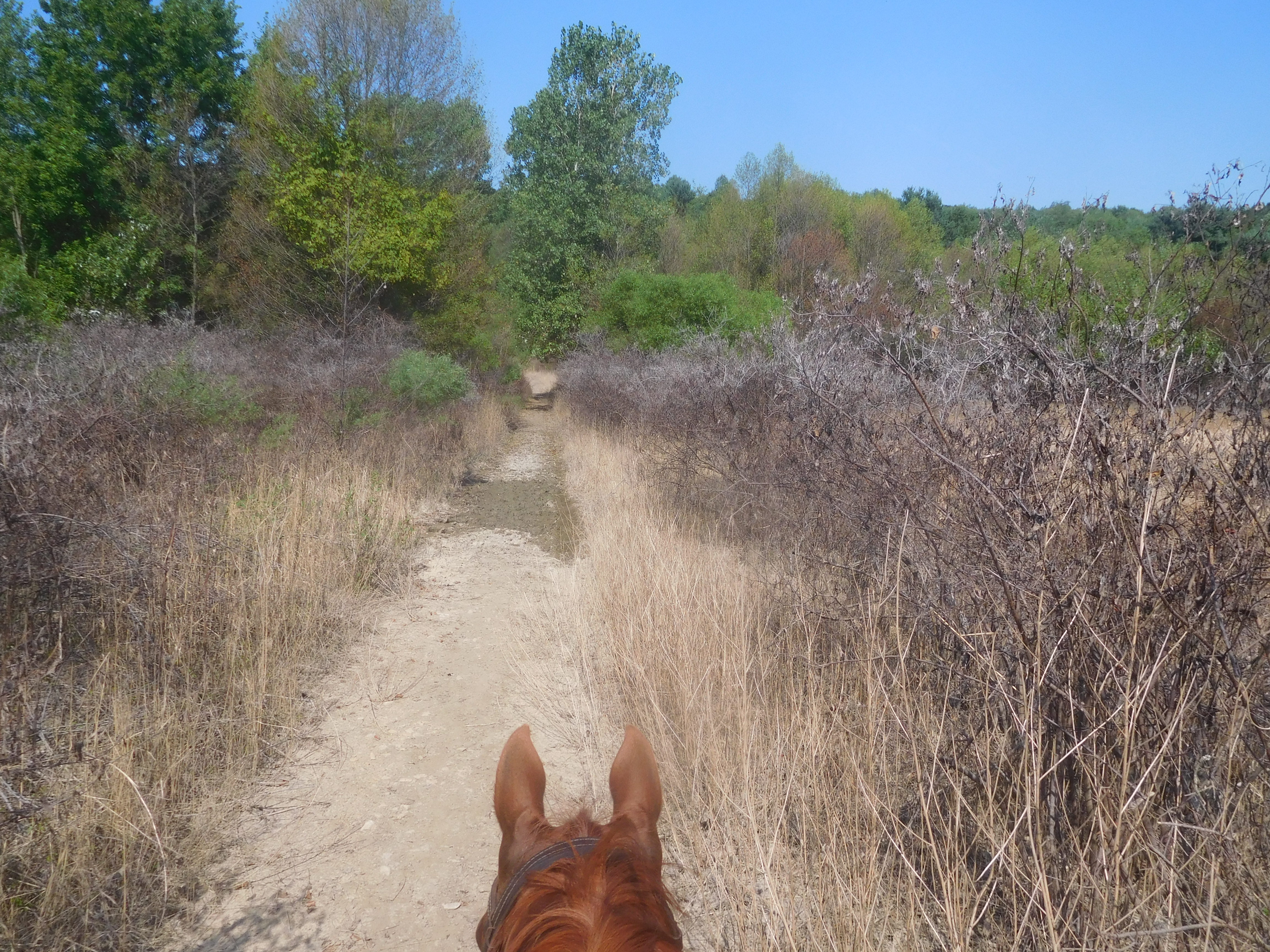
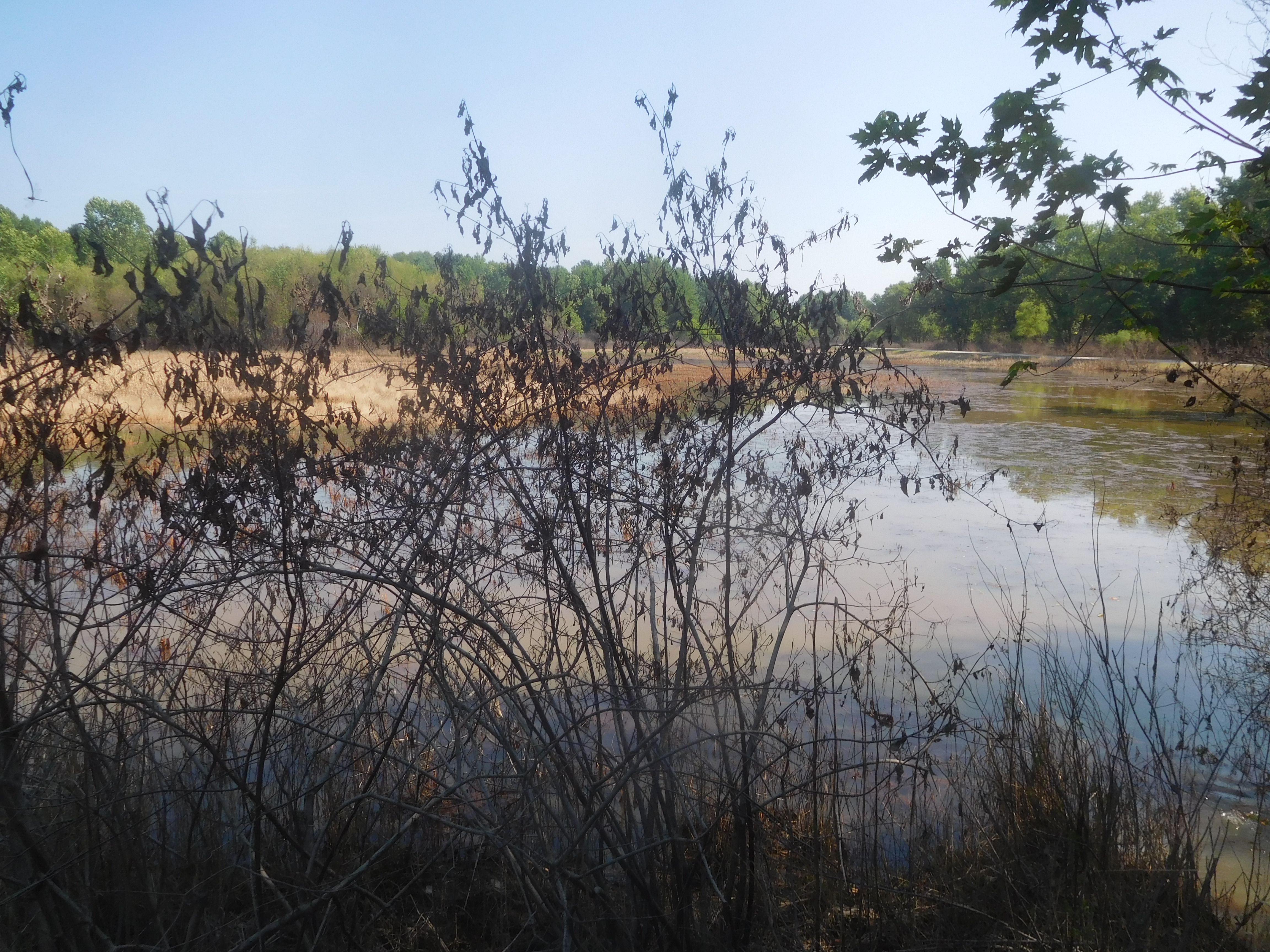

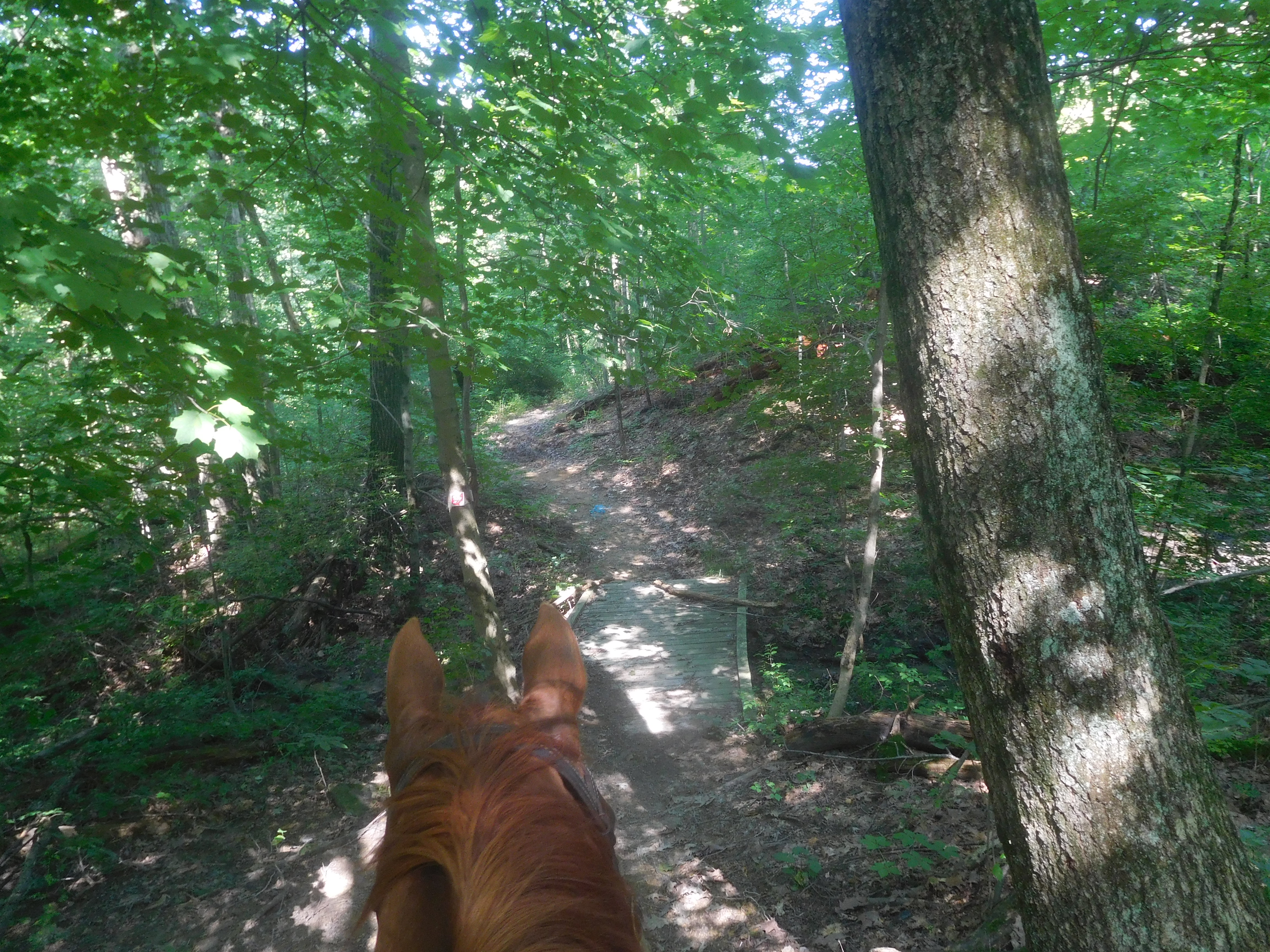
Had another great night sleep, and was up a bit earlier, so I decided I could get a short ride in this morning before dialysis this afternoon. After having my juice with Hubby, I saddled up Apollo (Flash is still a bit gimpy, but MUCH improved!), spoke to our neighbors across the way who were saddling up when I left, who said they were heading north to the country club for lunch, I told them I was going to try to find the reverse of the loop I tried to find the other day, and off I went. Once again, I'm sorry to say, the trails were poorly marked and had NO relationship to the map whatsoever! I headed out what I though was the reverse of the orange trail, only to find I was on the red trail, though they were both supposed to be combined there. After crossing the road and walking on a road to a swamp, I did my best to follow the ribbons, but never found the turnoff for the orange trail (though I learned later that two unmarked trails that I passed were the right ones, but there were many unmarked trails, and I wasn't about to guess when I had time constraints!) I ended up following the red trail, and thought I was in one place, when in fact I was in another. There was less than a mile of better marked trails in the woods, then it opened onto a pipeline easement where the weeds were as tall as my head (on my horse!), with lots of brambles, making me wish I had chaps to wear! I looked diligently for any kind of a turn-off and never found one, and the markers for even the pipeline trail were non-existent. I finally hit a road, and there were red arrows indicating the trail went straight across, so that's what I did. A hundred yards later I was looking at a river with no obvious ford to it, so I came back to what might have passed as a muddy road that had been underwater not long ago, but after 100 yards up that road I still didn't see any markers. As I headed back to the road crossing, still looking for markers, a pipeline employee came by, but he didn't know the trails either, but as we were talking, I saw my neighbors from camp coming down the same trail I had just come! That was weird because I thought they were going north, and I thought I was going south, I guess it turned out we were both going west! Well, they tried to find markers, too, with no luck, and we went for a short stretch along another pipeline easement that dead-ended, and since by now I had been out nearly two hours (which was what I had intended the entire ride to be!) I was forced to give up and make a linear retreat, something I absolutely hate to do when there's a loop to be found! I just couldn't afford the time any more, so I left the couple to keep exploring while I hoofed it back to camp. Grrrr!!! So frustrating! In this day and age, there's just no excuse for such a poor map, and equally poor trail markings. Some of the worst I've ever seen, and I've seen some pretty bad ones in my day! When I got back and overlaid my actual route over their trail map on Google Earth, literally, the only thing that lined up was the little bit of time I spent on the road. That's it. Everything else was way off! When I got back to camp, one of the trustees was talking to Hubby, and I mentioned the fact that I had been out twice and gotten lost half a dozen times on each ride, she got understandably defensive, but couldn't offer anything but some pretty poor excuses, and proceeded to explain to me that the reason I couldn't find the trail markers was because the pipeline company had put a stone wall over their trail to keep ATVers out of a cemetery, but all I had to do was turn left (the opposite of the way it shows it on the map) to go around the rocks and through the cemetery, and then I would find the rest of the markers for the red trail. Well, that's all fine, but how is someone who doesn't know that figure that out?? So frustrating!! Later, after dialysis (which was a good one today!), I went and chatted with the neighbors to see if they ever found those markers, and they didn't either, saying they turned and went down that road for a bit until they finally found where another trail crossed and picked up the blue trail, but never found the orange or the red trail as they had planned. They emailed me their GPS data and when I laid it on my Google Earth map, it left me speechless, which is saying something! There is not one bit of trail that lined up with markings on the map. Not one! Where the map shows the blue trail as a nice round loop, the actual trail is a squiggly, many sided thing that's almost the shape of an 8, and isn't even in the same vicinity as what's on the map! I've seen some bad maps, but these have to be the worst ever. I can only think that it's deliberate, that the locals don't really want casual riders from outside to come in, and if that's the plan, it's working, because no one is going to put up with being that frustrated for very long. I've vowed to ride every trail in the next three months when we come back here, and make my own map, so at least I won't get lost again, and hopefully, I can pass that along to other newbies in need. Very annoying. Anyway, after our good dialysis session and playing a bit with Lola, we settled down to a couple of short programs before heading to bed. Hoping for yet another good night sleep, but there is a line of thunderstorms coming our way, still debating where I should put Lola in the truck or not, because at the first sign of lightning, she'll be scratching at the bedroom door. Anyway, bedtime!
Speak Your Mind