 |
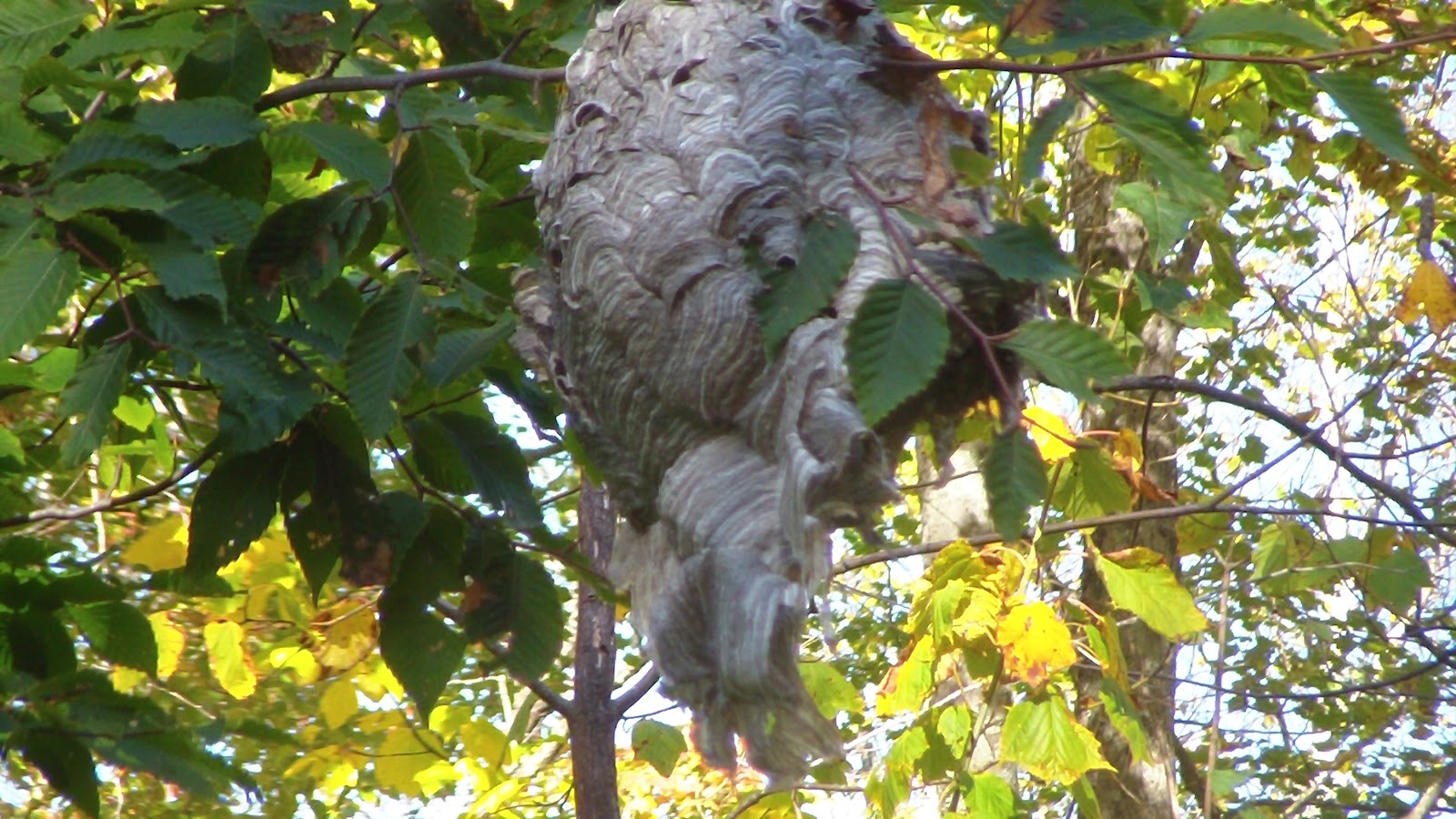
| Some kind of hive? |
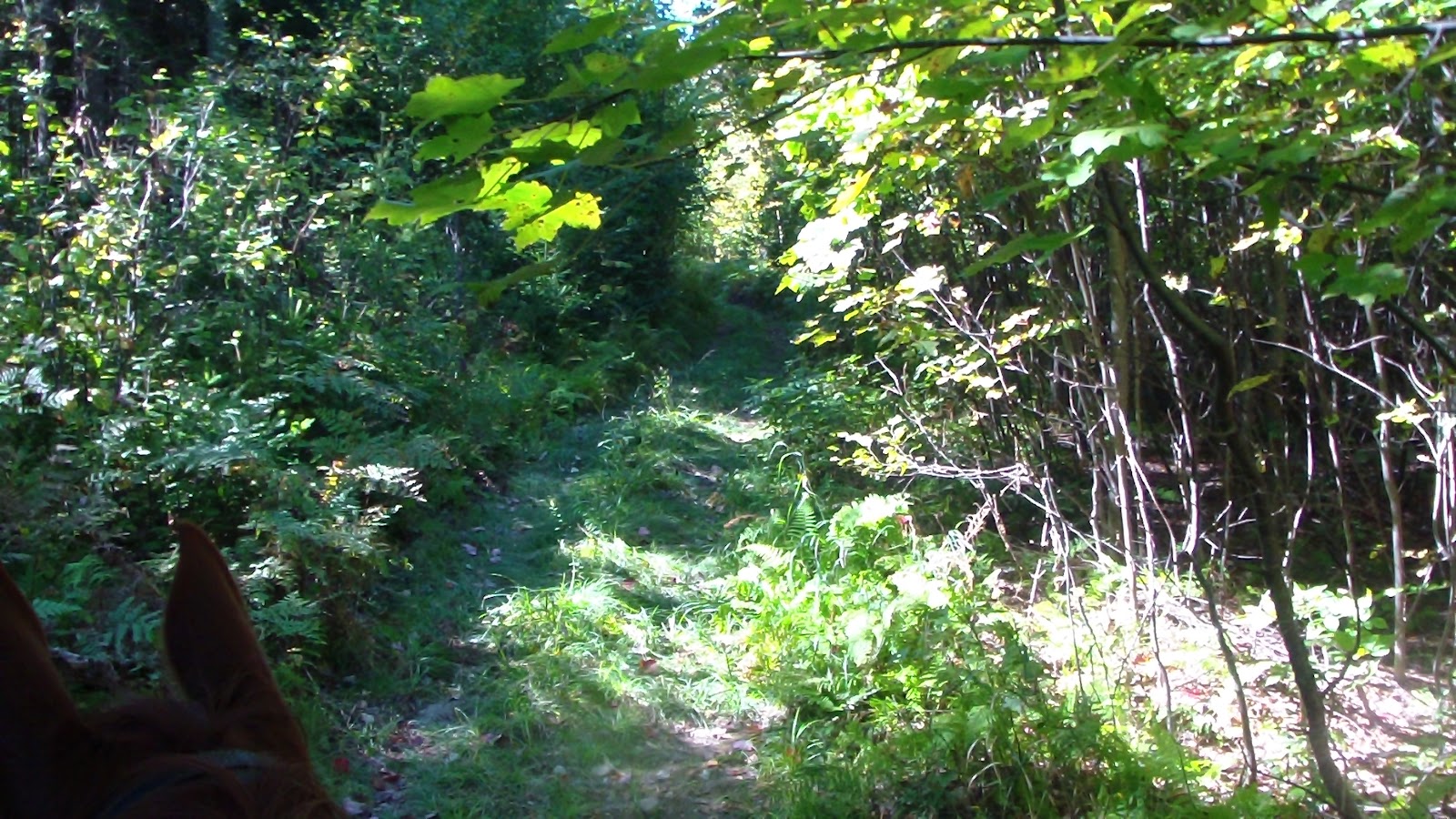
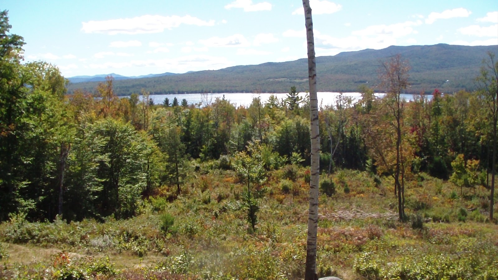
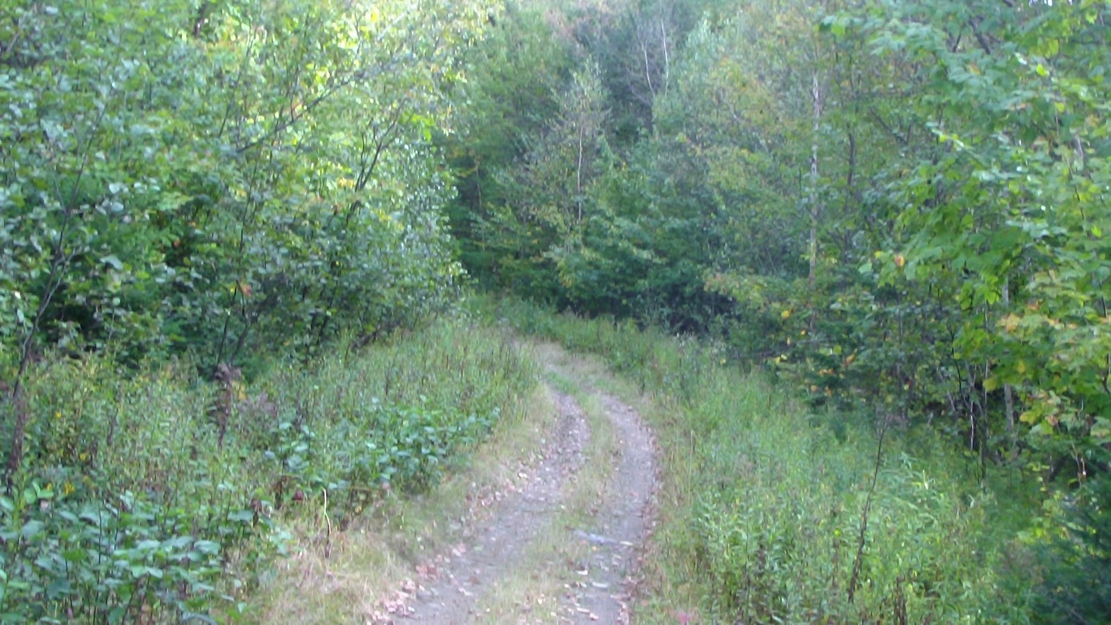
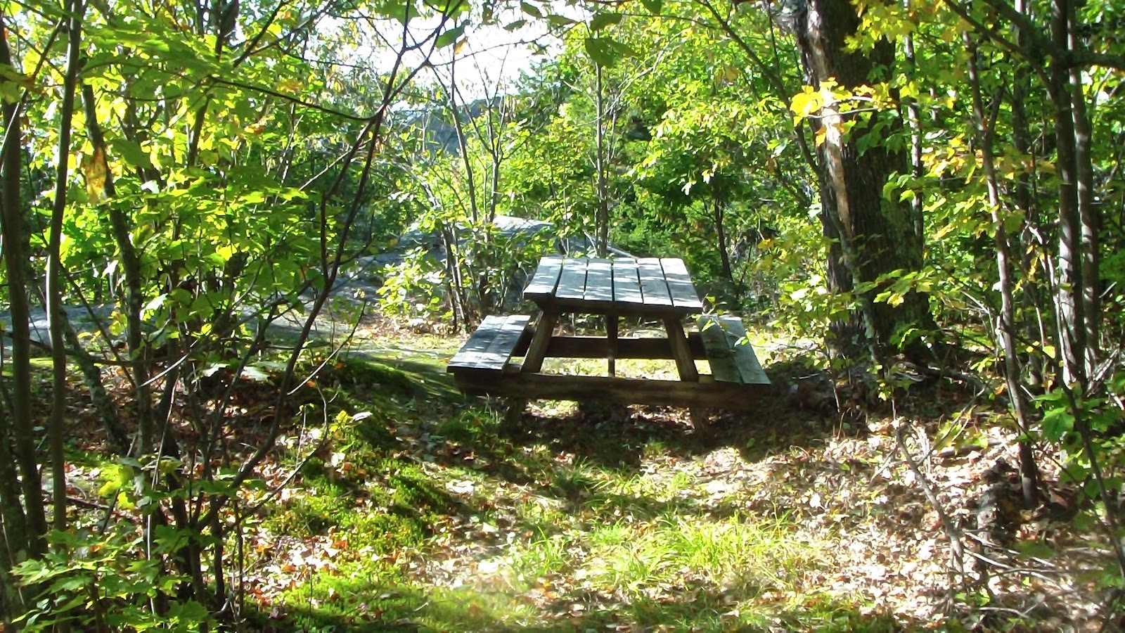
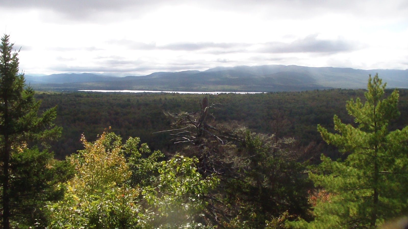
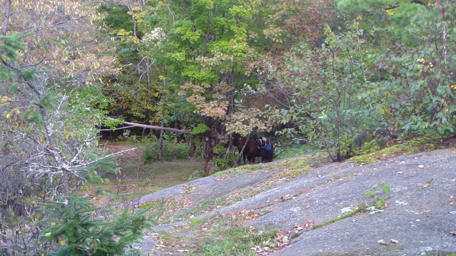
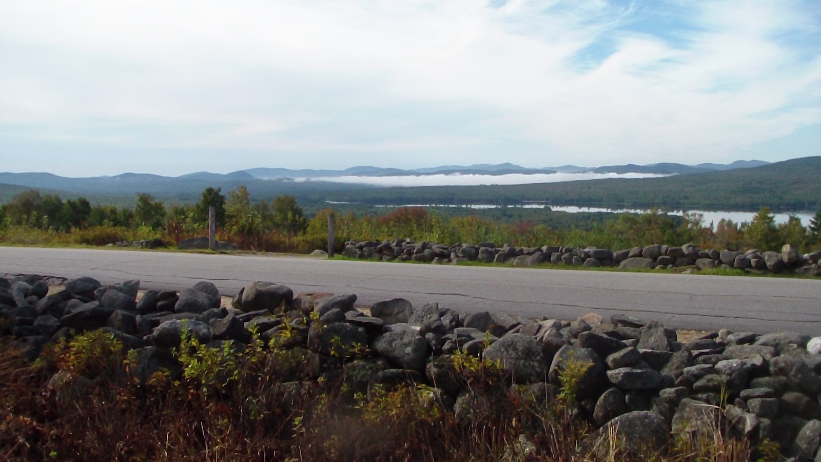
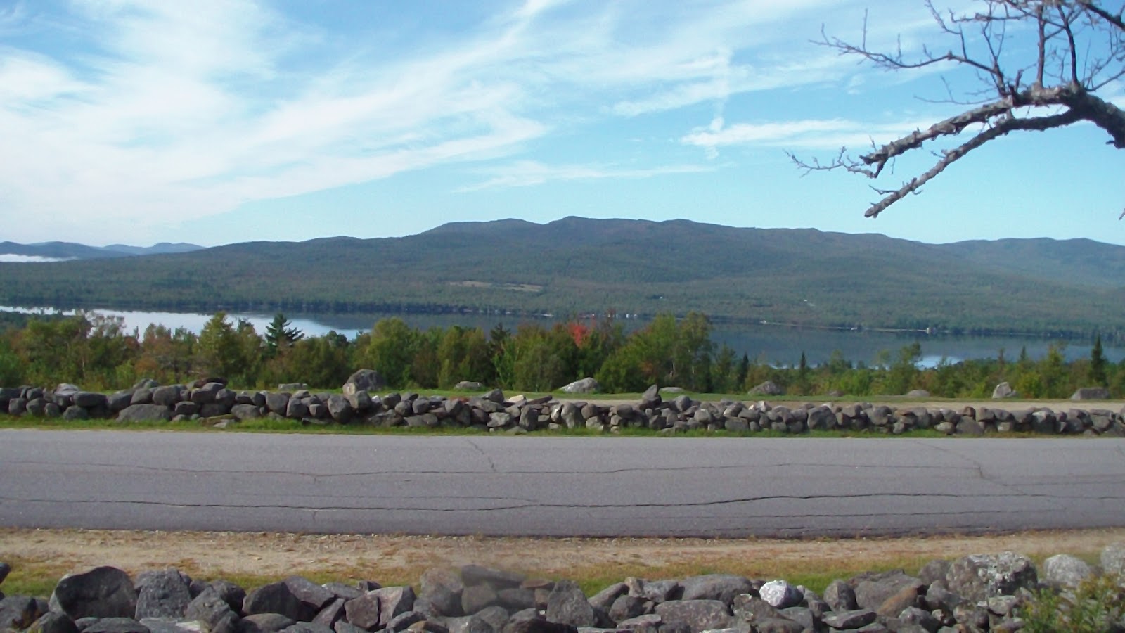
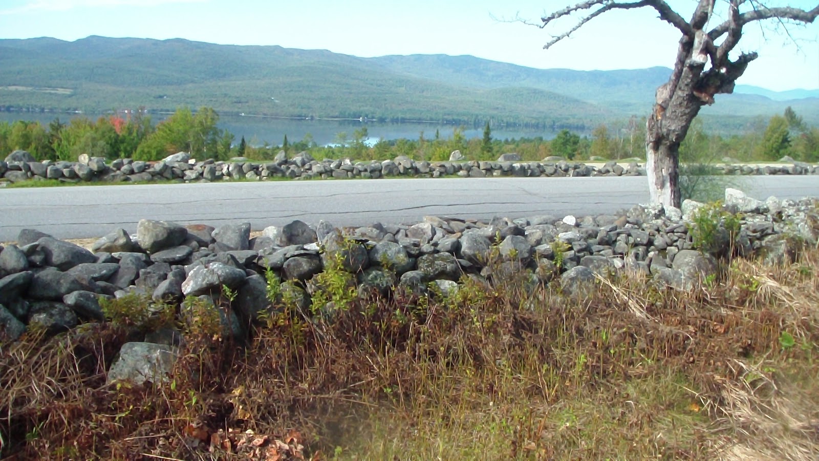
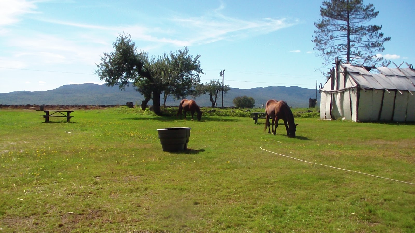
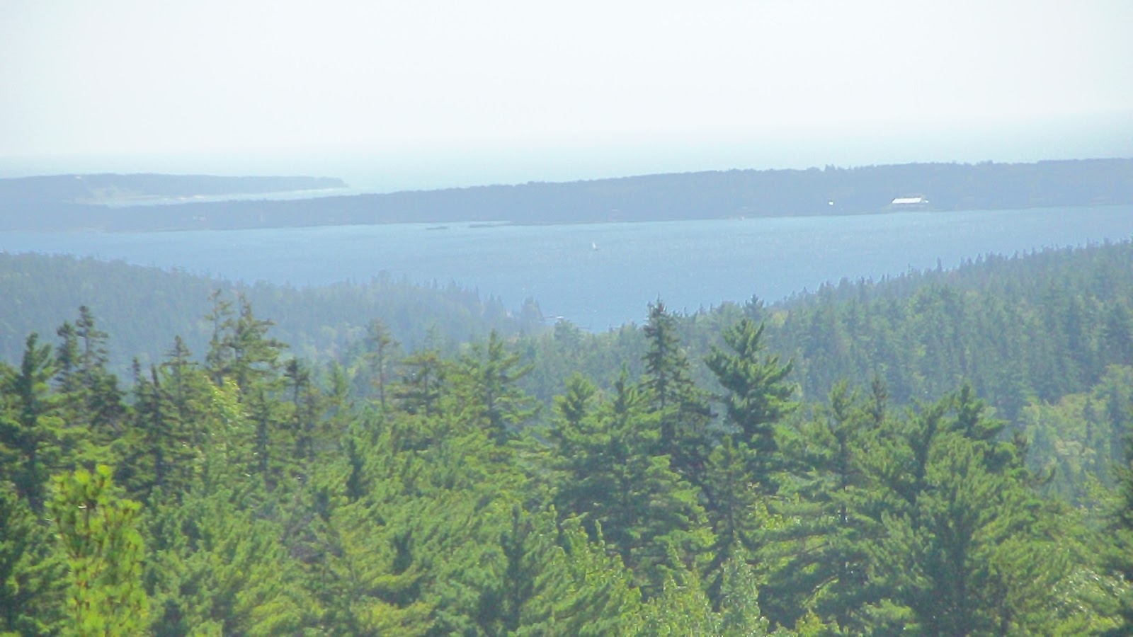
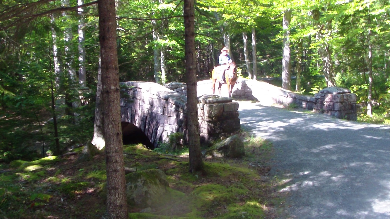
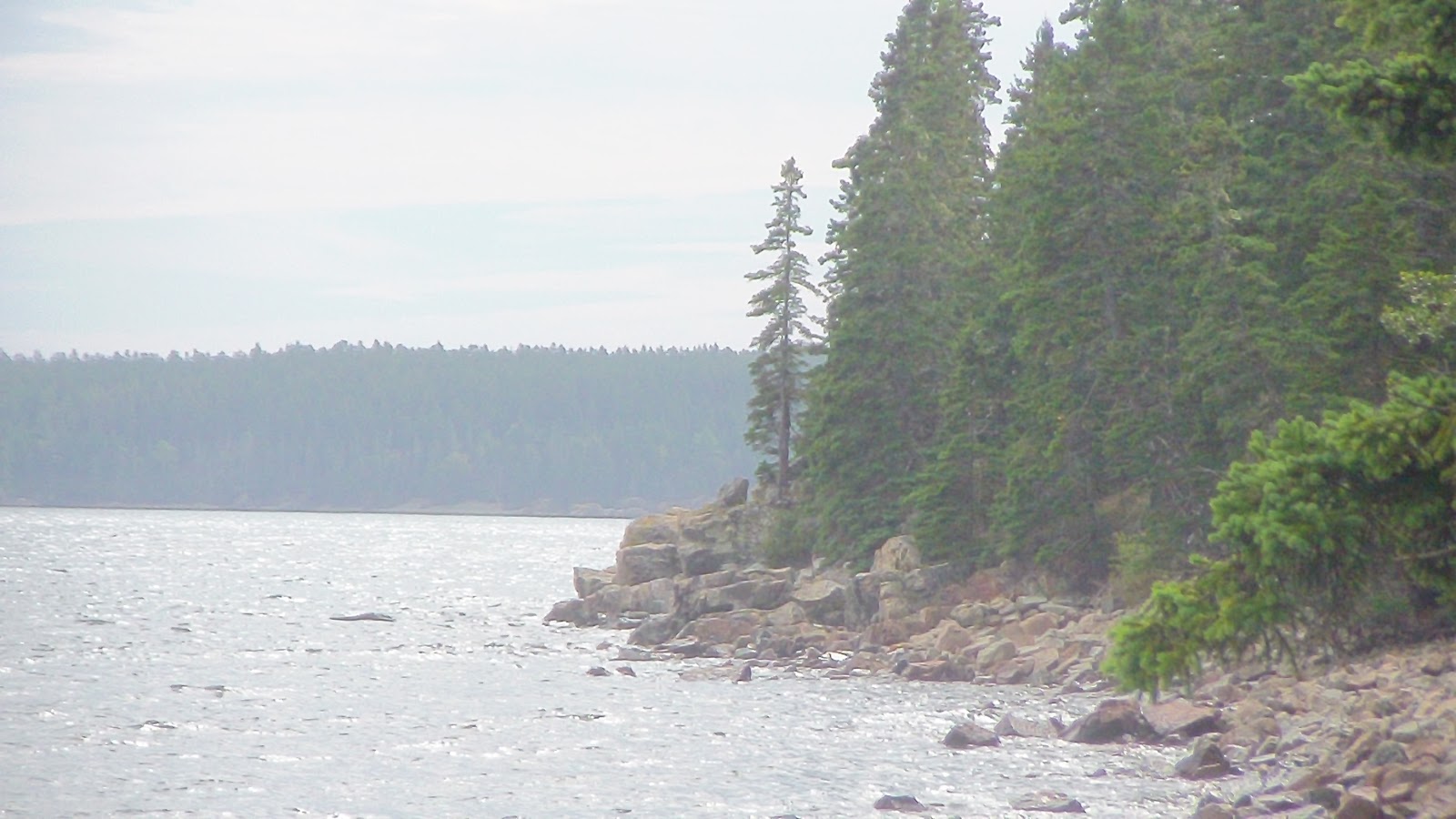
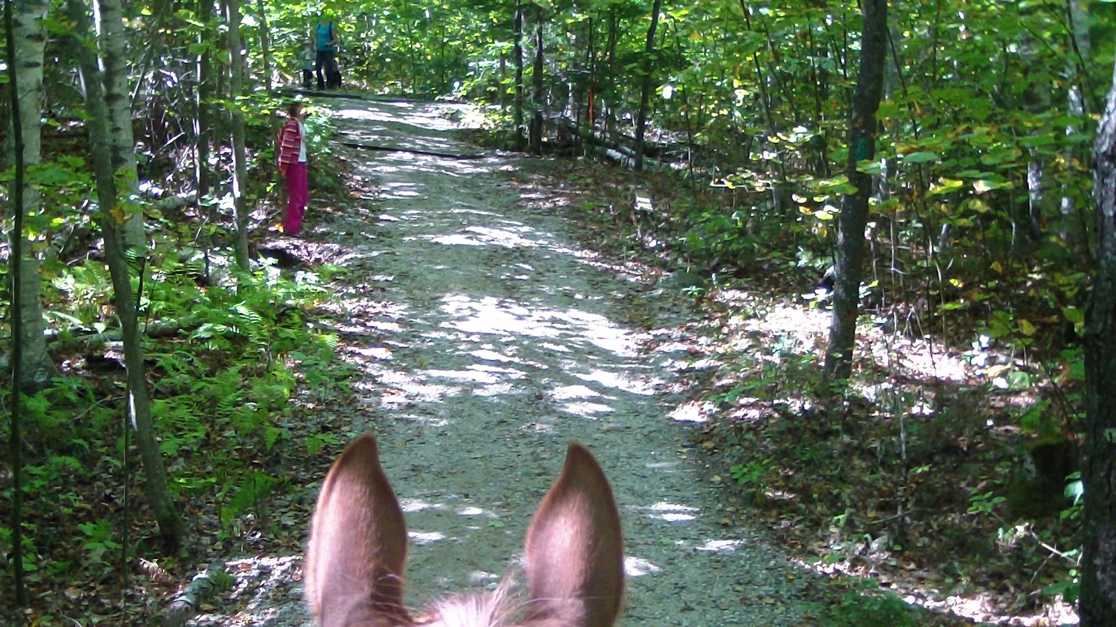
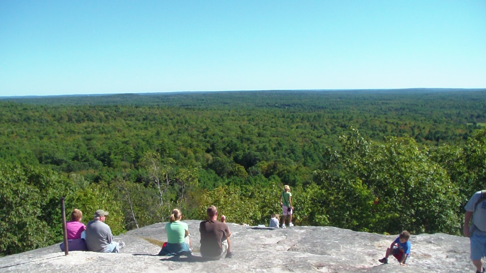
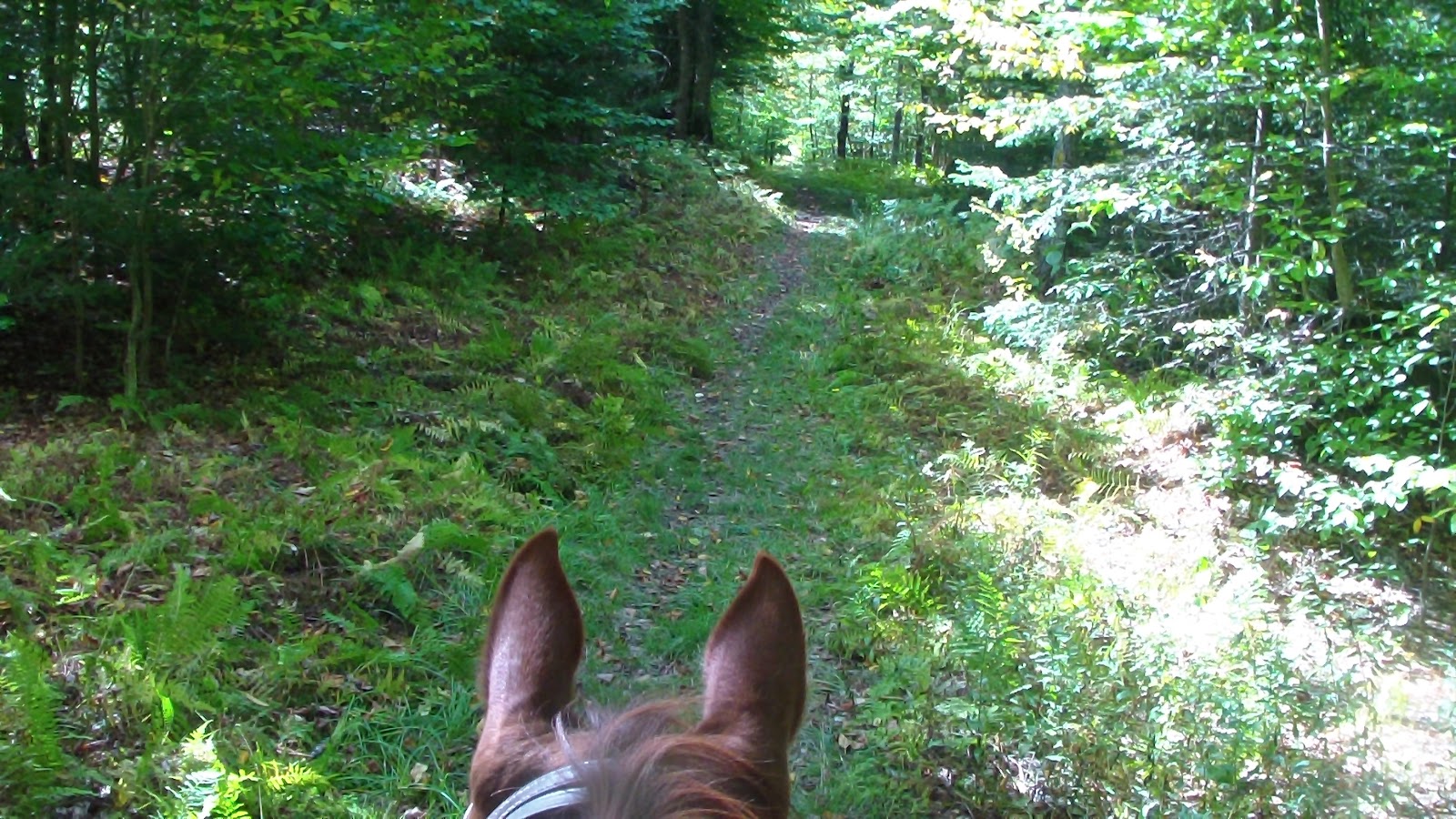
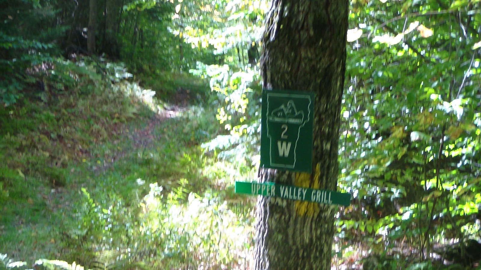
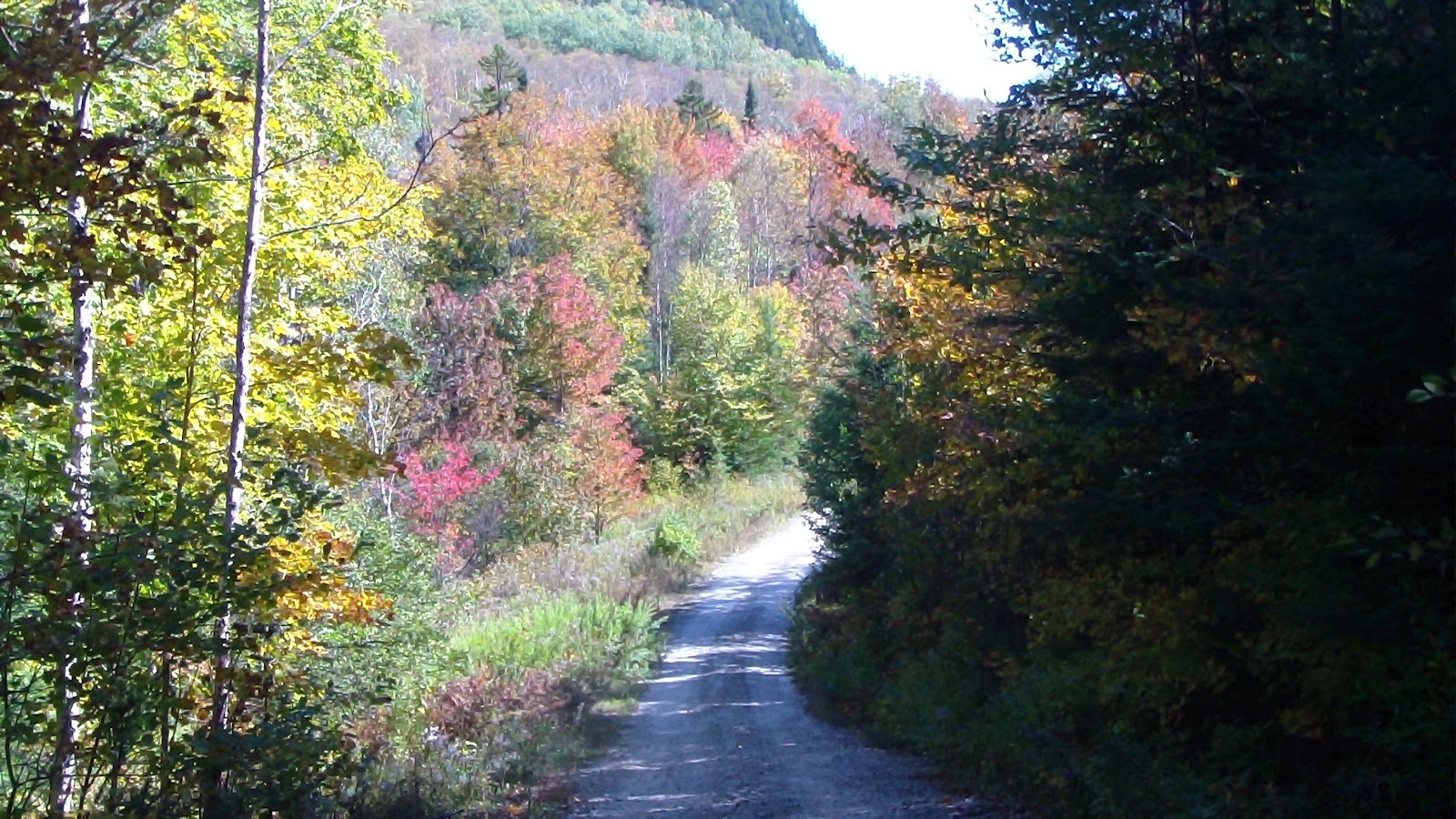
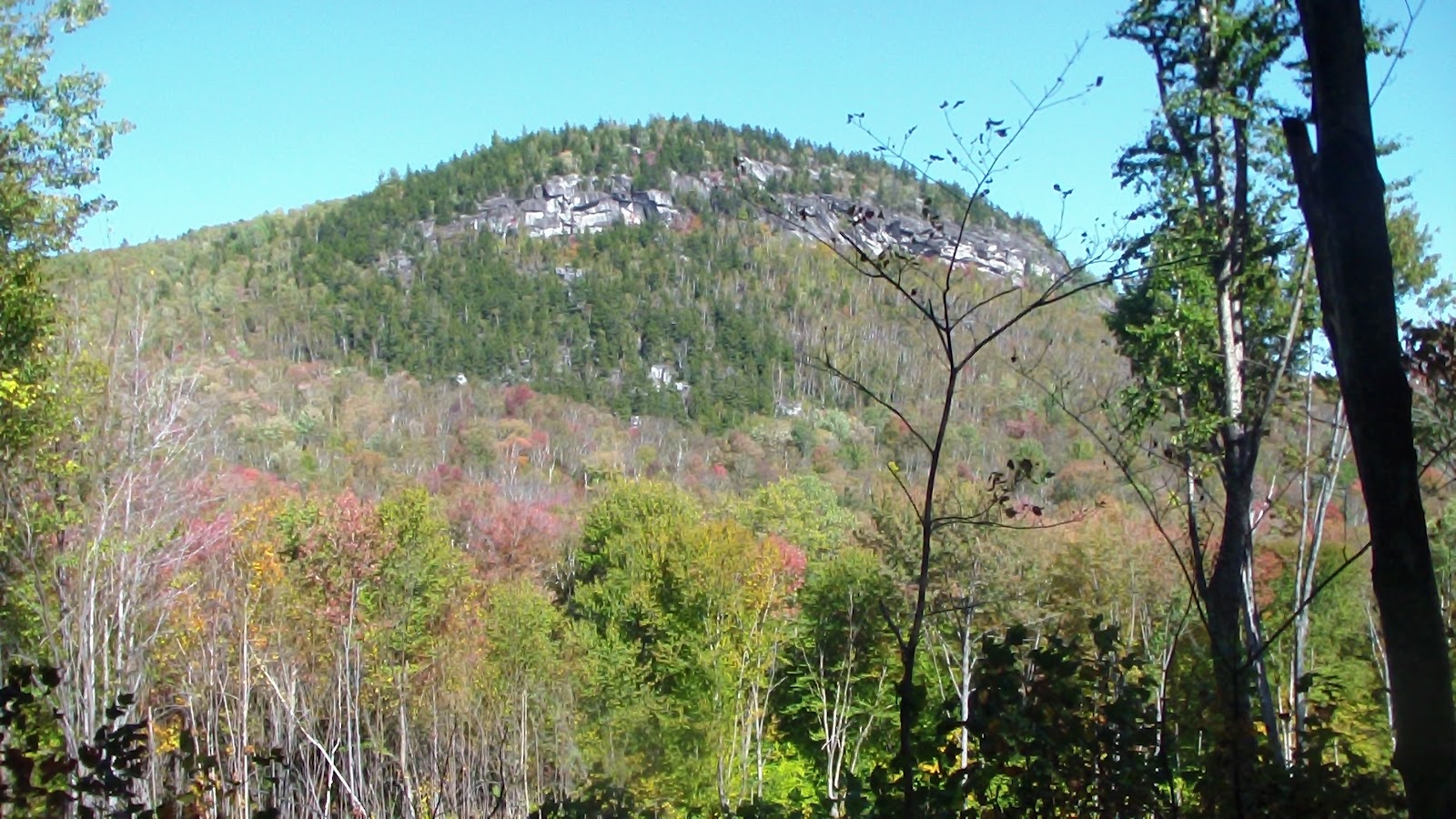
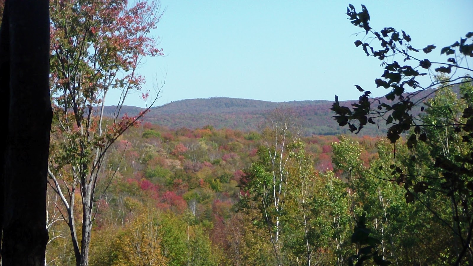
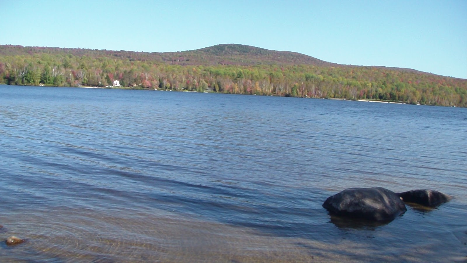 Got up at our usual, non-travel day time (about 9:00), though Hubby had to slip out of bed a half hour earlier to turn on the furnace. It had been a cold night, and we were glad the horses had on their winter blankets. After a leisurely breakfast, we had a discussion about where to ride today. We had two versions of the trail maps from here, and they didn’t agree on a lot of points, with lots of multi-use trails that suddenly changed into hiking trails, or dead-ended, or became forest and sometimes even county roads. I finally managed to chisel out a loop, and downloaded it onto my GPS for backup. As we were saddling the horses, a young ranger I had spoken with yesterday came over with another set of maps that Karen, one of the workers here, had highlighted for me. I was pleased that the trail I had planned was almost exactly the same route, so off we went, fairly certain we wouldn’t have much trouble following that route. Alas, it didn’t quite work out that way. We were delighted with the first part of the trail, it being more of a trail and less of a road that we thought it might be, but before long, we ran into our first map problem. After passing through a parking area, which we expected, we soon came to a road, which we also expected. According to the map, we were to take a left and cross the main road, 232, to the trail on the other side. We crossed the road, but couldn’t find the trail. Worse, when we crossed the road, we were at the entrance to a place to Owl’s Head, which, according to the map, should have been some distance north of the road crossing that we were supposed to be making. Since I had based my GPS directions on the inaccurate map, that didn’t help much. I finally decided we would go back up the road in the other direction and see what happened. Before long, we were approaching what was obviously private property, and were almost ready to turn back when I saw an intersection ahead with what looked like street signs of a sort. When we got to the intersection, we saw another road sign assuring us we were on Lanesboro Rd., but it also indicated the crossroad we were facing was the Cross Vermont Trail. Well, we knew we wanted to go south, so we turned left and followed the trail in that direction. We soon ran into some bikers, but they were just visitors and couldn’t help us, and in fact, they thought they might be lost, too. Anyway, it was obviously a rails-to-trails road, but they put a really nice footing on it, so it was a nice ride, partly circling a large pond, until we came to an intersection. We knew we needed to go east at some point, and the GPS seemed to indicate this would get us back on track, so we turned left again, heading downhill for quite some time until we ran into 232 again. This time when we crossed it, we clearly found the trail we were looking for and breathed a sigh of relief. Again, it was long and straight, right through a beautiful forest, so picturesque with the trees all turning colors, it almost took our breath away. Got in some lovely trots and canters as well, it being so straight and wide. Eventually we reached our next left turn, which took us toward a campground by a lake. Again, the map was vague, and we wandered through the campground for a while, watered the horses at the lake before deciding to take a little hiking trail with a sign that said “to store.” It got too narrow, but paralleled the road, so as soon as we could we moved out, passing the general store (closed), passing the Big Deer campground, running into some road traffic along the way, before finally reaching the Nature Center, which, according to Karen’s map, would lead us to another trail that would bring us north again. We circled the Nature Center looking for a suitable trail, and found only two trailheads, both of which seemed to narrow and close for horses, but we finally found one that had the name of the trail we thought we needed, Hosmer Brook, and headed out on it. It was narrow and rocky, and at one point, there was a 6-inch diameter tree across the trail with no safe way around it, so I got out my trusty folding camp saw and spent 10 minutes cutting it and pushing it out of the way. Soon afterward, we came across a bog that only had a two-plank, loose boardwalk, which was not suitable for horses either, but since our horses are so experienced, they managed to get across okay, with Apollo only slipping once on one foot in the back but quickly recovering. That horrible trail finally ended up on a newly-bulldozed trail, again with no markings, so first we went right, thinking that would take us north, but then I didn’t trust the newness of the trail, so we turned around and headed left instead. That bulldozed section soon met up with an older established trail, and, at last we found a trail marker indicating we were coming out of multi-use trail! We took that trail north, and seemed to finally be on the right track on something known as the Telephone Line Trail. That ended at another intersection that had no markings, except for the trail from which we emerged. We knew we were close to the campground, but wasn’t sure if we needed to go straight or turn left. We turned left, but then my GPS indicated we were heading too much west and not enough north, so we turned back and sent straight for more than a mile, before once again deciding we were on the wrong track, and had to turn around again. By this time we were exhausted, having been in the saddle for more than 4 hours, and not in the mood for more map mistakes. We headed back to the intersection and took the road we thought was going too westerly, but it turned out to be correct, and that we were only about a quarter mile from the campground. So far out of our way, just because they didn’t have a sign or a trail marker indicating the way back to camp! So even though the trails were very enjoyable, and there were many more of them than the map indicated, the day was a bit spoiled because of all the map and trail marking failures. Very frustrating, but then again, we’ve been to so many places like this, we’re almost used to it. It wouldn’t take much to fix the problem, we’re just at a loss as to why so many places don’t take marking their trails or making good maps for their visitors more seriously. Quite frankly, I expect that will be our next career, making maps for parks who can’t or won’t bother. Anyway, got the horses fed and settled in, including winter blankets as it’s supposed to rain and get cold overnight, fed the dogs and the family, and had a relaxing, or rather, exhausted, evening.