Archives for September 2012

Saturday, September 29, 2012 – Ride Day in New Hampshire

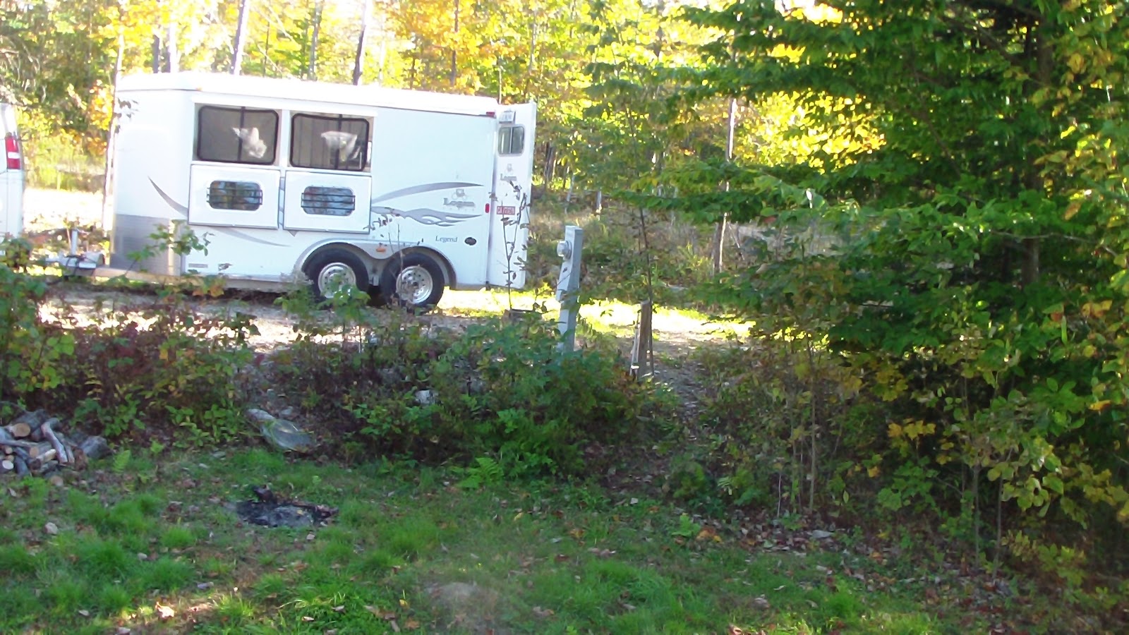
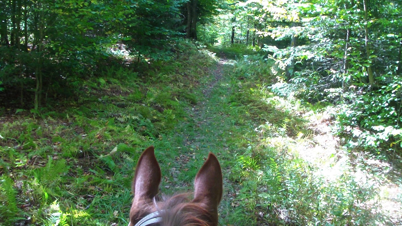
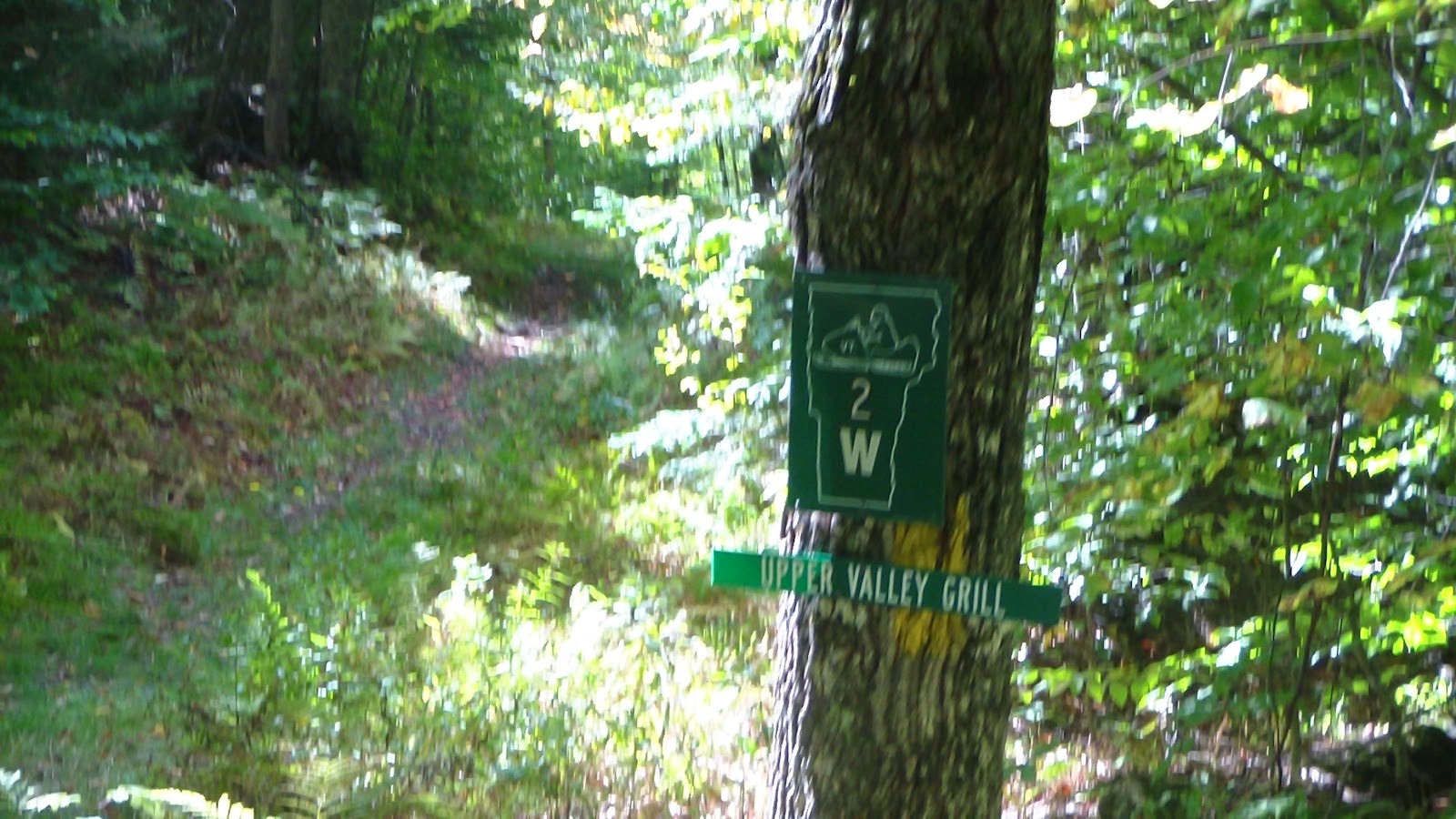
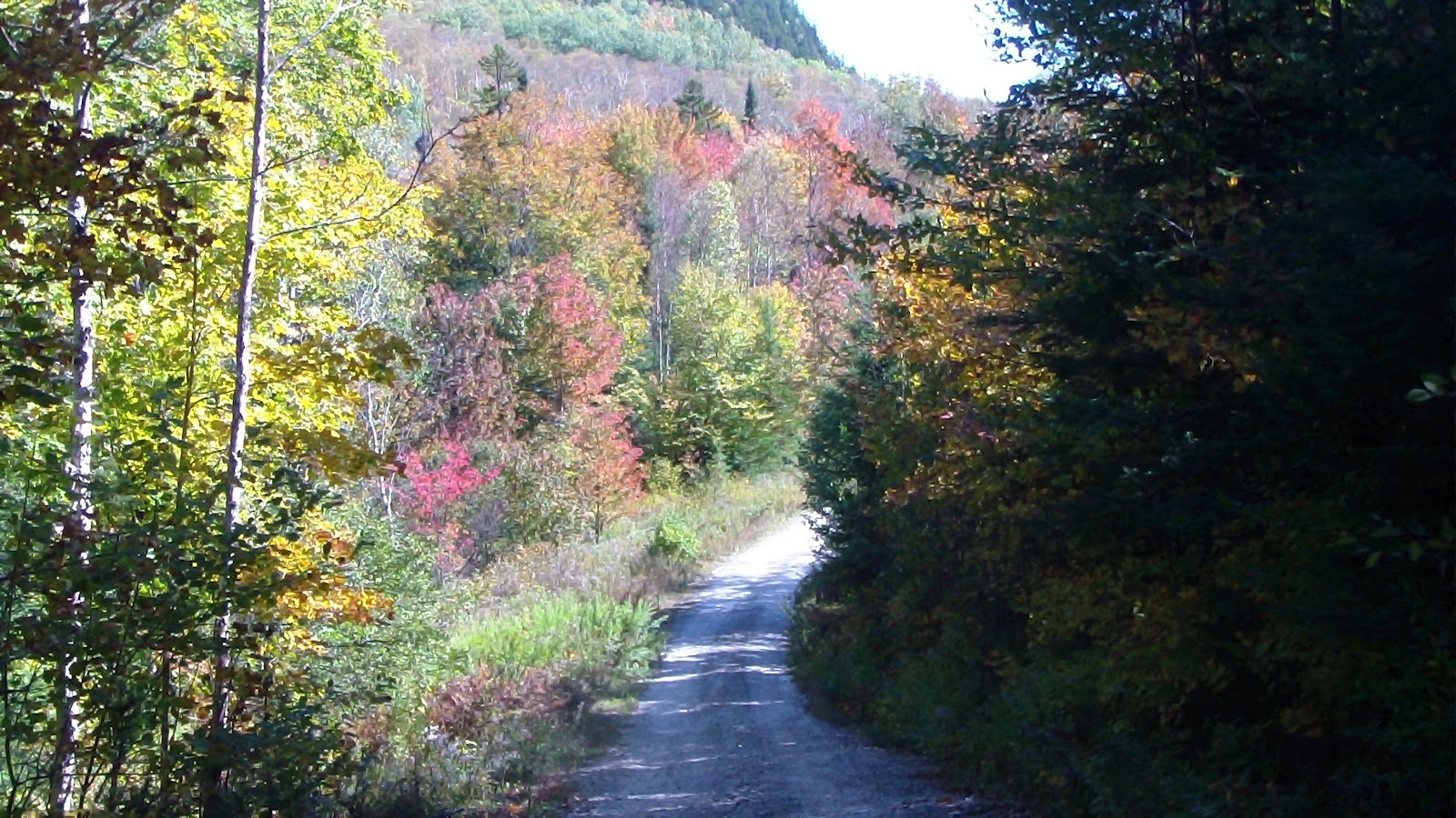
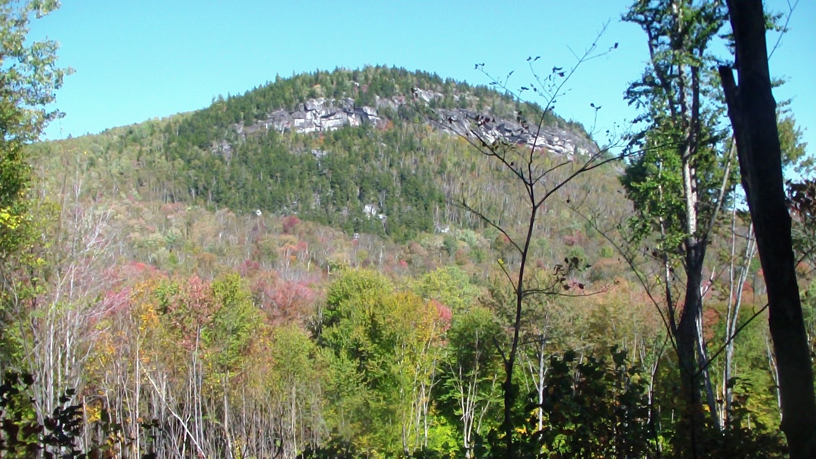
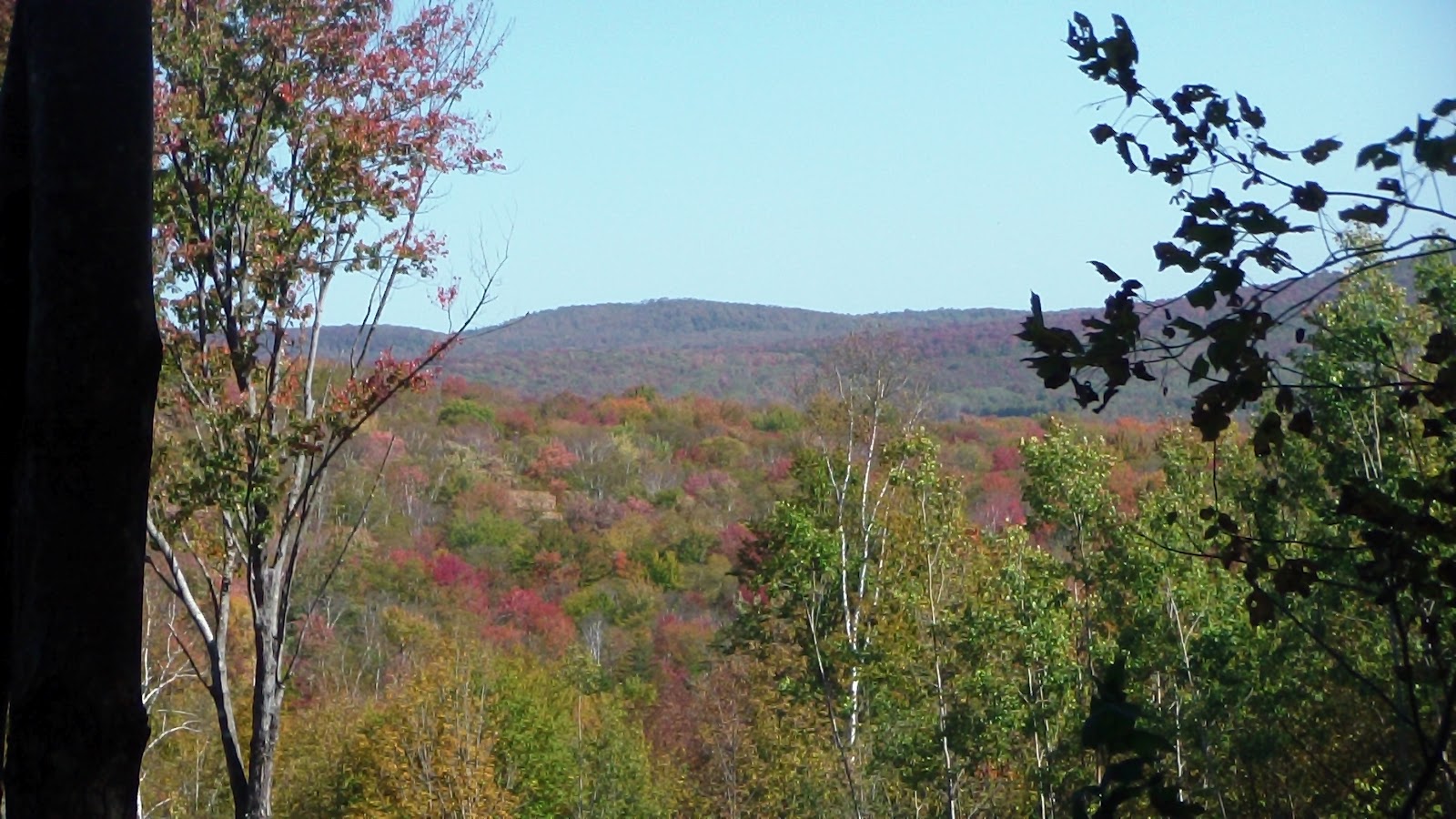
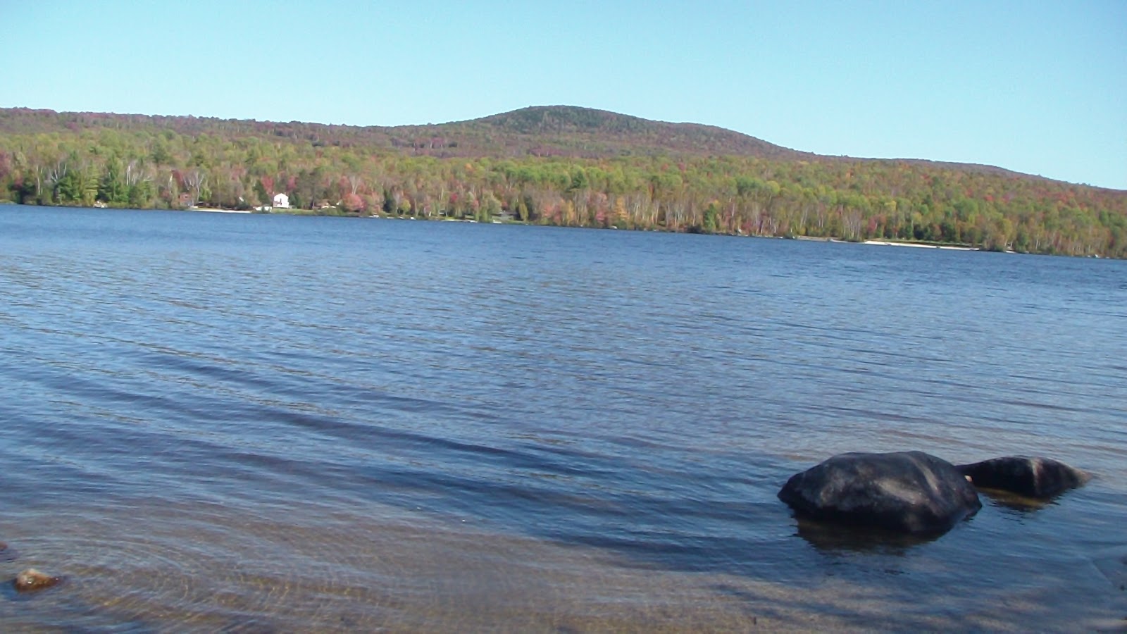
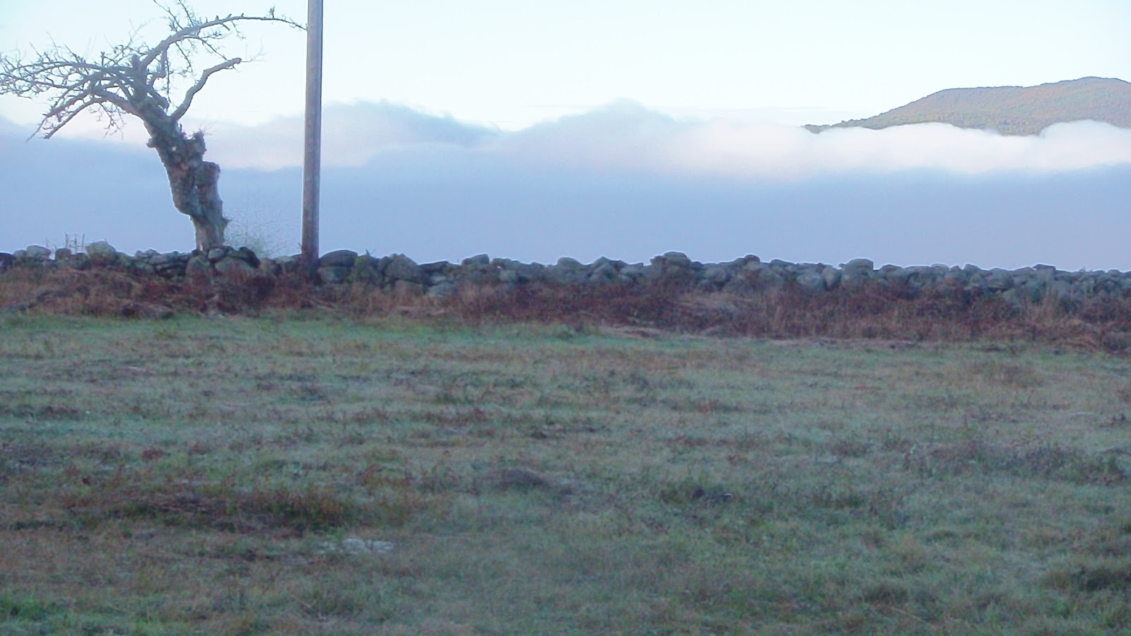
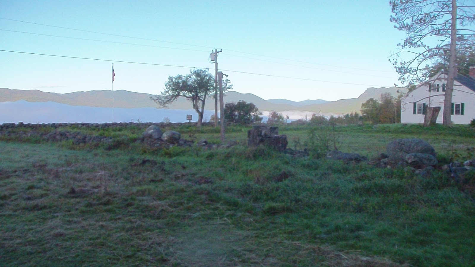
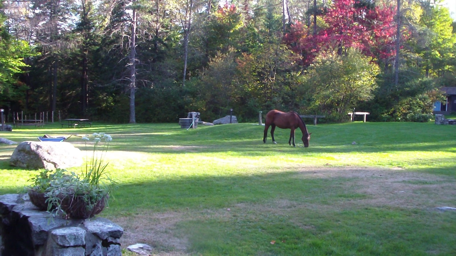
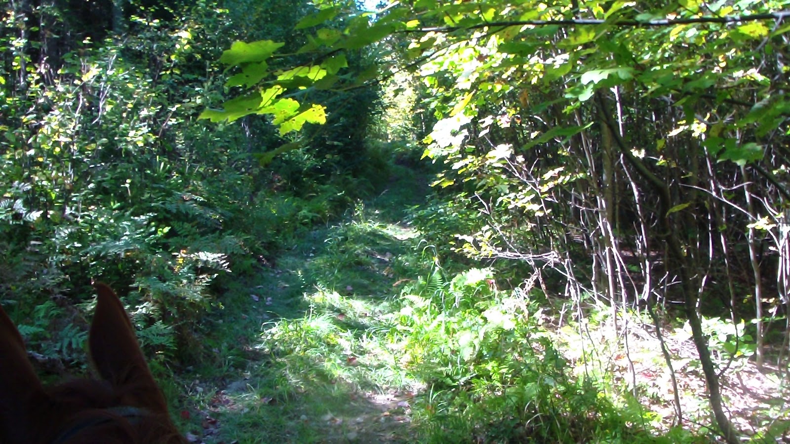
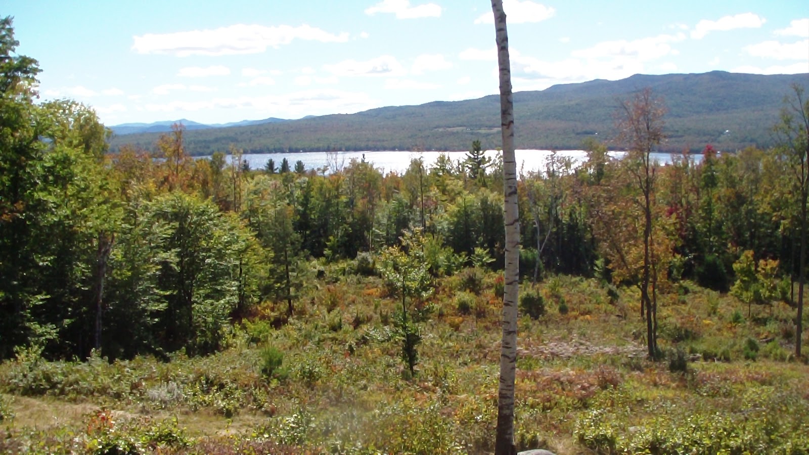
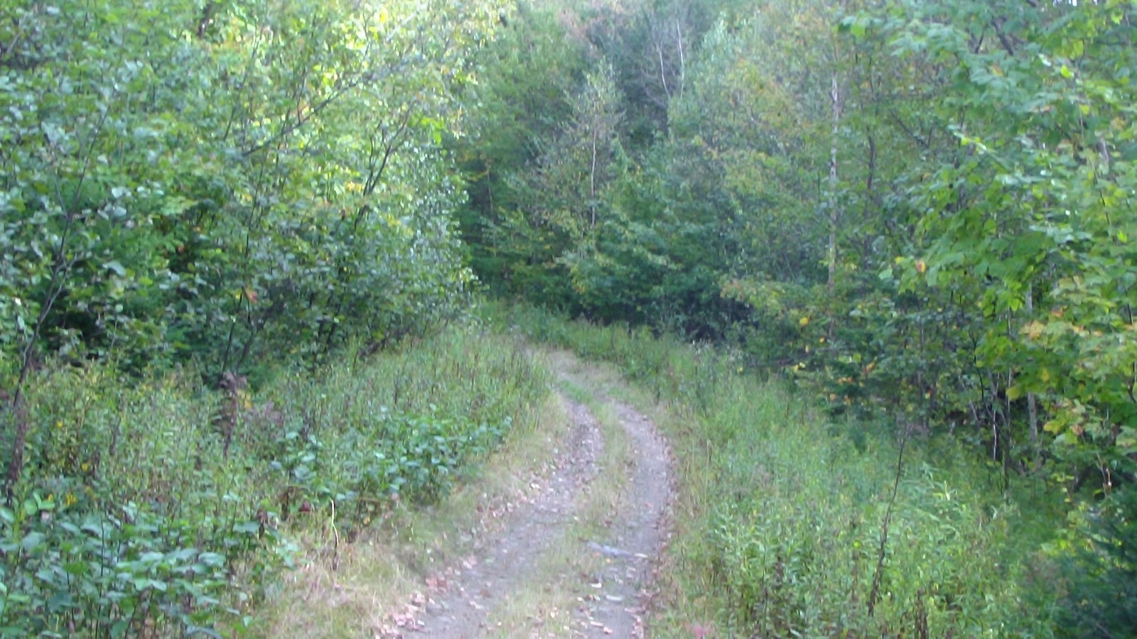
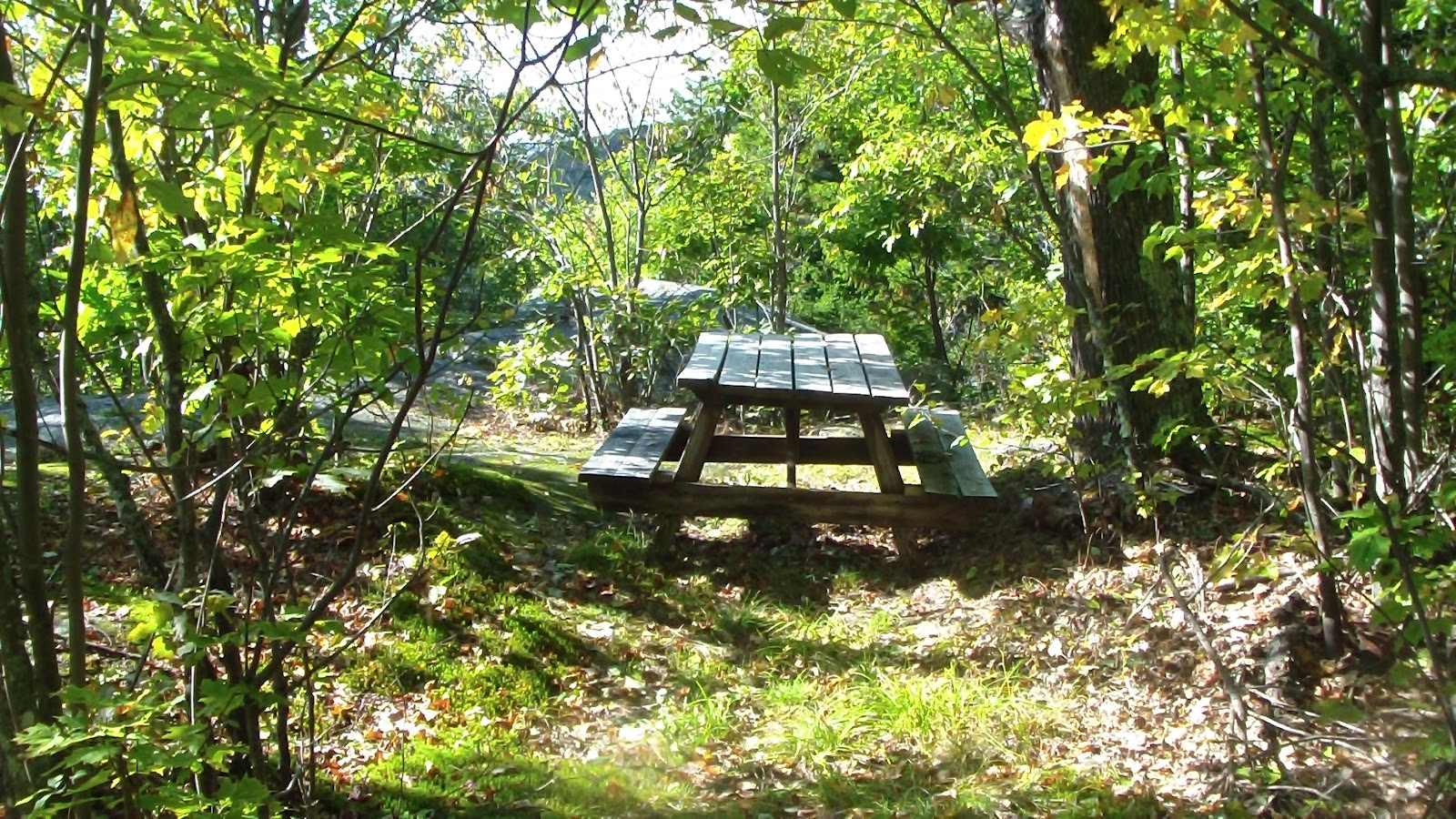
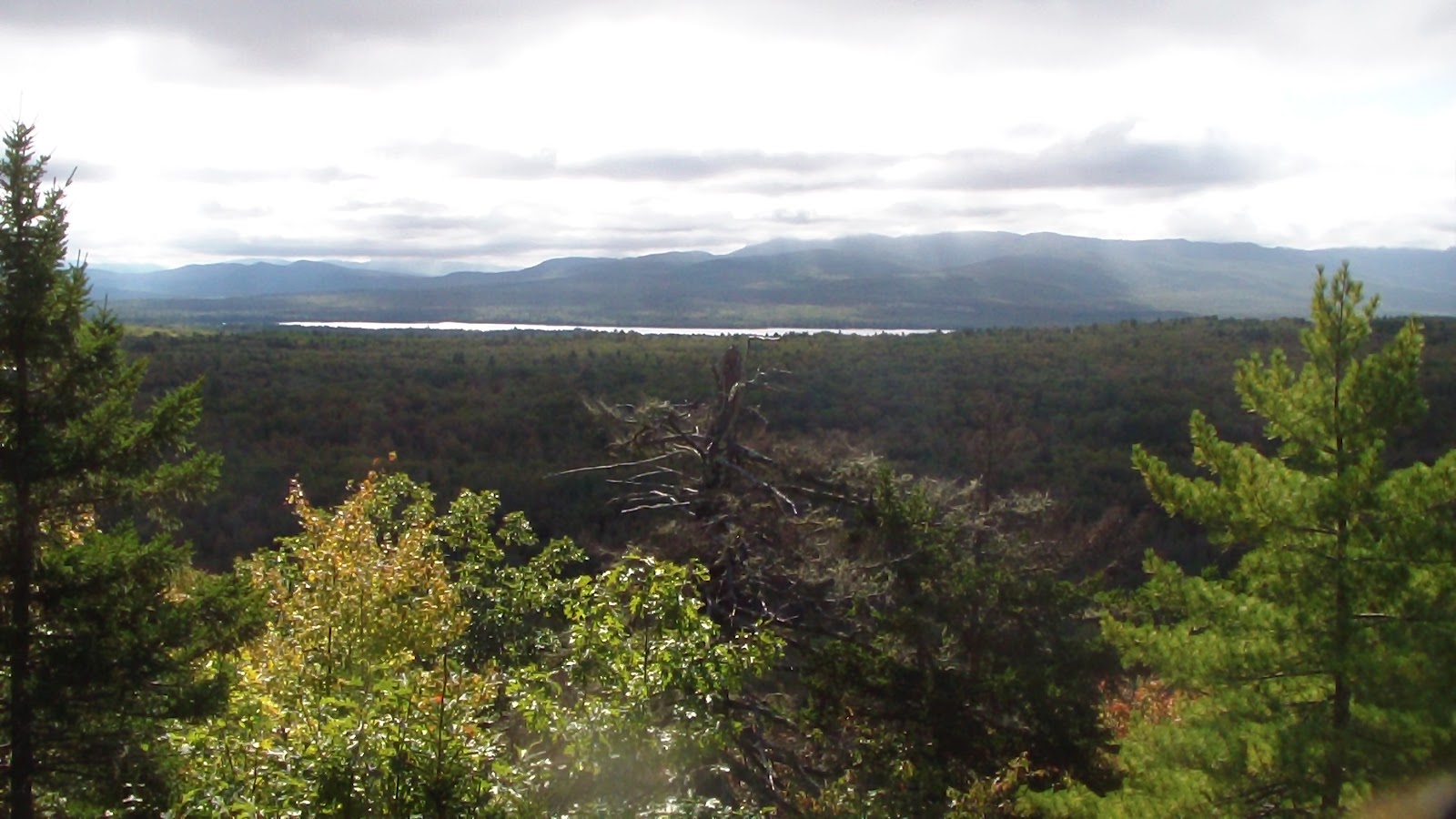
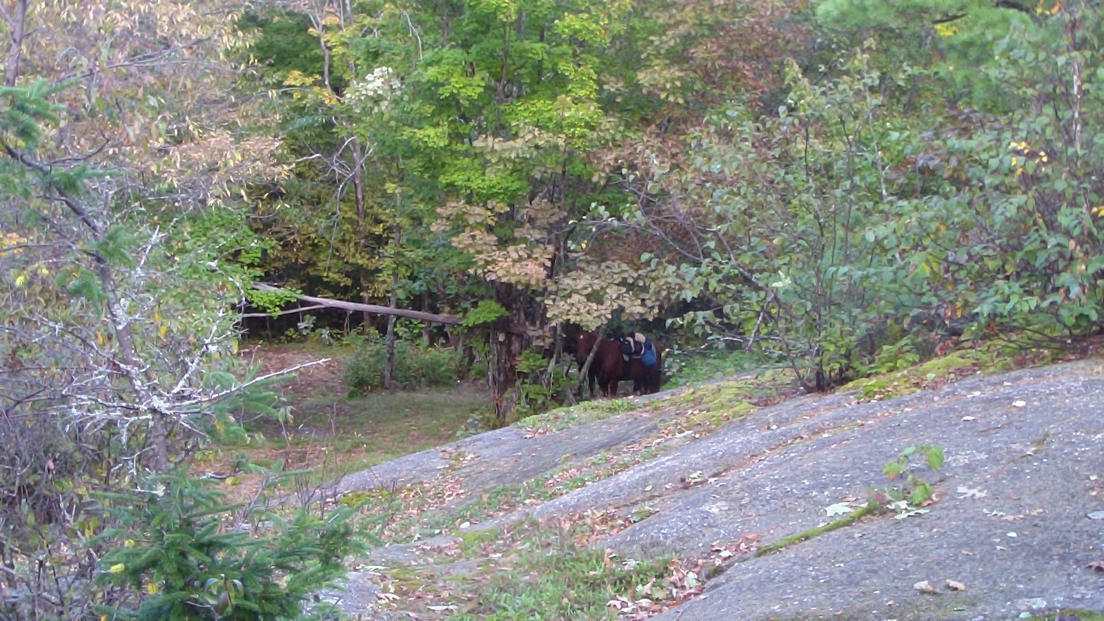
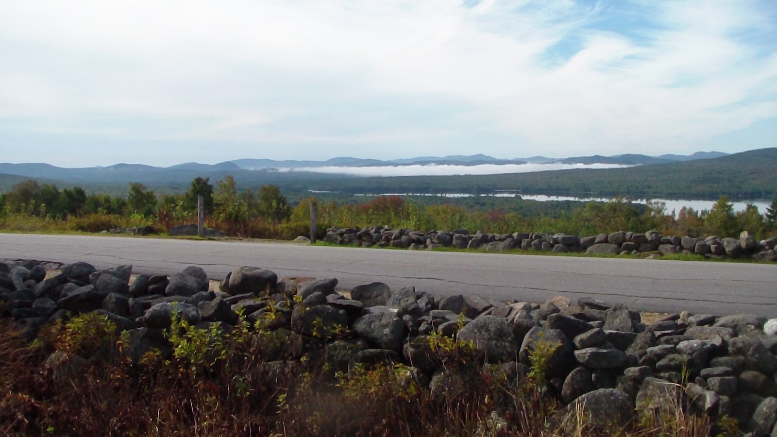
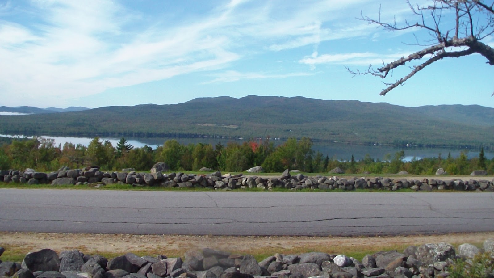
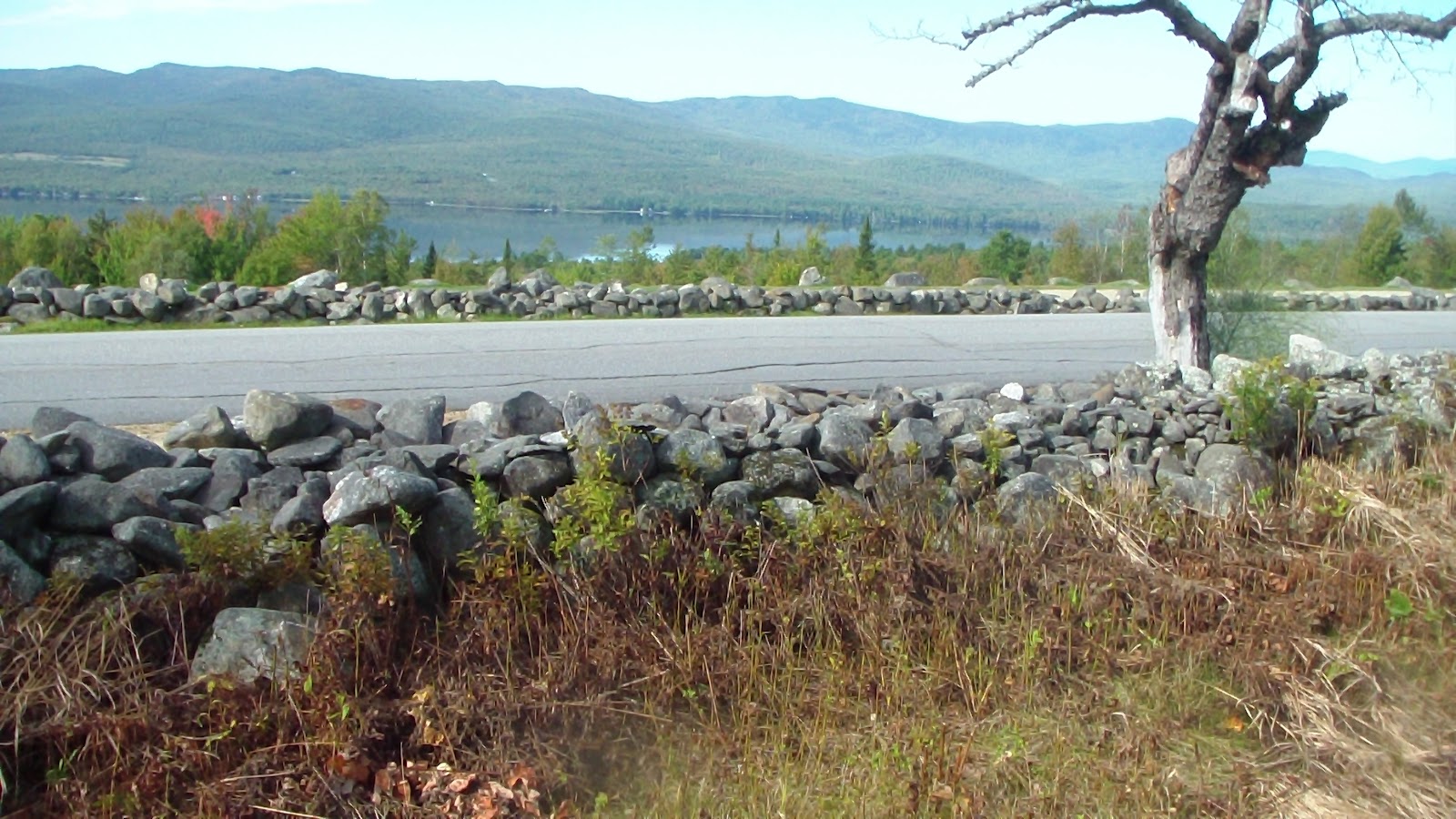
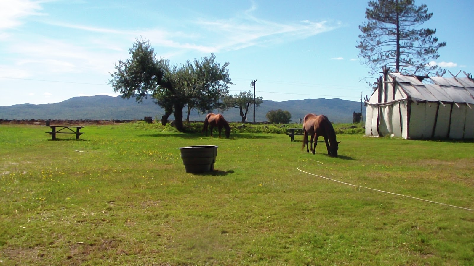
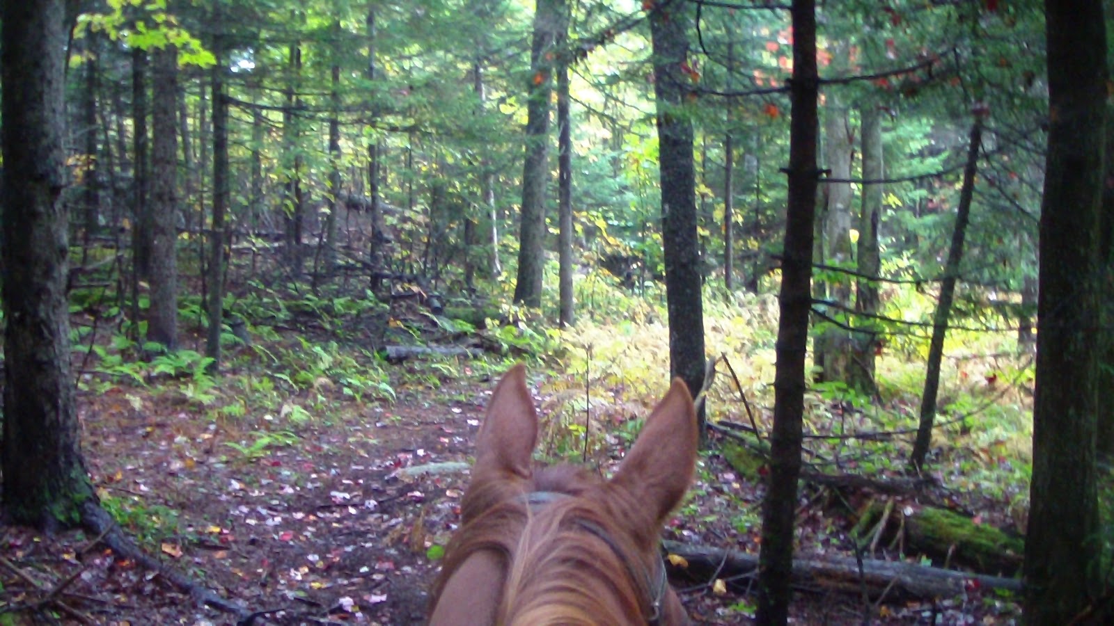
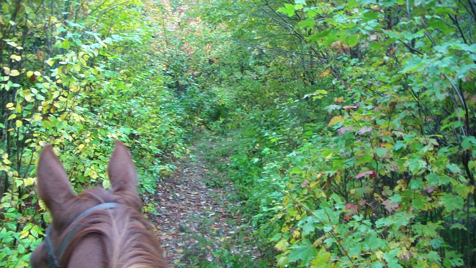
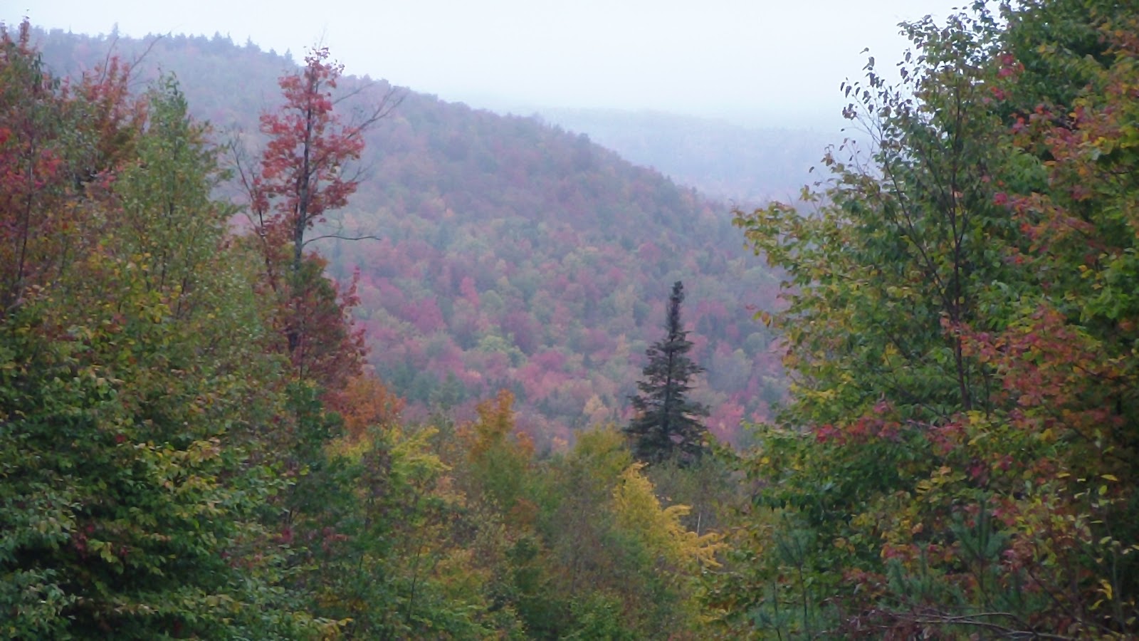
The morning started off drizzling again, but gradually it lessened enough by 1:00 to convince us we could take a ride today. Dave had provided us with a couple of rough maps of the area, and we chose a short, 3-mile loop, which I then roughly mapped out by hand and downloaded to my GPS, just in case. We weren’t sure about the condition of the trails, as one of the first things Dave had pointed out to us when we arrived was that horses were allowed on all the same roads as hikers and bikers, so we were afraid much of the riding would simply be around the neighborhood. Anyway, we saddled up the horses, who seem quite ready to go on a ride, having been standing around in the rain (with their winter blankets on, of course) for the last day and a half. Headed further up the road we came in on, which was heavily graveled, until it finally narrowed, with a left fork turning into a road with a barrier, and an actual trail (with no markings whatsoever) off to the right. After consulting my GPS, we determined that right was correct, and headed off that way. We went through forest with rocky trails and lots of pine roots, before finally coming out at an intersection (which wasn’t marked on the map at all). We defaulted to straight ahead, which my GPS eventually confirmed, and the trails along here were grassy with just a few rocks. Then the trees started closing in, and with all the rain, many branches were hanging low, so we were getting wet as we passed by. Then we came out in a clearing where another gravel road, (though with less gravel, thank goodness) headed us back downhill. That eventually leveled off and we got a lovely fast canter in, the horses almost racing each other for quite a ways before they decided to slow down. I love it when we have a stretch long enough for THEM to make up their minds about stopping. Then we passed around a gate, which then turned into a dirt road through a neighborhood for a short ways. Then, thanks to my GPS and some directions from Dave, we found another trail through the woods, not rocky but still with a lot of pine roots sticking up, that took us uphill to Brock Road, which is where the campground is. At the top of the hill we turned right, and viola! We were home. Gone just a little over an hour, which was perfectly fine considering it was cold and damp and we were wet. The horses had gotten just enough exercise to be ready for more, though we’re not likely to ride again in NH. Got them settled into a new paddock (the one they had been in was so muddy we decided to move them next door), with their blankets on so they would stay clean and dry and warm, and we headed in for hot chocolate and ice cream before settling in for the day, more writing and more laundry, not to mention getting lots of movies recorded for later viewing!

Friday, September 28, 2012 – Rain Day

Sure enough, rain came in overnight, temps dropped into the 30’s, and to make matters worse, just before we went to bed last night, we lost electricity, so we couldn’t have our little space heaters on like we had planned. I got out my wool cap for sleeping, so I ended up sleeping okay without waking up freezing. Anyway, this morning, I checked the breakers that Hubby had checked last night, and found the main switch was off, which he evidently missed. So we had electric again, which I promptly put to good use by starting another load of laundry. Spent the day working inside, while the day outside was a constant drizzle. Hoping for enough of a break tomorrow to get in a ride!

Thursday, September 27, 2012 – Travel Day to BuckNHorse in New Hampshire

Since the total travel time to our next stop was only about an hour and a half, we let ourselves sleep an extra hour beyond our usual travel day schedule, and we stopped for a sitdown breakfast at a little cafe just south of the forest. Picked up fuel along the way as well, otherwise an uneventful trip, though the fall colors are just perfect, and we saw a few beautiful vistas along the way. My Navigation app on my new smartphone was picture perfect getting us the BuckNHorse, except for the last quarter mile. There were no signage for the campground, and only a mailbox at the end of the gravel road to assure me we were in the right place. How far up the road was the question. I stopped halfway to call Dave, the owner, because honestly, the road didn’t look like much and it was getting worse as we went, and I certainly didn’t want to get into someplace I couldn’t get out, especially considering we were climbing a pretty steep hill, not one I’d be happy about having to back down again. I got Dave on the phone, though, and he assured me to keep coming, so we kept climbing. Then I saw him in the road waving at me, but the last 100 feet were the worse, very steep, so much so the tires on my 6.6L diesel GMC starting spinning! Finally managed to get a grip and made it to the top. Sure glad the way out is downhill! Made our introductions and Dave led us down a small hill with a row of campsites on each side, each with a hot wire corral at the back of it and some scrub brush to separate each site, so not much of a view. He gave us our choice of sites, and in fact, let us have two sites, one for the RV and one for the horse trailer, as the place was empty except for a couple of permanent seasonal sites. Hubby picked the ones he thought would be best for his satellite dish, we did our business with Dave (quite a bit more than we usually pay, but then again, we have water, electric and sewer on site, so I’ll be busy doing laundry all weekend :-), and we proceeded to get everything and everyone settled in. Hubby had a little trouble finding a satellite signal after all, as there was a row of trees in the way, but he finally managed to sneak past a few to get a decent signal. At last I had a good enough cell phone signal to use my mobile hot spot, yeah! It did drop out occasionally, but I still managed to get quite a bit of work done. It was a nice day, but the weather forecast isn’t looking very good, predicting lots of rain overnight, and intermittent all weekend, with cold temps tomorrow, moderating up a little each day, but not really getting into what we would call comfortable for a ride. We’ll have to ride bundled up and between showers, then, as we have to check of New Hamphire from the list!

Wednesday, September 26, 2012 – Computer Day

Slept late but woke up with aching muscles, so after a couple of Ibuprofen and a few more winks, got up and did our usual chores, had breakfast, then headed out to find someplace I could work a few hours on the computer. As I was heading past the entry gate, I had a word with the ranger about the maps, and eventually learned that he had a wi-fi right at the ranger station, said I could park next to it, gave me the code and away I went! Saved me having to look for a place by the side of the road anyway. Sat there for a good three hours getting a lot of work done (mostly updating and uploading my blog, having got behind because of all the dead cell zones we’ve been in lately), including some maps for upcoming trips, and made a few phone calls on Skype (my smart phone still didn’t work, since I was still in a dead cell area, though I was able to get online through the wi-fi), in preparation for our next few weeks of travel. Finally headed back to camp in time for ice cream, and had a quiet afternoon and evening.

Tuesday, September 25, 2012 – Ride Day at New Discovery State Park, VT

Some kind of hive?

Got up at our usual, non-travel day time (about 9:00), though Hubby had to slip out of bed a half hour earlier to turn on the furnace. It had been a cold night, and we were glad the horses had on their winter blankets. After a leisurely breakfast, we had a discussion about where to ride today. We had two versions of the trail maps from here, and they didn’t agree on a lot of points, with lots of multi-use trails that suddenly changed into hiking trails, or dead-ended, or became forest and sometimes even county roads. I finally managed to chisel out a loop, and downloaded it onto my GPS for backup. As we were saddling the horses, a young ranger I had spoken with yesterday came over with another set of maps that Karen, one of the workers here, had highlighted for me. I was pleased that the trail I had planned was almost exactly the same route, so off we went, fairly certain we wouldn’t have much trouble following that route. Alas, it didn’t quite work out that way. We were delighted with the first part of the trail, it being more of a trail and less of a road that we thought it might be, but before long, we ran into our first map problem. After passing through a parking area, which we expected, we soon came to a road, which we also expected. According to the map, we were to take a left and cross the main road, 232, to the trail on the other side. We crossed the road, but couldn’t find the trail. Worse, when we crossed the road, we were at the entrance to a place to Owl’s Head, which, according to the map, should have been some distance north of the road crossing that we were supposed to be making. Since I had based my GPS directions on the inaccurate map, that didn’t help much. I finally decided we would go back up the road in the other direction and see what happened. Before long, we were approaching what was obviously private property, and were almost ready to turn back when I saw an intersection ahead with what looked like street signs of a sort. When we got to the intersection, we saw another road sign assuring us we were on Lanesboro Rd., but it also indicated the crossroad we were facing was the Cross Vermont Trail. Well, we knew we wanted to go south, so we turned left and followed the trail in that direction. We soon ran into some bikers, but they were just visitors and couldn’t help us, and in fact, they thought they might be lost, too. Anyway, it was obviously a rails-to-trails road, but they put a really nice footing on it, so it was a nice ride, partly circling a large pond, until we came to an intersection. We knew we needed to go east at some point, and the GPS seemed to indicate this would get us back on track, so we turned left again, heading downhill for quite some time until we ran into 232 again. This time when we crossed it, we clearly found the trail we were looking for and breathed a sigh of relief. Again, it was long and straight, right through a beautiful forest, so picturesque with the trees all turning colors, it almost took our breath away. Got in some lovely trots and canters as well, it being so straight and wide. Eventually we reached our next left turn, which took us toward a campground by a lake. Again, the map was vague, and we wandered through the campground for a while, watered the horses at the lake before deciding to take a little hiking trail with a sign that said “to store.” It got too narrow, but paralleled the road, so as soon as we could we moved out, passing the general store (closed), passing the Big Deer campground, running into some road traffic along the way, before finally reaching the Nature Center, which, according to Karen’s map, would lead us to another trail that would bring us north again. We circled the Nature Center looking for a suitable trail, and found only two trailheads, both of which seemed to narrow and close for horses, but we finally found one that had the name of the trail we thought we needed, Hosmer Brook, and headed out on it. It was narrow and rocky, and at one point, there was a 6-inch diameter tree across the trail with no safe way around it, so I got out my trusty folding camp saw and spent 10 minutes cutting it and pushing it out of the way. Soon afterward, we came across a bog that only had a two-plank, loose boardwalk, which was not suitable for horses either, but since our horses are so experienced, they managed to get across okay, with Apollo only slipping once on one foot in the back but quickly recovering. That horrible trail finally ended up on a newly-bulldozed trail, again with no markings, so first we went right, thinking that would take us north, but then I didn’t trust the newness of the trail, so we turned around and headed left instead. That bulldozed section soon met up with an older established trail, and, at last we found a trail marker indicating we were coming out of multi-use trail! We took that trail north, and seemed to finally be on the right track on something known as the Telephone Line Trail. That ended at another intersection that had no markings, except for the trail from which we emerged. We knew we were close to the campground, but wasn’t sure if we needed to go straight or turn left. We turned left, but then my GPS indicated we were heading too much west and not enough north, so we turned back and sent straight for more than a mile, before once again deciding we were on the wrong track, and had to turn around again. By this time we were exhausted, having been in the saddle for more than 4 hours, and not in the mood for more map mistakes. We headed back to the intersection and took the road we thought was going too westerly, but it turned out to be correct, and that we were only about a quarter mile from the campground. So far out of our way, just because they didn’t have a sign or a trail marker indicating the way back to camp! So even though the trails were very enjoyable, and there were many more of them than the map indicated, the day was a bit spoiled because of all the map and trail marking failures. Very frustrating, but then again, we’ve been to so many places like this, we’re almost used to it. It wouldn’t take much to fix the problem, we’re just at a loss as to why so many places don’t take marking their trails or making good maps for their visitors more seriously. Quite frankly, I expect that will be our next career, making maps for parks who can’t or won’t bother. Anyway, got the horses fed and settled in, including winter blankets as it’s supposed to rain and get cold overnight, fed the dogs and the family, and had a relaxing, or rather, exhausted, evening.

Monday, September 24, 2012 – Travel Day to New Discovery State Park, VT

Got up early to get ready to go, and was greeted by some stunning vistas across the road. As you’ve seen from early pix, there’s a lake, then mountains across from us, and this morning, after a misty night, there was a fantastic cloud layer at eye level and below. It reminded my of home, when the valley we overlook makes clouds like that. Truly stunning and impressive. Had to get some pix of that! Once we packed up, we headed out, using my new smartphone’s Navigation system, whose map, unlike Verizon Navigator, exactly matches the print map I pulled off the internet. Not too surprising, as they’ve both powered by Google maps. In any event, we had planned to stop for breakfast at a little diner in town, but discovered the parking area was WAY too small for us, so we headed back on the road until we found a Dunkin’ Donuts at a gas station. We had never eaten there before, but I had stopped at one a few months ago and discovered they serve breakfast all day, which is perfect for those times when we get a late start. Anyway, it was very good for fast food. The croissants seemed bigger than at Burger King, and the hash browns were laced with some lovely herbs, giving it a really nice flavor unlike any other breakfast potatoes we’ve ever had at any of the usual chains. Anyway, we soon arrived in Littleton, where we bought oats at Tractor Supply, groceries at Shaws, gas for the van and the generators, propane at a 100-year old hardware store, and picked up some of Hubby’s favorite brandy on sale! All within about 100 yards of each other, it was a very efficient stop. Finally headed out again, arriving at New Discovery State Park in less than an hour. We were greeted warmly by the ranger, and soon the woman I had spoken to last week came out to welcome us as well. They said we were going to have the place to ourselves at the horse camp, so feel free to pick any site that we wanted and to spread out as much as we liked. Love that kind of freedom! Since it was a mostly open area, we were set up in no time. Each campsite here had what the rangers called “corrals”, but in fact were posts with clips on them so that if you have your own electric fence, you could create a corral, but since we don’t carry that, we fixed up a highline between a couple of trees. We put the horses out on their anchors so they could mow and fertilize again, which has been a great way to keep our hay use down! Took a walk to the ranger station to ask where the nearest cell phone signal was, and they said stand by their mailbox by the side of the road was a good spot. Forecast calling for temps in the 30s, so we put the winter blankets on the horses before going to bed, trying to avoid them growing too much of a winter coat before we head south. Had a relaxing evening, especially since there was zero cell phone signal here in the campground, so I had to get off my computer for a change!

Sunday, September 23, 2012 – Second Ride Day at Mt. Blue

After a leisurely breakfast, we headed out on the trail again, this time just the short loop, which Bruce said was about four miles. This turned out to have some better, more grassy footing than the longer trail yesterday, so we managed to get a couple of trots and canters in. It made a lovely pass near the lake which provided another gorgeous view before turning back up to the campsite. Our brilliant horses started out a bit reluctant, but once we got on a new trail they got a little happier. We were only gone about an hour and a half, and they were back to eating clover in an area surrounded by rocks which we learned they flooded to make a skating rink in the winter. That’s one thing that is so predominant in Maine, the stone walls. A victim of the glacier 20,000 years ago, there are rocks and boulders of all sizes here, and generations of Mainers have collected them and used them to build low stone walls everywhere, apparently partly to clear their fields of rocks and partly to create walls to keep their livestock in. At Bradbury Mountain, they even had what they called a Livestock Pound build in the 18th century, where livestock that had wandered away from their owners were collected, and only released back to their owners when they paid the town a fine. Early taxes, those sneaky folks… Anyway, once again a lovely ride, followed by a nice chat with the neighbors before they left us on our own again. Relaxed for the evening once again in anticipation of our departure tomorrow.

Saturday, September 22, 2012 – First Ride Day at Mt. Blue

Late last night we were joined by a group of ATVers, with whom we had a nice chat as we did our morning chores. Headed out after breakfast, saddled and booted since the trails seemed to have quite a bit of stone on it, which turned out to be true, though most of it was pretty big stone rather than small gravel, which was easier on the horses. Headed out on what I guess would be considered the middle loop, which took us to a lovely place called Hedgehog Hill, where we had to leave the horses down below to hike up to the top of the hill, a stone cap on the mountain similar to Bradbury Mountain, but without the crowds. The view was equally stunning, however, particularly since the trees are just starting to turn their fall colors. Someone had somehow managed to build or haul up a couple of picnic tables on top, and we rested there, enjoying the view on all sides, and chatting for awhile. What a gorgeous day, the weather was perfect again. Took some great pix from up there, and another one of a rock that looked like a giant snapping turtle head on the road back. Climbed down again, passed a barren teepee at an intersection that has a plaque that invites travelers in to rest and build a small fire (very poetically, I might add, using old Iroquois wisdom), but it was in need of repair and walls. Found out later from Diana (another ranger) that the teepee isn’t used during the summer, but would be fixed in time for the winter season (which probably starts in the next few weeks : -) for the skiers, snowmobilers and snowshoers that apparently use the park to great advantage during the six months of winter here. Anyway, our ride ended up being about 7 ¾ miles long, another perfect day on the backs of our brilliant horses! Late in the day, some friends of the ATVers showed up with two horses, which they put in a portable corral. Meanwhile, ours were back in the “skating rink” happily munching on grass and clover.

Friday, September 21, 2012 – Runaround Day

  Had a late breakfast, then waited around until the mail arrived at noon, hoping for a package I was expecting yesterday, and today it finally came. I spent an hour going through everything, did a few business things that needed to be mailed out asap, so we decided I would do the mail and then try to activate my new smartphone. I headed out to the post office, then in search of a non-extended area, which turned out to be a dozen miles or more away. Spent several hours on the phone with Verizon tech support trying to work out the kinks, made some progress but still not all the way there, or so it seemed when I returned to the campsite, because I couldn’t get the hotspot connected to my laptop properly. Again, probably because of the extended area, but won’t know for sure until I get more time in a digital area. Anyway, finally gave up for the day, spent a nice evening before heading to bed at a reasonable hour, looking forward to a nice ride tomorrow.

Thursday, September 20, 2012 – Travel Day to Mt. Blue State Park

 Time to head west, we’ve gone about as far east as the United States geography will let us go. We’re going to finish off Maine by stopping at Mt. Blue, which is very near the New Hampshire border. The trip was mostly cross-country, with just a few miles on an interstate, with one stop at a Burger King for breakfast, and again at a small town grocery store for a few supplies. Arrived at Mt. Blue by noon, and was warmly greeted by Bruce, who presented me with a FedEx package containing my new smartphone (my first). We weren’t in the main camping area by the lake, but rather up in the Center Hill area next to the ranger’s house, where there is plenty of lawn and a trailhead for several multi-use loops. We parked off to one side, near the only place with two trees open enough to provide us a highline for the horses, and even that was a stretch, using every last inch of rope we had to get between them, but we managed in the end. Bruce ran a water hose from the house out to us so we could fill up our tanks, and he filled a large livestock trough as well, as he was expecting another couple with horses later in the weekend. We were set up in no time, and I spent a good part of the afternoon getting acquainted with my new smartphone, the only problem being that I’m in an extended network here, and that always creates major data problems. I managed to get online okay with my old aircard, but no luck with the hotspot my new phone was supposed to create. Had trouble getting the phone authorized, again because I suspected I was in an extended zone, but the regular signal was so weak I couldn’t keep a phone call going long enough to get any real answers. Looks like it will take a trip to a regular digital zone to get it straightened out.